Near Nickelsville in Scott County, Virginia — The American South (Mid-Atlantic)
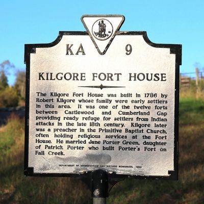
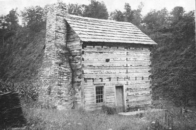
Kilgore Fort House
Erected 1986 by Department of Conservation and Historic Resources. (Marker Number KA-9.)
Topics and series. This historical marker is listed in these topic lists: Forts and Castles • Settlements & Settlers. In addition, it is included in the Virginia Department of Historic Resources (DHR) series list. A significant historical year for this entry is 1786.
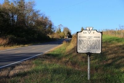
Location. 36° 44.134′ N, 82° 26.051′ W. Marker is near Nickelsville, Virginia, in Scott County. Marker is on Nickelsville Highway (Virginia Route 71) north of Angus Glen Drive, on the right when traveling north. Touch for map. Marker is in this post office area: Nickelsville VA 24271, United States of America. Touch for directions.
Other nearby markers. At least 8 other markers are within 7 miles of this marker, measured as the crow flies. Houston’s Fort (approx. 3.7 miles away); At the Park (approx. 4.8 miles away); A. P. Carter Boyhood Home (approx. 4.8 miles away); A. P. Carter Grocery (approx. 4.8 miles away); June Carter Cash (approx. 6 miles away); Early Settlers in Russell County (approx. 6.1 miles away); Patrick Porter (approx. 6.6 miles away); Patrick Hagan and Dungannon (approx. 6.6 miles away).
Also see . . . Kilgore Fort House. Despite its obvious defensive design, there is no record of the fort house being attacked by Indians. A story persists in the county that Cherokee Indians once camped on the far bank of Copper Creek, but that is unlikely since the far bank is a cliff. The fort house is on a natural crossing on Copper Creek that is still used today. Older residents remember when cars would ford the creek at this spot; at least two bridges, including the current one, have been built here. Unused bridge pilings still exist in the creek. (Submitted on November 25, 2015.)
Credits. This page was last revised on June 16, 2016. It was originally submitted on November 25, 2015, by J. J. Prats of Powell, Ohio. This page has been viewed 887 times since then and 80 times this year. Photos: 1, 2, 3. submitted on November 25, 2015, by J. J. Prats of Powell, Ohio.


