Stonewall in Gillespie County, Texas — The American South (West South Central)
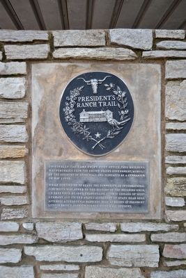
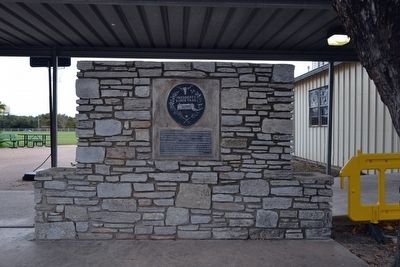
President's Ranch Trail
While continuing to serve the community, an international dimension was added to the history of the building when, on December 29, 1963, Chancellor Ludwig Erhard of West Germany and United States Secretary of State Dean Rusk attended a Texas-style barbecue here as guests of President Lyndon Baines Johnson, former Stonewall student.
Topics and series. This historical marker is listed in these topic lists: Education • Government & Politics. In addition, it is included in the Former U.S. Presidents: #36 Lyndon B. Johnson series list. A significant historical date for this entry is May 1, 1949.
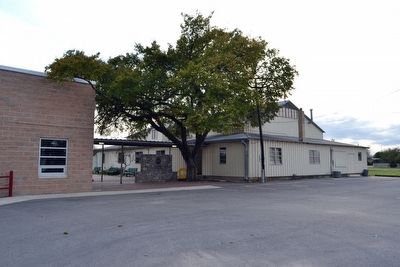
Location. 30° 14.233′ N, 98° 39.78′ W. Marker is in Stonewall, Texas, in Gillespie County. Marker can be reached from the intersection of Peach Street and Loring Street, on the right when traveling east. Marker is located at the west end of Stonewall Elementary School next to the gymnasium. Touch for map. Marker is at or near this postal address: 220 Peach St, Stonewall TX 78671, United States of America. Touch for directions.
Other nearby markers. At least 8 other markers are within 3 miles of this marker, measured as the crow flies. Lyndon Baines Johnson (within shouting distance of this marker); Major Israel M. Nunez (within shouting distance of this marker); Stonewall Community Cemetery (approx. 0.3 miles away); Triumphing Over Tragedy – The Danz Family Story (approx. 1.6 miles away); Within These Walls / Small Spaces, Many Faces (approx. 2.2 miles away); What is the President pointing to anyway? (approx. 2.2 miles away); A Grand Entrance (approx. 2.2 miles away); Aviation: Key to the Texas White House (approx. 2.3 miles away). Touch for a list and map of all markers in Stonewall.
Also see . . . President's Ranch Trail. From the Texas State Historical Association’s “Handbook of Texas Online”. (Submitted on November 26, 2015.)
Credits. This page was last revised on June 16, 2016. It was originally submitted on November 26, 2015, by Duane Hall of Abilene, Texas. This page has been viewed 368 times since then and 14 times this year. Photos: 1, 2, 3, 4. submitted on November 26, 2015, by Duane Hall of Abilene, Texas.


