Near Stonewall in Gillespie County, Texas — The American South (West South Central)
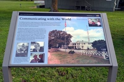
Communicating with the World
Lyndon B. Johnson National Historical Park
Despite these upgrades, Johnson’s rise to the presidency in November 1963 demanded a modern system allowing secure communications throughout the United States and the world. Within four weeks the LBJ Ranch had enough equipment for a small city: microwave towers providing 120 channels to Austin, underground phone cables, 72 telephones, two-way radios, teleprinters, and cryptographic machines. The green buildings in front of you housed a fifty-thousand-kilowatt emergency generator and switchboard.
(Bottom Left Photos Caption)
Lyndon Johnson could spend 18 hours a day on the phone: (clockwise from top right) White House Oval Office; reconstructed birthplace; Texas White House living room.
(Upper Right Photo Caption)
Working the switchboard, 1965.
(Right Photo Caption)
The TV antenna as it stood behind the ranch house in 1965. Lady Bird Johnson remembered it as “the bane of my life—aesthetically.”
Erected by National Park Service.
Topics and series. This historical marker is listed in this topic list: Communications. In addition, it is included in the Former U.S. Presidents: #36 Lyndon B. Johnson series list. A significant historical year for this entry is 1960.
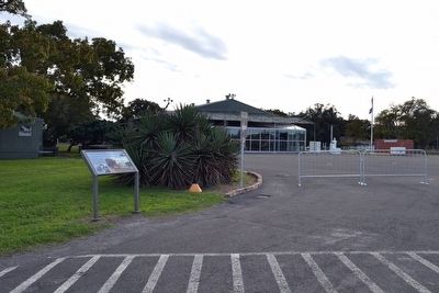
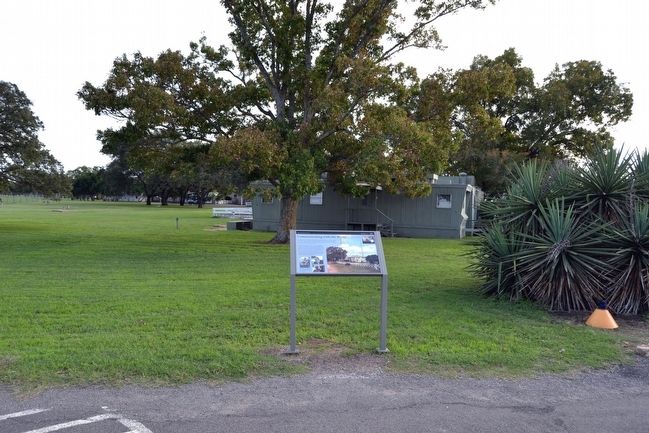
Location. 30° 14.52′ N, 98° 37.496′ W. Marker is near Stonewall, Texas, in Gillespie County. Marker is on Malecek Road, 0.1 miles north of Park Road 49, on the right when traveling south. Marker is located at the Texas White House complex in Lyndon B. Johnson National Historical Park. Touch for map. Marker is in this post office area: Stonewall TX 78671, United States of America. Touch for directions.
Other nearby markers. At least 8 other markers are within walking distance of this marker. Welcome to the Hangar (a few steps from this marker); The Jet Age Arrives! (within shouting distance of this marker); Aviation: Key to the Texas White House (within shouting distance of this marker); Lifetime of Service (within shouting distance of this marker); Friendship Stones (about 300 feet away, measured in a direct line); The Texas White House (about 400 feet away); A Grand Entrance (approx. 0.2 miles away); What is the President pointing to anyway? (approx. ¼ mile away). Touch for a list and map of all markers in Stonewall.
Related markers. Click here for a list of markers that are related to this marker. This list consists of 26 wayside exhibits along the LBJ Ranch driving tour in Lyndon B. Johnson NHP. The markers are in order as you would encounter them on the driving tour.
Also see . . . Lyndon B. Johnson National Historical Park - Official Website. (Submitted on December 5, 2015.)
Credits. This page was last revised on June 16, 2016. It was originally submitted on December 5, 2015, by Duane Hall of Abilene, Texas. This page has been viewed 409 times since then and 25 times this year. Photos: 1, 2, 3. submitted on December 5, 2015, by Duane Hall of Abilene, Texas.


