Flanders in Morris County, New Jersey — The American Northeast (Mid-Atlantic)
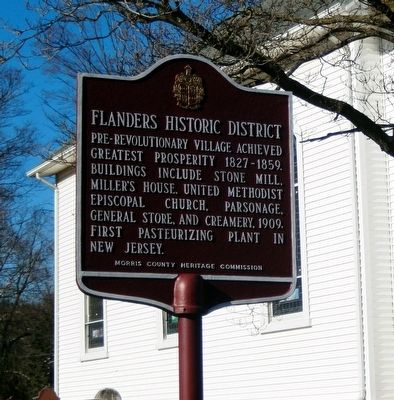
Flanders Historic District
Erected 1980 by Morris County Heritage Commission.
Topics. This historical marker is listed in these topic lists: Industry & Commerce • Settlements & Settlers.
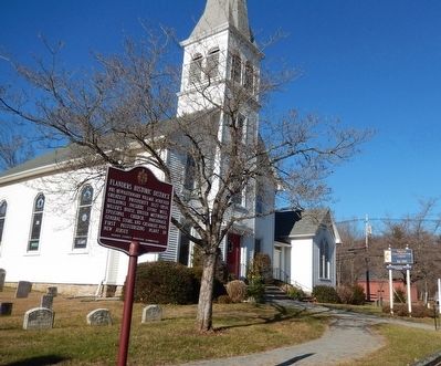
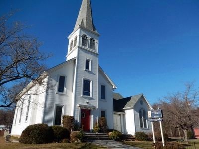
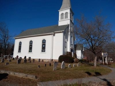
Location. 40° 50.711′ N, 74° 41.696′ W. Marker is in Flanders, New Jersey, in Morris County. Marker is at the intersection of Park Place (NJ 652) and Hillside Avenue (NJ 619) on Park Place (NJ 652). The marker is in front of the Flanders United Methodist Church. Touch for map. Marker is in this post office area: Flanders NJ 07836, United States of America. Touch for directions.
Other nearby markers. At least 8 other markers are within 4 miles of this marker, measured as the crow flies. Cary Station (approx. 1.2 miles away); Daniel Cary House - 1771 (approx. 1.3 miles away); Mount Olive Village (approx. 2.1 miles away); Bartleyville (approx. 2.8 miles away); Budd Lake Community (approx. 3 miles away); Flanders-Drakestown Road Stone Arch Bridge (approx. 3 miles away); Morris Canal "King's Basin" (approx. 3.2 miles away); Morris Canal (approx. 3.2 miles away). Touch for a list and map of all markers in Flanders.
Credits. This page was last revised on June 16, 2016. It was originally submitted on December 10, 2015, by Don Morfe of Baltimore, Maryland. This page has been viewed 641 times since then and 85 times this year. Photos: 1, 2, 3, 4. submitted on December 10, 2015, by Don Morfe of Baltimore, Maryland. • Bill Pfingsten was the editor who published this page.


