Mont Alto in Franklin County, Pennsylvania — The American Northeast (Mid-Atlantic)
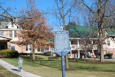
Mont Alto
Erected by Penn State Alumni Association.
Topics and series. This historical marker is listed in these topic lists: Education • Industry & Commerce. In addition, it is included in the Pennsylvania State University series list. A significant historical year for this entry is 1893.
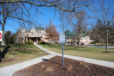
Location. 39° 50.498′ N, 77° 32.566′ W. Marker is in Mont Alto, Pennsylvania, in Franklin County. Marker can be reached from Campus Drive, 0.1 miles north of Park Street (Pennsylvania Route 233), on the left when traveling north. Located on the campus of Penn State Mont Alto. Touch for map. Marker is in this post office area: Mont Alto PA 17237, United States of America. Touch for directions.
Other nearby markers. At least 8 other markers are within 4 miles of this marker, measured as the crow flies. Conklin Hall (about 500 feet away, measured in a direct line); George H. Wirt (about 600 feet away); Ralph Elwood Brock (about 700 feet away); Pennsylvania State Forest Academy (about 700 feet away); John Brown Raid (about 700 feet away); Captain John E. Cook (about 700 feet away); Chestnut Spring (approx. 0.6 miles away); Snow Hill Cloister (approx. 3.9 miles away). Touch for a list and map of all markers in Mont Alto.
Also see . . . Penn State Mont Alto Campus. (Submitted on January 14, 2016, by Mike Wintermantel of Pittsburgh, Pennsylvania.)
Credits. This page was last revised on July 24, 2021. It was originally submitted on January 14, 2016, by Mike Wintermantel of Pittsburgh, Pennsylvania. This page has been viewed 406 times since then and 19 times this year. Photos: 1, 2. submitted on January 14, 2016, by Mike Wintermantel of Pittsburgh, Pennsylvania.

