Marker Logo HMdb.org THE HISTORICAL
MARKER DATABASE
“Bite-Size Bits of Local, National, and Global History”
Near Bryantown in Charles County, Maryland — The American Northeast (Mid-Atlantic)
 

St. Mary’s Church


St. Mary's Church image. Click for full size.
Photographed By Richard White, October 21, 2007
1. St. Mary's Church
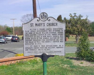
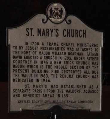
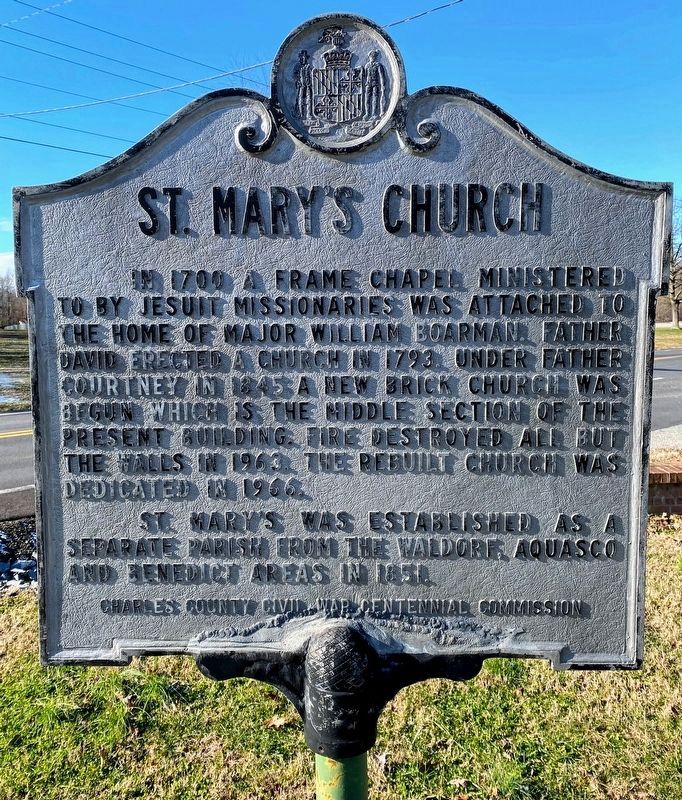
Inscription. In 1700 a frame chapel ministered by Jesuit missionaries was attached to the home of Major William Boardman. Father David erected a church in 1793. Under Father Courtney in 1845 a new brick church was begun which is the middle section of the present building. Fire destroyed all but the walls in 1963. The rebuilt church was dedicated in 1966.

St. Mary’s was established as a separate parish from the Waldorf, Aquasco and Benedict areas in 1851.
 
Erected by Charles County Civil War Centennial Commission.
 
Topics. This historical marker is listed in this topic list: Churches & Religion. A significant historical year for this entry is 1700.
 
Location. 38° 32.317′ N, 76° 50.467′ W. Marker is near Bryantown, Maryland, in Charles County. Marker is on Olivers Shop Road (Maryland Route 232) 1.2 miles south of Leonardtown Road (Maryland Route 5). Touch for map. Marker is in this post office area: Bryantown MD 20617, United States of America. Touch for directions.
 
Other nearby markers. At least 5 other markers are within 4 miles of this marker, measured as the crow flies. St. Mary’s Church and Cemetery (a few steps from this marker); Boarman's Manor (within shouting distance of this marker); Rev. Lawrence Anthony Bender, S.S. (approx. ¼ mile away); Village of Bryantown (approx. 1.1 miles away); John Thomas Parran, Jr
Paid Advertisement
Click on the ad for more information.
Please report objectionable advertising to the Editor.
Click or scan to see
this page online
(approx. 3.8 miles away). Touch for a list and map of all markers in Bryantown.
 
Also see . . .  St. Mary’s Catholic Church and School. Official Website. (Submitted on May 15, 2008, by Kevin W. of Stafford, Virginia.) 
 
St. Mary’s Church Marker image. Click for full size.
Photographed By Shane Oliver, December 26, 2020
2. St. Mary’s Church Marker
St. Mary’s Church Marker image. Click for full size.
Photographed By Tom Fuchs, March 31, 2007
3. St. Mary’s Church Marker
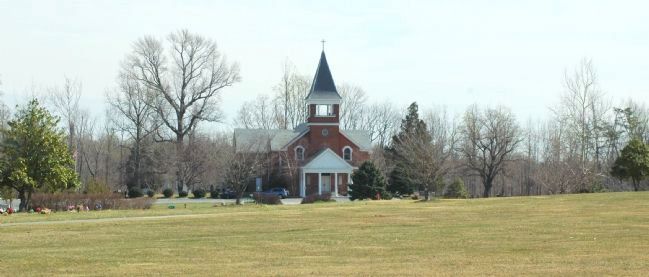
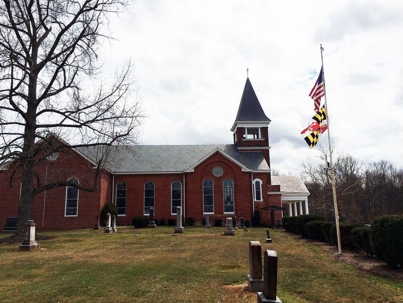
St. Mary's Church as Seen from the Road image. Click for full size.
Photographed By Tom Fuchs, March 31, 2007
4. St. Mary's Church as Seen from the Road
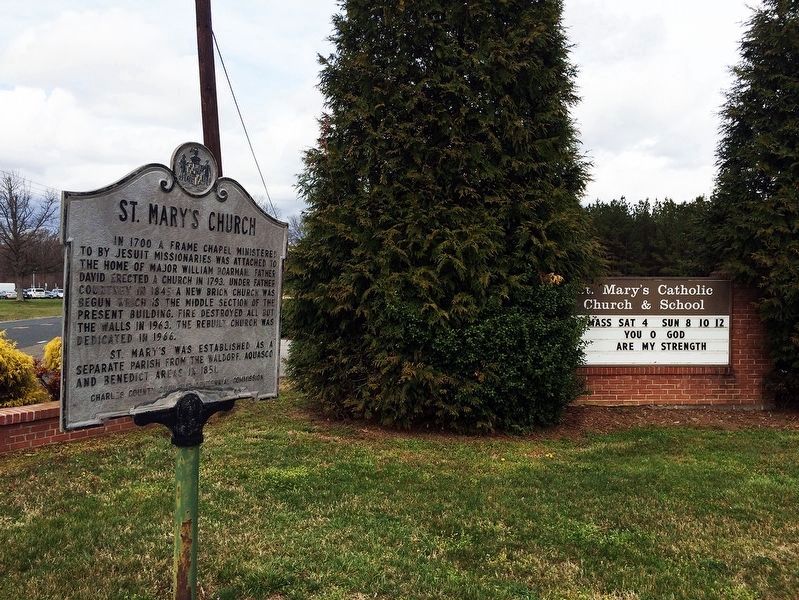
St. Mary’s Church Marker & St. Mary's Catholic Church & School sign image. Click for full size.
National Park Service, Thomas Stone National Historic Site, March 28, 2017
5. St. Mary’s Church Marker & St. Mary's Catholic Church & School sign
St. Mary’s Church exterior. image. Click for full size.
National Park Service, Thomas Stone National Historic Site, March 28, 2017
6. St. Mary’s Church exterior.
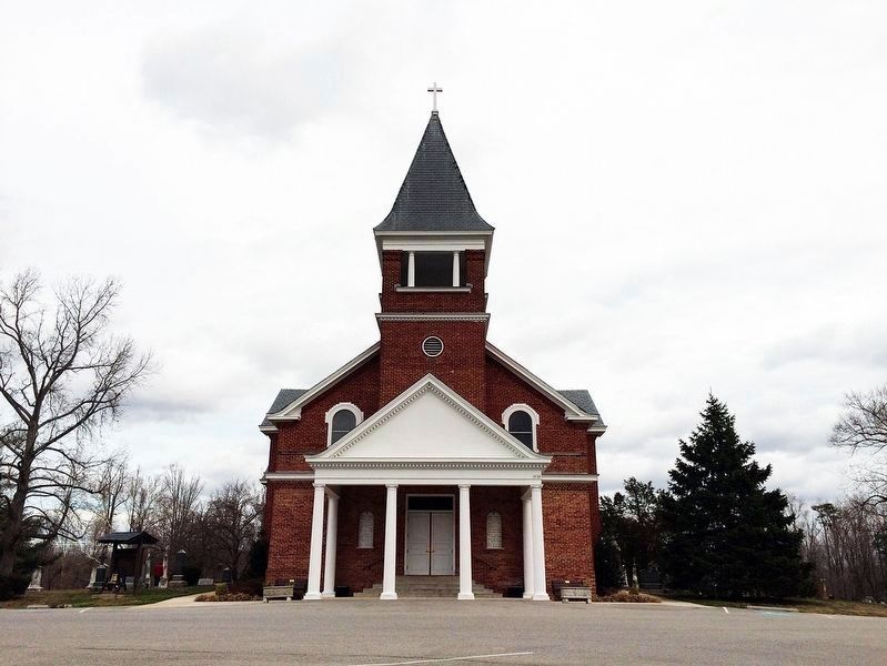
St. Mary’s Catholic Church Exterior image. Click for full size.
National Park Service, Thomas Stone National Historic Site, March 28, 2017
7. St. Mary’s Catholic Church Exterior
 
 
Credits. This page was last revised on June 22, 2021. It was originally submitted on April 7, 2007, by Tom Fuchs of Greenbelt, Maryland. This page has been viewed 2,995 times since then and 67 times this year. Photos:   1. submitted on May 15, 2008, by Richard White of La Plata, Maryland.   2. submitted on June 10, 2021, by Shane Oliver of Richmond, Virginia.   3, 4. submitted on April 7, 2007, by Tom Fuchs of Greenbelt, Maryland.   5, 6, 7. submitted on January 16, 2019, by David Lassman of Waldorf, Maryland. • J. J. Prats was the editor who published this page.
Share this page.  
Share on Tumblr
m=925

CeraNet Cloud Computing sponsors the Historical Marker Database.
This website earns income from purchases you make after using our links to Amazon.com. We appreciate your support.
Paid Advertisement
May. 10, 2024