Macon in Noxubee County, Mississippi — The American South (East South Central)
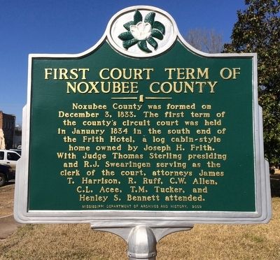
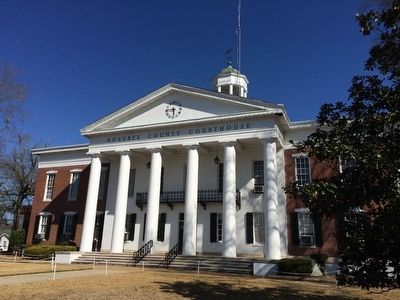
First Court Term of Noxubee County
Erected 2009 by Mississippi Department of Archives and History.
Topics and series. This historical marker is listed in this topic list: Government & Politics. In addition, it is included in the Mississippi State Historical Marker Program series list. A significant historical month for this entry is January 1834.
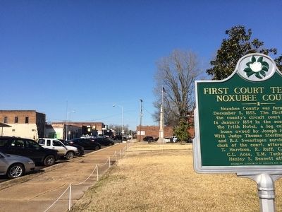
Location. 33° 6.331′ N, 88° 33.661′ W. Marker is in Macon, Mississippi, in Noxubee County. Marker is at the intersection of Jefferson Street (State Highway 145) and East Adams Street (State Highway 14), on the right when traveling north on Jefferson Street. Touch for map. Marker is at or near this postal address: 505 Jefferson Street, Macon MS 39341, United States of America. Touch for directions.
Other nearby markers. At least 8 other markers are within walking distance of this marker. Noxubee County Confederate Monument (within shouting distance of this marker); Old Noxubee County Jail (about 300 feet away, measured in a direct line); Black Prairie Blues (about 500 feet away); First Baptist Church (approx. ¼ mile away); Macon Presbyterian Church (approx. 0.4 miles away); Dancing Rabbit Creek (approx. 0.4 miles away); First United Methodist Church (approx. 0.4 miles away); Calhoun Institute (approx. half a mile away). Touch for a list and map of all markers in Macon.
Credits. This page was last revised on June 16, 2016. It was originally submitted on February 20, 2016, by Mark Hilton of Montgomery, Alabama. This page has been viewed 343 times since then and 23 times this year. Photos: 1, 2, 3. submitted on February 20, 2016, by Mark Hilton of Montgomery, Alabama.


