Near Antioch in Contra Costa County, California — The American West (Pacific Coastal)
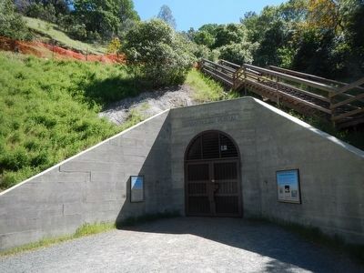
Greathouse Portal
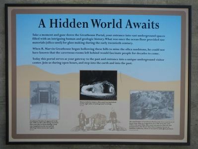
A Hidden World Awaits
Photographed By Barry Swackhamer, April 1, 2016
1. Greathouse Portal Marker
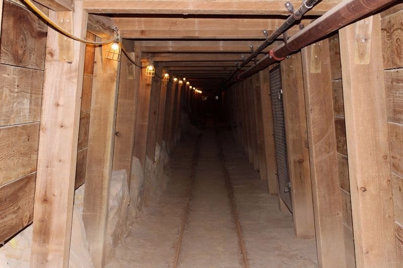
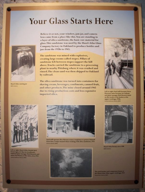
Captions: (bottom left) Greathouse Portal as it appeared in the late 1970s. In 2012, after being closed for four due to storm damage, work was completed on the new portal allowing visitors access once again.; (bottom center) Miners toiled to remove silica sand, leaving behind nearly eight miles of underground workings.; (bottom right) The sand bunker at Greathouse Portal at the lower most level of Hazel-Atlas Mine as it appeared circa 1948. From the early 1920s to the mid-1940s, silica sand was mined at this site and transported to the Hazel-Atlas Glass Company factory in Oakland, California, where it was used to make glass products.
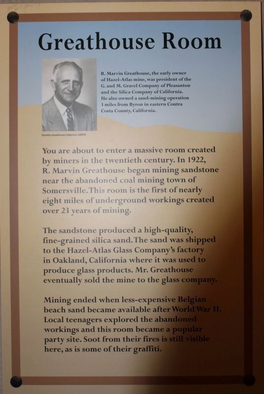
When R. Marvin Greathouse began hollowing these hills to mine the silica sandstone, he could not have known that the cavernous rooms left behind would fascinate people for decades to come.
Today this portal serves as your gateway to the past and entrance into a unique underground visitor center. Join us during open house, and step into the earth and into the past.
Erected by East Bay Regional Park District.
Topics. This historical marker is listed in this topic list: Industry & Commerce.
Location. 37° 57.297′ N, 121° 51.928′ W. Marker is near Antioch, California, in Contra Costa County. Marker can be reached from Somersville Road. Touch for map. Marker is at or near this postal address: 5175 Somersville Road, Antioch CA 94509, United States of America. Touch for directions.
Other nearby markers. At least 8 other markers are within walking distance of this marker. Mount Diablo Coal Field (within shouting distance of this marker); Eureka Slope (within shouting distance of this marker); Somersville Townsite (approx. 0.2 miles away); a different marker also named Mount Diablo Coal Field (approx. ¼ mile away); Black Diamond Mines Regional Preserve (approx. ¼ mile away); Independent Mine (approx. ¼ mile away); Rose Hill Cemetery (approx. 0.3 miles away); David Watts, Theophilus Watts and Thomas D. James (approx. 0.4 miles away). Touch for a list and map of all markers in Antioch.
More about this marker. This marker is located at the Greathouse Visitors Center in Black Diamond Regional Park.
Credits. This page was last revised on August 29, 2022. It was originally submitted on April 5, 2016, by Barry Swackhamer of Brentwood, California. This page has been viewed 645 times since then and 127 times this year. Last updated on May 8, 2022, by Joseph Alvarado of Livermore, California. Photos: 1, 2. submitted on April 5, 2016, by Barry Swackhamer of Brentwood, California. 3. submitted on August 26, 2022, by Joseph Alvarado of Livermore, California. 4, 5, 6. submitted on May 21, 2022, by Joseph Alvarado of Livermore, California. 7, 8. submitted on August 26, 2022, by Joseph Alvarado of Livermore, California. • Syd Whittle was the editor who published this page.
