La Crosse in Mecklenburg County, Virginia — The American South (Mid-Atlantic)
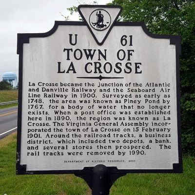
Town of La Crosse
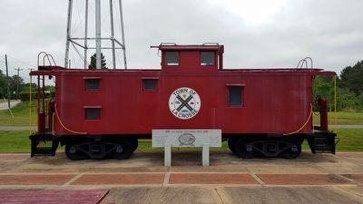
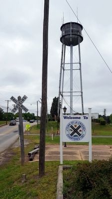
La Crosse became the junction of the Atlantic and Danville Railway and the Seaboard Air Line Railway in 1900. Surveyed as early as 1748, the area was known as Piney Pond by 1767, for a body of water that no longer exists. When a post office was established here in 1890, the region was known as La Crosse. The Virginia General Assembly incorporated the town of La Crosse on 15 February 1901. Around the railroad tracks, a business district, which included two depots, a bank, and a several stores, then prospered. The rail tracks were removed by 1990.
Erected 2000 by Department of Historic Resources. (Marker Number U-61.)
Topics and series. This historical marker is listed in these topic lists: Railroads & Streetcars • Settlements & Settlers. In addition, it is included in the Virginia Department of Historic Resources (DHR) series list. A significant historical date for this entry is February 15, 1901.
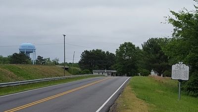
Location. 36° 42.054′ N, 78° 5.701′ W. Marker is in La Crosse, Virginia, in Mecklenburg County. Marker is on North Main Street (Virginia Route 621) south of Piney Pond Road (U.S. 58), on the right when traveling south. Touch for map. Marker is at or near this postal address: 303 N Main St, La Crosse VA 23950, United States of America. Touch for directions.
Other nearby markers. At least 8 other markers are within 6 miles of this marker, measured as the crow flies. Mecklenburg County Training School (approx. 2.4 miles away); Veterans Memorial Park (approx. 2˝ miles away); South Hill (approx. 2.6 miles away); Salem Chapel (approx. 2.7 miles away); Mecklenburg County / Brunswick County (approx. 3.4 miles away); Broadnax (approx. 4.1 miles away); Rolling Post Office (approx. 4.9 miles away); The American Thoroughbred in Brunswick (approx. 5.2 miles away).
Also see . . .
1. Complete Guide to the Tobacco Heritage Trail. Trying To Unwind website entry:
Everything You Need to Know Before You Visit this Virginia Rail Trail (Submitted on September 9, 2023, by Larry Gertner of New York, New York.)
2. La Crosse, Virginia. Wikipedia entry (Submitted on September 8, 2023, by Larry Gertner of New York, New York.)
Credits. This page was last revised on September 9, 2023. It was originally submitted on May 1, 2016, by Bernard Fisher of Richmond, Virginia. This page has been viewed 436 times since then and 48 times this year. Photos: 1, 2, 3, 4. submitted on May 1, 2016, by Bernard Fisher of Richmond, Virginia.


