Scotch Plains in Union County, New Jersey — The American Northeast (Mid-Atlantic)
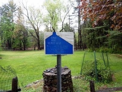
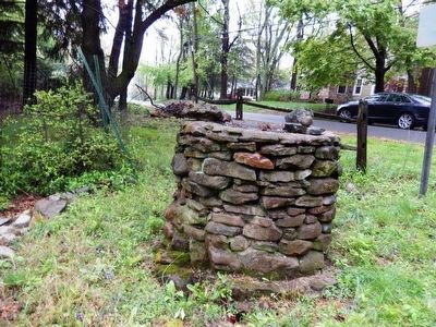
“Terry Well”
Circa 1760
Topics. This historical marker is listed in this topic list: War, US Revolutionary. A significant historical date for this entry is June 26, 1777.
Location. 40° 36.599′ N, 74° 23.023′ W. Marker is in Scotch Plains, New Jersey, in Union County. Marker is on Rahway Road. Touch for map. Marker is in this post office area: Scotch Plains NJ 07076, United States of America. Touch for directions.
Other nearby markers. At least 8 other markers are within 3 miles of this marker, measured as the crow flies. Frazee Homestead (approx. one mile away); “Dolbier House” (approx. 1.2 miles away); Plainfield Garden Club (approx. 1˝ miles away); “Littell Half Way House” (approx. 1.7 miles away); Quaker Meeting House (approx. 1.8 miles away); Police Athletic League Memorial Field (approx. 1.8 miles away); Homestead Farm at Oak Ridge (approx. 2 miles away); Oak Tree Pond (approx. 2.3 miles away). Touch for a list and map of all markers in Scotch Plains.
Also see . . . The Battle of the Short Hills - Garden State Legacy. (Submitted on May 7, 2016, by Bill Pfingsten of Bel Air, Maryland.)
Credits. This page was last revised on June 16, 2016. It was originally submitted on May 7, 2016, by Don Morfe of Baltimore, Maryland. This page has been viewed 600 times since then and 48 times this year. Photos: 1, 2, 3. submitted on May 7, 2016, by Don Morfe of Baltimore, Maryland. • Bill Pfingsten was the editor who published this page.


