South Strafford in Orange County, Vermont — The American Northeast (New England)
Furnace Flat
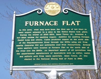
In this area, what may have been the first use of hot blast to smelt copper adjacent to a mine in the United States took place. During the winter of 1833-1834, Isaac Tyson, Jr., invented a hot-blast system for smelting copper. Assisted by smelting foreman Daniel Long and others, Tyson produced copper on the south side of the Ompompanoosuc River through the 1830s using ore from nearby Copperas Hill and anthracite coal from Pennsylvania. Several more smelters were located at Furnace Flat on the north side of the river into the 1860s. An important aspect of all operations was the experimental manufacture of byproducts such as sulfur, paint, and sulfuric acid from waste materials. Isaac Tyson, Jr. was elected to the National Mining Hall of Fame in 1996.
Erected 2013 by Vermont Division for Historic Preservation.
Topics. This historical marker is listed in this topic list: Industry & Commerce. A significant historical year for this entry is 1833.
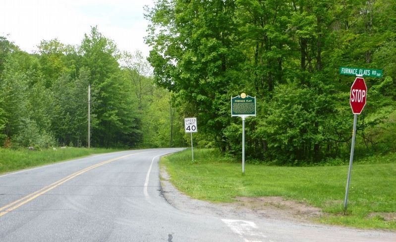
Location. 43° 50.098′ N, 72° 19.969′ W. Marker is in Strafford, Vermont, in Orange County. It is in South Strafford. Marker is at the intersection of Vermont Route 132 and Furnace Flats Road, on the left when traveling east on State Route 132. Touch for map. Marker is in this post office area: Strafford VT 05072, United States of America. Touch for directions.
Other nearby markers. At least 8 other markers are within 8 miles of this marker, measured as the crow flies. Elizabeth Mine (approx. ¾ mile away); Justin Smith Morrill / Morrill Homestead (approx. 2.9 miles away); Strafford Village (approx. 3.1 miles away); Strafford (approx. 3.1 miles away); Old City and Old City Falls (approx. 3.8 miles away); Camp Farnsworth (approx. 4.8 miles away); Thetford Academy (approx. 5.3 miles away); Carlton Clark Memorial Bridge (approx. 7.3 miles away). Touch for a list and map of all markers in Strafford.
Credits. This page was last revised on February 16, 2023. It was originally submitted on May 7, 2016, by Dennis Gilkenson of Saxtons River, Vermont. This page has been viewed 647 times since then and 39 times this year. Photos: 1. submitted on May 7, 2016, by Dennis Gilkenson of Saxtons River, Vermont. 2. submitted on June 4, 2017, by Dennis Gilkenson of Saxtons River, Vermont. • Bill Pfingsten was the editor who published this page.

