Near Bluff in San Juan County, Utah — The American Mountains (Southwest)
Comb Ridge
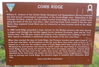
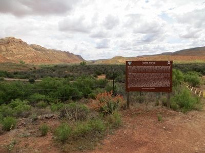
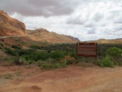
In 1880 Comb Ridge presented a major obstacle for the Mormon pioneers who were blazing a wagon road through the terribly rugged terrain between Escalante, Utah and the Four Corners Area. The 250 men, women and children of the expedition were fulfilling a “call” from their church to establish a settlement along the banks of the San Juan River.
When they reached the base of Comb Ridge, the Pioneers traveled south down Comb Wash to the San Juan River. At the juncture of the San Juan River (four miles south of here) they labored on a road over the southern slope of Comb Ridge which they named San Juan Hill. Weakened by past barriers and nearly six month under the most trying of circumstances, Comb Ridge proved nearly too much for their worn out wagons and teams. Charles Redd recorded, “By the time most of the outfits were across, the worst stretches could easily be identified by the dried blood and matted hair from the forelegs of the struggling teams.” Within days of crossing over Comb Ridge, the pioneers began to establish their settlement, Bluff City.
Erected by Hole-in-the-rock Association.
Topics. This historical marker is listed in these topic lists: Exploration • Settlements & Settlers. A significant historical year for this entry is 1880.
Location. 37° 15.972′ N, 109° 40.466′ W. Marker is near Bluff, Utah, in San Juan County. Marker is on U.S. 163 at milepost 38.3, on the right when traveling east. Touch for map. Marker is in this post office area: Bluff UT 84512, United States of America. Touch for directions.
Other nearby markers. At least 8 other markers are within 7 miles of this marker, measured as the crow flies. Hobbs Wash (approx. 0.9 miles away); Amasa Barton's Blacksmith Shop (approx. 6.8 miles away); Site of Kumen Jones Home (approx. 6.8 miles away); The Barton's Well (approx. 6.8 miles away); Kumen Jones Home (approx. 6.8 miles away); Parley R. & Ency Camilla (Bayles) Butt (approx. 6.8 miles away); Replica of the Bluff Meetinghouse (approx. 6.8 miles away); Josephine Catherine Chatterley Wood (approx. 6.8 miles away). Touch for a list and map of all markers in Bluff.
Credits. This page was last revised on June 16, 2016. It was originally submitted on June 4, 2016, by Bill Kirchner of Tucson, Arizona. This page has been viewed 589 times since then and 39 times this year. Photos: 1, 2, 3. submitted on June 4, 2016, by Bill Kirchner of Tucson, Arizona.


