Arnold in Calaveras County, California — The American West (Pacific Coastal)
Discovery and Exploitation
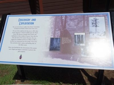
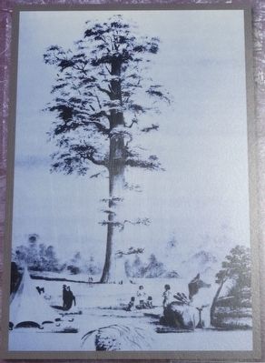
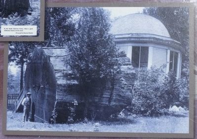
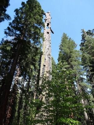
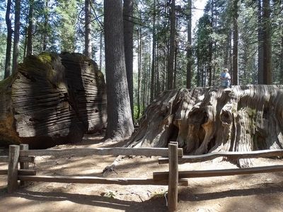
The rest of the world met the big trees in 1852 when hunter Augustus T. Dowd stumbled upon the North Grove. His discovery brought both acclaim and exploitation to these wonders of nature. Soon after his find, the bark of the massive Discovery Tree was stripped for exhibition and the tree felled. In 1856, a pavilion was constructed over the stump. A few years later, promoters built a saloon and bowling alley on the fallen trunk.
Many were horrified by the mistreatment of the ancient trees. People soon began a movement to preserve the giant sequoias.
Erected 2008 by California State Parks.
Topics. This historical marker is listed in this topic list: Horticulture & Forestry. A significant historical year for this entry is 2008.
Location. 38° 16.726′ N, 120° 18.465′ W. Marker is in Arnold, California, in Calaveras County. Marker is on Big Tree Parkway, on the left when traveling east. Located in front of the Visitor Center in Calaveras Big Trees State Park, 1170 East Highway 4, Arnold CA 95223. Touch for map. Marker is at or near this postal address: Big Tree Parkway, Arnold CA 95223, United States of America. Touch for directions.
Other nearby markers. At least 8 other markers are within 6 miles of this marker, measured as the crow flies. California Big Trees State Park (about 500 feet away, measured in a direct line); Hanging On By A Branch (approx. ¼ mile away); White Pines History (approx. 1.9 miles away); Doc S.C. Linebaugh Park (approx. 2.1 miles away); Dorrington Hotel (approx. 2.3 miles away); Board's Crossing (approx. 4.4 miles away); Sourgrass Bridge (approx. 5.7 miles away); Avery Hotel (approx. 6.1 miles away). Touch for a list and map of all markers in Arnold.
Credits. This page was last revised on June 16, 2016. It was originally submitted on June 14, 2016, by Denise Boose of Tehachapi, California. This page has been viewed 405 times since then and 24 times this year. Photos: 1, 2, 3, 4, 5, 6. submitted on June 14, 2016, by Denise Boose of Tehachapi, California. • Syd Whittle was the editor who published this page.
