Brownsville in Cameron County, Texas — The American South (West South Central)
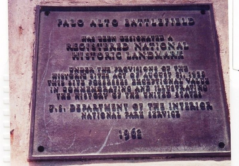
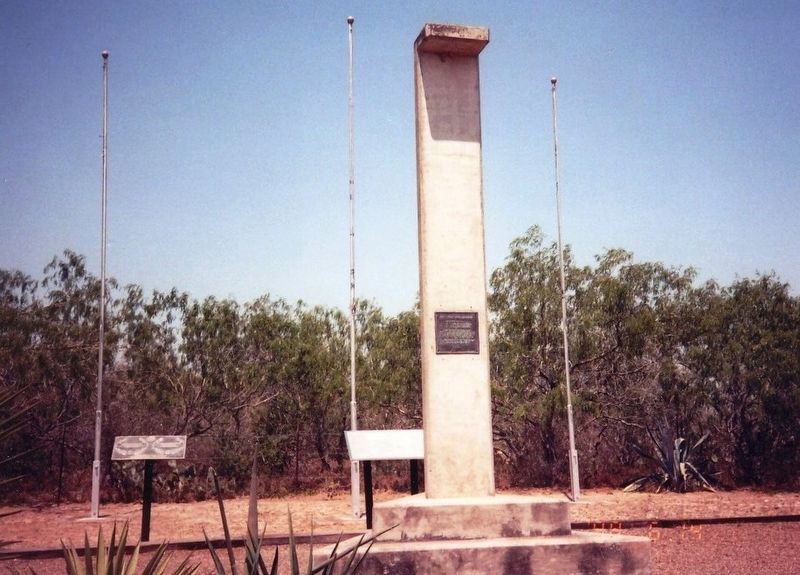
Palo Alto Battlefield
Erected 1962 by U.S. Department of the Interior National Park Service.
Topics and series. This historical marker is listed in this topic list: War, Mexican-American. In addition, it is included in the National Historic Landmarks series list.
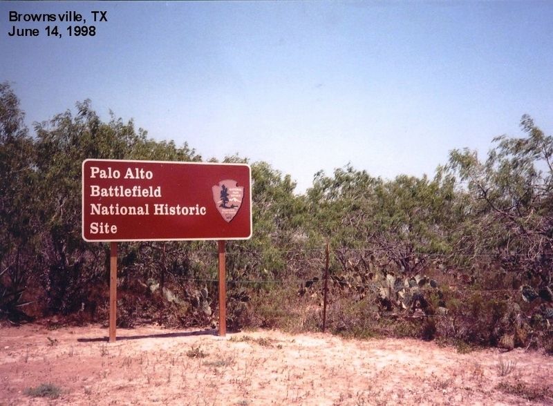
Location. 26° 1.022′ N, 97° 28.75′ W. Marker is in Brownsville, Texas, in Cameron County. Marker is on Paredes Line Road (CR 1847). This marker is on the grounds of the Palo Alto Battlefield National Historic Site. Touch for map. Marker is in this post office area: Brownsville TX 78526, United States of America. Touch for directions.
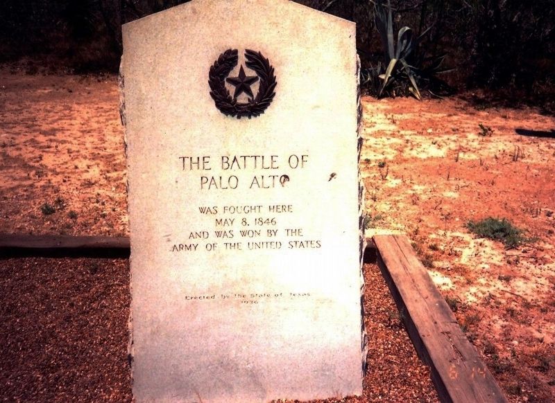
Other nearby markers. At least 8 other markers are within 4 miles of this marker, measured as the crow flies. A different marker also named Palo Alto Battlefield (approx. 0.2 miles away); The Battle of Palo Alto (approx. 0.2 miles away); Historic Battlefield Trail (approx. 0.2 miles away); Border War / Guerra de fronteras (approx. 0.3 miles away); Chosen Ground / Arena decidida (approx. 0.4 miles away); Cavalry Charge / Se lanzaba la caballería (approx. half a mile away); Three Hundred Supply Wagons / Trescientas carretas de viveres (approx. 0.7 miles away); "Rancho Viejo" (approx. 3.4 miles away). Touch for a list and map of all markers in Brownsville.
Credits. This page was last revised on July 21, 2016. It was originally submitted on July 10, 2016, by Don Morfe of Baltimore, Maryland. This page has been viewed 575 times since then and 27 times this year. Photos: 1, 2, 3, 4. submitted on July 10, 2016, by Don Morfe of Baltimore, Maryland. • Bill Pfingsten was the editor who published this page.


