St. Leonard in Calvert County, Maryland — The American Northeast (Mid-Atlantic)
June 1814 — War Visits the Patuxent
| — | Battle At The Mouth of St. Leonard Creek | — |
Photographed by Allen C. Browne, May 15, 2016
1. June 1814 — War Visits the Patuxent Marker
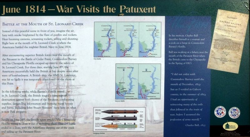
Instead of this peaceful scene in front of you, imagine the air. hazy with smoke brightened by the flare of gunfire and rockets. Hear booming cannons, screaming rockets, yelling and shouting. Right here at the mouth of St. Leonard Creek is' where the Americans battled the mightier British Navy in June 1814.
After encountering superior British forces near the mouth of the Patuxent in the Battle of Cedar Point Commodore Barney and his Chesapeake Flotilla escaped up river to the safety of St. Leonard Creek. For three days, starting June 8th, the Americans successfully held the British at bay despite wave after wave of bombardment. A British ship, the HMS St. Lawrence, was hit so badly it was temporarily abandoned on the shore at this point.
In the following weeks, while Barney's Flotilla stayed in St. Leonard Creek, the British waged a campaign of destruction against both shores of the Patuxent, confiscating supplies, demanding information and burning many houses and barns, including John Stuart Skinners' barn here on what is now Park property.
Finally on Jun 26th the British again attacked the Chesapeake Flotilla,
this page online
Topics. This historical marker is listed in these topic lists: War of 1812 • Waterways & Vessels. A significant historical month for this entry is June 1814.
Location. 38° 23.381′ N, 76° 30.444′ W. Marker is in St. Leonard, Maryland, in Calvert County. It can be reached from Mackall Road. on Peterson's Point in Jefferson Patterson Park and Museum. Touch for map. Marker is in this post office area: Saint Leonard MD 20685, United States of America. Touch for directions.

Regionally, this marker is in Southern Maryland. It is also in the American South, specifically in the Upper South, in the Mid-Atlantic, in the Tidewater, in the Chesapeake Bay Region, and on the Eastern Seaboard. Globally, it is in the North Atlantic Region, North America, the Western Hemisphere, the Western World, and the Anglosphere. Historically, it finds itself in what was once one of the original Thirteen Colonies and also the Antebellum South.
Other nearby markers. At least 8 other markers are within
Photographed by Allen C. Browne, May 15, 2016
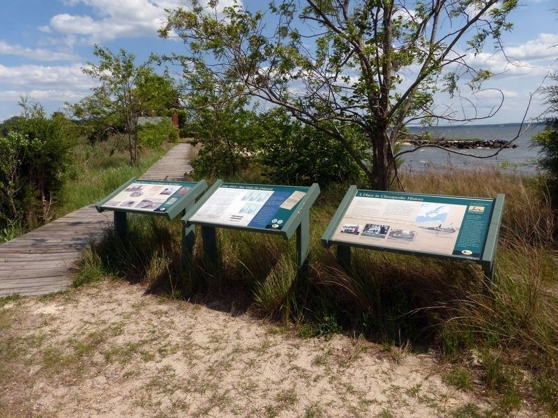
2. 3 Markers on Peterson's Point
Credits. This page was last revised on April 17, 2026. It was originally submitted on July 15, 2016, by Allen C. Browne of Silver Spring, Maryland. This page has been viewed 877 times since then and 44 times this year. Photos: 1, 2. submitted on July 15, 2016, by Allen C. Browne of Silver Spring, Maryland. • Bill Pfingsten was the editor who published this page.
