Gloster in Amite County, Mississippi — The American South (East South Central)
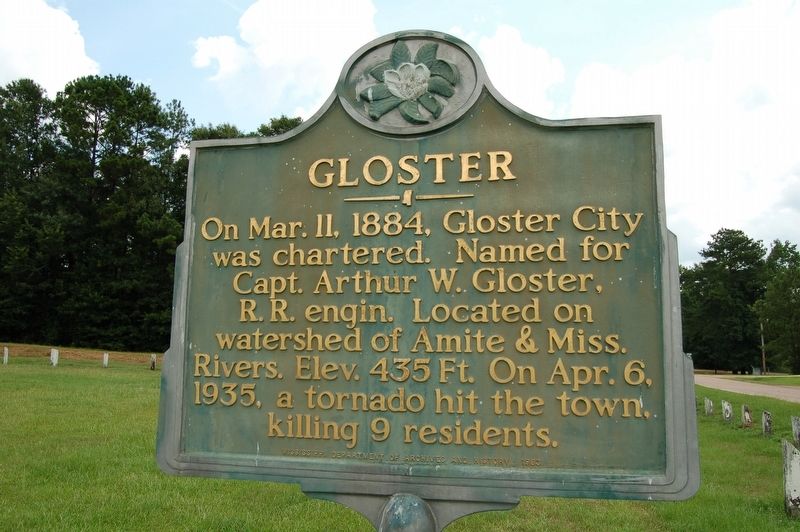
Gloster
Erected 1983 by Mississippi Department of Archives and History.
Topics and series. This historical marker is listed in these topic lists: Disasters • Railroads & Streetcars • Settlements & Settlers. In addition, it is included in the Mississippi State Historical Marker Program series list. A significant historical date for this entry is March 11, 1884.
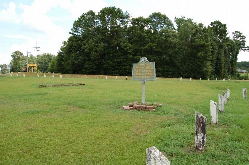
Location. 31° 12′ N, 91° 0.6′ W. Marker is in Gloster, Mississippi, in Amite County. Marker is at the intersection of Captain Gloster Drive (State Highway 24) and State Highway 33, on the left when traveling east on Captain Gloster Drive. Located in intersection "median" area. Touch for map. Marker is at or near this postal address: 434 Captain Gloster Dr, Gloster MS 39638, United States of America. Touch for directions.
Other nearby markers. At least 8 other markers are within 13 miles of this marker, measured as the crow flies. Crosby (approx. 6.6 miles away); Bethany Presbyterian Church (approx. 6.9 miles away); Centreville (approx. 7˝ miles away); Anne Moody (approx. 8.3 miles away); Camp Van Dorn (approx. 9.3 miles away); Midway Methodist Church (approx. 9.6 miles away); Liberty Missionary Baptist Church (approx. 11.9 miles away); Liberty (approx. 12.1 miles away).
Credits. This page was last revised on July 4, 2022. It was originally submitted on July 22, 2016. This page has been viewed 717 times since then and 72 times this year. Photos: 1, 2. submitted on July 22, 2016. • Bernard Fisher was the editor who published this page.

