New Harmony in Posey County, Indiana — The American Midwest (Great Lakes)
New Harmony, Indiana (1814-1827)
has designated
New Harmony, Indiana (1814-1827)
as a
National Planning Landmark
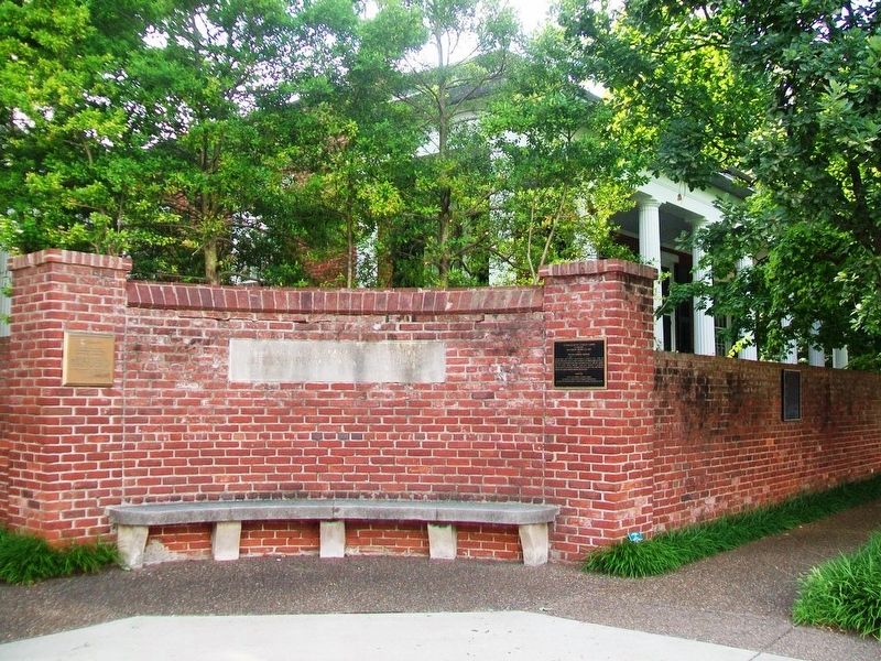
George Rapp's New Harmony was surveyed on August 8, 1814. Within ten years, the Harmonists created a center of commerce and religious communal living on the frontier. Social theorist Robert Owen purchased the Town in 1825 and, together with his partner William Maclure, made New Harmony a pioneering American secular communitarian settlement and the model for nine other American Owenite communities established between 1825 and 1843.
Erected 1999 by American Institute of Certified Planners, Society for American City and Regional Planning History, and Indiana Planning Association.
Topics and series. This historical marker is listed in this topic list: Landmarks. In addition, it is included in the Communal and Utopian Societies series list. A significant historical date for this entry is August 8, 1814.
Location. 38° 7.795′ N, 87° 56.109′ W. Marker is in New Harmony, Indiana, in Posey County. Marker is at the intersection of Church Street (State Road 66) and Main Street, on the right when traveling west on Church Street. Touch for map. Marker is in this post office area: New Harmony IN 47631, United States of America. Touch for directions.
Other nearby markers. At least 8 other markers are within walking distance of this marker. A different marker also named New Harmony (here, next to this marker); David Dale Owen (here, next to this marker); Rappite Community House No. 2 (within shouting distance of this marker); a different marker also named New Harmony (about 300 feet away, measured in a direct line); New Harmony Area Veterans Memorial (about 400 feet away); New Harmony Workingmen's Institute (about 400 feet away); In Perfect Harmony (approx. 0.2 miles away); Maclure Park Bandstand (approx. ¼ mile away). Touch for a list and map of all markers in New Harmony.
Also see . . .
1. Historic New Harmony, Indiana. University of Southern Indiana Website entry (Submitted on July 26, 2016, by William Fischer, Jr. of Scranton, Pennsylvania.)
2. New Harmony Historic Site. Indiana State Museum and Historic Sites entry (Submitted on July 26, 2016, by William Fischer, Jr. of Scranton, Pennsylvania.)
Credits. This page was last revised on March 30, 2021. It was originally submitted on July 26, 2016, by William Fischer, Jr. of Scranton, Pennsylvania. This page has been viewed 402 times since then and 22 times this year. Photos: 1, 2. submitted on July 26, 2016, by William Fischer, Jr. of Scranton, Pennsylvania.

