Fort Bragg in Mendocino County, California — The American West (Pacific Coastal)
Dynamite Shack
Inscription.
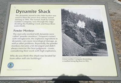
The dynamite stored in this little bunker was used to blast the area's first railway tunnel starting in 1892. The tunnel, built by Union Lumber Company, runs through the ridge dividing the Pudding Creek and Noyo River Watersheds.
Powder Monkeys
The men who worked with dynamite were called "powder monkeys." Frequent contact with nitroglycerin, the explosive ingredient in dynamite, can cause neurological damage, as well as other problems. Reportedly, the powder monkeys became a bit deranged and didn't always exercise the best judgement - ironic considering their work with high explosives.
Why do you think this shack was located far fro other site buildings.?
Erected by City of Fort Bragg.
Topics. This historical marker is listed in these topic lists: Industry & Commerce • Railroads & Streetcars.
Location. 39° 26.845′ N, 123° 48.862′ W. Marker is in Fort Bragg, California, in Mendocino County. Marker can be reached from West Elm Street near Glass Beach Drive. Touch for map. Marker is at or near this postal address: 398 West Elm Street, Fort Bragg CA 95437, United States of America. Touch for directions.
Other nearby markers. At least 8 other markers are within walking distance of this marker. Our Past Through Our Trash (approx. ¼ mile away); Whirring Saws Silenced: A Pictorial History of the Mill Site (approx. ¼ mile away); Surrounded By Trees (approx. 0.4 miles away); The Weller House (approx. 0.4 miles away); Major William F. Mullen Freedom Tree (approx. 0.4 miles away); Charles Russell Johnson (approx. half a mile away); Fort Bragg (approx. half a mile away); First Baptist Church Bell (approx. half a mile away). Touch for a list and map of all markers in Fort Bragg.
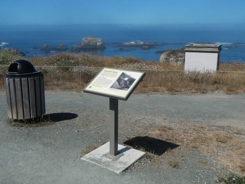
More about this marker. This marker is found on the Glass Beach (Bluffs) Trail at Noyo Headlands Park in Fort Bragg.
Credits. This page was last revised on August 7, 2016. It was originally submitted on August 7, 2016, by Barry Swackhamer of Brentwood, California. This page has been viewed 714 times since then and 33 times this year. Photos: 1, 2. submitted on August 7, 2016, by Barry Swackhamer of Brentwood, California.

