
West Palm Beach in Palm Beach County, Florida — The American South (South Atlantic)
Palm Beach Junior College
Photographed by Tim Fillmon, August 3, 2016
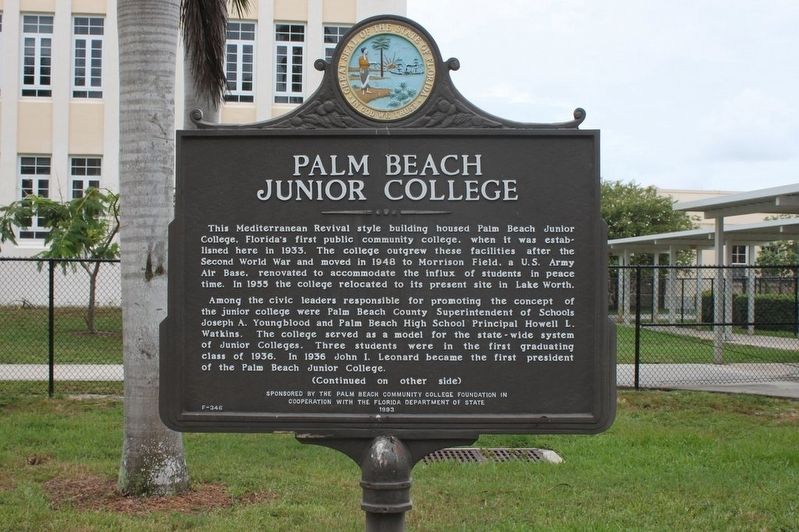
1. Palm Beach Junior College Marker
This Mediterranean Revival style building housed Palm Beach Junior College, Florida’s first public community college, when it was established here in 1933. The college outgrew these facilities after the Second World War and moved in 1948 to Morrison Field, a U.S. Army Air Base, renovated to accommodate the influx of students in peace time. In 1955 the college relocated to its present site in Lake Worth.
Among the civic leaders responsible for promoting the concept of the junior college were Palm Beach County Superintendent of Schools Joseph A. Youngblood and Palm Beach High School Principal Howell L. Watkins. The college served as a model for the state-wide system of Junior Colleges. Three students were in the first graduating class of 1936. In 1936 John I. Leonard became the first president of the Palm Beach Junior College.
this page online
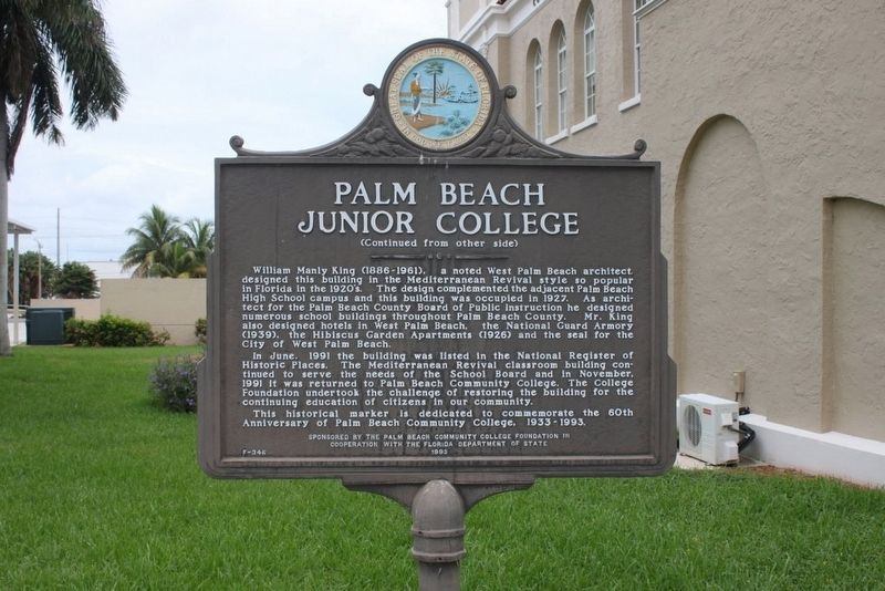
In June 1991 the building was listed in the National Register of Historic Places. The Mediterranean Revival classroom building continued to serve the needs of the School Board and in November 1991 it was returned to Palm Beach Community College. The College Foundation undertook the challenge of restoring the building for the continuing education of citizens in our community. This historical marker is dedicated to commemorate the 60th Anniversary of Palm Beach Community College, 1933-1993.
Erected 1993 by The Palm Beach Community College Foundation in Cooperation with the Florida Department of State. (Marker Number F-346.)
Topics. This historical marker is listed in this topic list: Education. A significant historical year for this entry is 1933.
Location. 26° 42.582′ N, 80° 3.621′ W. Marker
Photographed by Tim Fillmon, August 3, 2016
2. Palm Beach Junior College Marker reverse

Regionally, this marker is in South Florida, on the Gold Coast, on the Treasure Coast, and in Greater Miami. It is also in the American South and on the Eastern Seaboard. Globally, it is in the North Atlantic Region, North America, a Gulf of Mexico state, the Western Hemisphere, the Western World, and the Anglosphere. Historically, it finds itself in what was once New Spain, the territory of the Mississippian Culture, one of the Confederate States of America, and the Antebellum South.
Other nearby markers. At least 8 other markers are within walking distance of this marker: Palm Beach High School (about 600 feet away, measured in a direct line); Seaboard Air Line Station (approx. 0.2 miles away); 1916 Palm Beach County Courthouse (approx. 0.6 miles away); Old St. Ann's Church
Photographed by Tim Fillmon, August 3, 2016
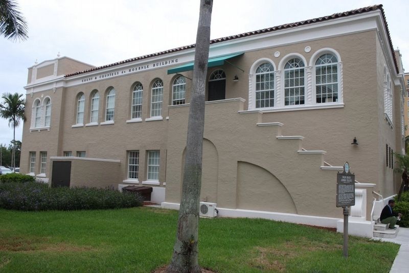
3. Palm Beach Junior College Marker and school building
Another marker is no longer nearby. Clematis Street Commercial Historic District (was approx. 0.4 miles away but has been confirmed missing).
Related marker. Click here for another marker that is related to this marker.
Credits. This page was last revised on March 5, 2018. It was originally submitted on August 11, 2016, by Tim Fillmon of Webster, Florida. This page has been viewed 943 times since then and 136 times this year. Photos: 1, 2, 3. submitted on August 11, 2016, by Tim Fillmon of Webster, Florida. • Bernard Fisher was the editor who published this page.
