New Albany in Union County, Mississippi — The American South (East South Central)
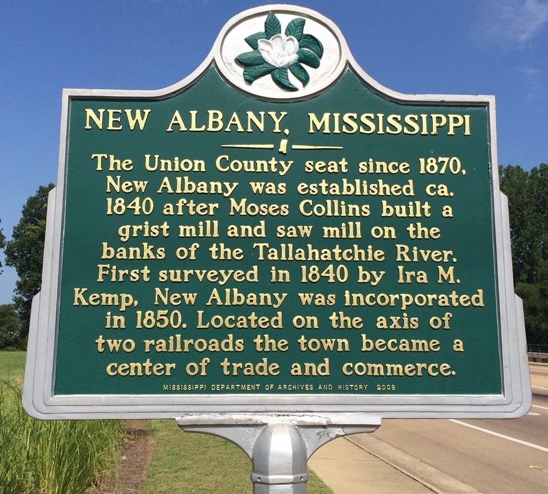
New Albany, Mississippi
Erected 2008 by Mississippi Department of Archives and History.
Topics and series. This historical marker is listed in these topic lists: Industry & Commerce • Railroads & Streetcars • Settlements & Settlers. In addition, it is included in the Mississippi State Historical Marker Program series list. A significant historical year for this entry is 1870.
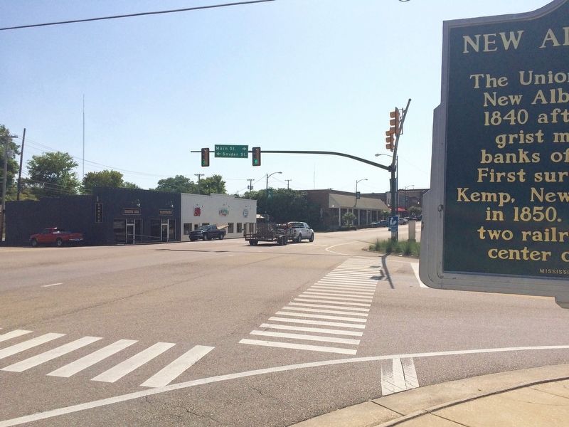
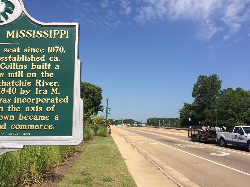
Location. 34° 29.689′ N, 89° 0.673′ W. Marker is in New Albany, Mississippi, in Union County. Marker is at the intersection of West Bankhead Street (State Highway 178) and West Main Street, on the right when traveling east on West Bankhead Street. Located just east of the bridge over the Little Tallahatchie River in the area of the Biscuits and Jam Farmers' Market. Touch for map. Marker is at or near this postal address: West Bankhead Street, New Albany MS 38652, United States of America. Touch for directions.
Other nearby markers. At least 8 other markers are within 3 miles of this marker, measured as the crow flies. Union County, Mississippi (approx. ¼ mile away); Mosley and Johnson (approx. 0.3 miles away); William Faulkner (approx. 0.4 miles away); B.F. Ford School (approx. 0.7 miles away); Elder Roma Wilson & Rev. Leon Pinson (approx. 0.8 miles away); Glenfield Baptist Church (approx. 2 miles away); Stratford Company (approx. 2.4 miles away); Ishtehotopah (approx. 3 miles away). Touch for a list and map of all markers in New Albany.
Also see . . . Wikipedia article on City of New Albany. (Submitted on August 12, 2016, by Mark Hilton of Montgomery, Alabama.)
Credits. This page was last revised on August 12, 2016. It was originally submitted on August 12, 2016, by Mark Hilton of Montgomery, Alabama. This page has been viewed 449 times since then and 50 times this year. Photos: 1, 2, 3. submitted on August 12, 2016, by Mark Hilton of Montgomery, Alabama.


