Whitesburg in Letcher County, Kentucky — The American South (East South Central)
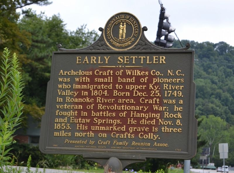
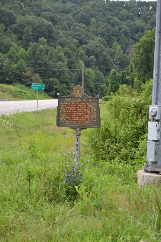
Early Settler
Erected 1981 by Kentucky Historical Society, Kentucky Department of Transportation. (Marker Number 1700.)
Topics and series. This historical marker is listed in these topic lists: Settlements & Settlers • War, US Revolutionary. In addition, it is included in the Kentucky Historical Society series list. A significant historical date for this entry is December 25, 1749.
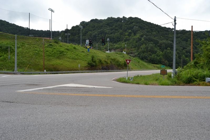
Location. 37° 7.206′ N, 82° 47.557′ W. Marker is in Whitesburg, Kentucky, in Letcher County. Marker is at the intersection of U.S. 119 and Jenkins Road, on the right when traveling south on U.S. 119. Touch for map. Marker is in this post office area: Whitesburg KY 41858, United States of America. Touch for directions.
Other nearby markers. At least 8 other markers are within 6 miles of this marker, measured as the crow flies. Letcher County Honor Roll (approx. 1.9 miles away); Pilot -- Spy -- Hero / Francis Gary Powers (approx. 1.9 miles away); James Still (approx. 3.2 miles away); Harriette Simpson Arnow (approx. 3.2 miles away); John Fox, Jr. (approx. 3.2 miles away); Harry Monroe Caudill (approx. 3.2 miles away); Scotia Mine Disaster (approx. 5.4 miles away); Kingdom Come (approx. 5˝ miles away). Touch for a list and map of all markers in Whitesburg.
Credits. This page was last revised on August 23, 2016. It was originally submitted on August 23, 2016, by Duane Hall of Abilene, Texas. This page has been viewed 538 times since then and 46 times this year. Photos: 1, 2, 3. submitted on August 23, 2016, by Duane Hall of Abilene, Texas.


