Hermanville in Claiborne County, Mississippi — The American South (East South Central)
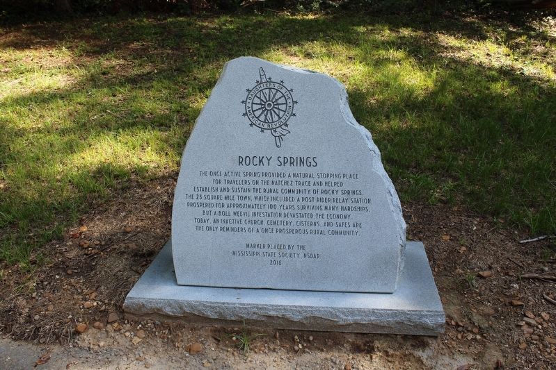
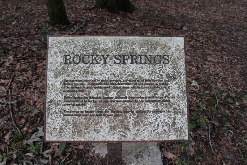
Rocky Springs
Erected 2016 by Mississippi State Society, NSDAR.
Topics. This historical marker is listed in this topic list: Settlements & Settlers.
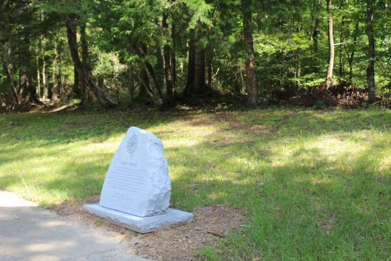
Location. 32° 5.333′ N, 90° 48.517′ W. Marker is in Hermanville, Mississippi, in Claiborne County. Marker can be reached from Unamed Road, 0.7 miles west of Natchez Trace Parkway, on the right when traveling west. This marker can be accessed from the Natchez Trace Parkway at the Rocky Springs exit at mile marker 54.8. Touch for map. Marker is in this post office area: Hermanville MS 39086, United States of America. Touch for directions.
Other nearby markers. At least 8 other markers are within 6 miles of this marker, measured as the crow flies. The Old Natchez Trace (within shouting distance of this marker); The Town of Rocky Springs (approx. ¼ mile away); Federals Occupy Rocky Springs (approx. 0.3 miles away); To The Railroad (approx. 1.2 miles away); Owens Creek (approx. 2.2 miles away); Concentration of Troops (approx. 2.7 miles away); Historic Crossroads (approx. 5.1 miles away); Grant at Hankinson's Ferry (approx. 5.9 miles away). Touch for a list and map of all markers in Hermanville.
Photographed By Tom Bosse, July 30, 2016
2. Old Rocky Springs Marker
Springs were important to early travelers, providing relief from the dust and heat of the trail. Settlement was often determined by the location of dependable springs. A good spring saved the expense and hard work of digging a producing well.
Rocky Spring got its name because it flowed from under a rock ledge. The name evolved to Rocky Springs and was adopted by the community which grew up nearby.
The spring no longer flows., but the site may be reached by taking a 15 minute walk down the trail to your right.
Credits. This page was last revised on August 29, 2016. It was originally submitted on August 28, 2016, by Tom Bosse of Jefferson City, Tennessee. This page has been viewed 376 times since then and 11 times this year. Photos: 1, 2, 3, 4, 5. submitted on August 28, 2016, by Tom Bosse of Jefferson City, Tennessee. • Bernard Fisher was the editor who published this page.
