A Valiant Stand
Star-Spangled Banner National Historic Trail
— National Park Service, U.S. Department of the Interior —
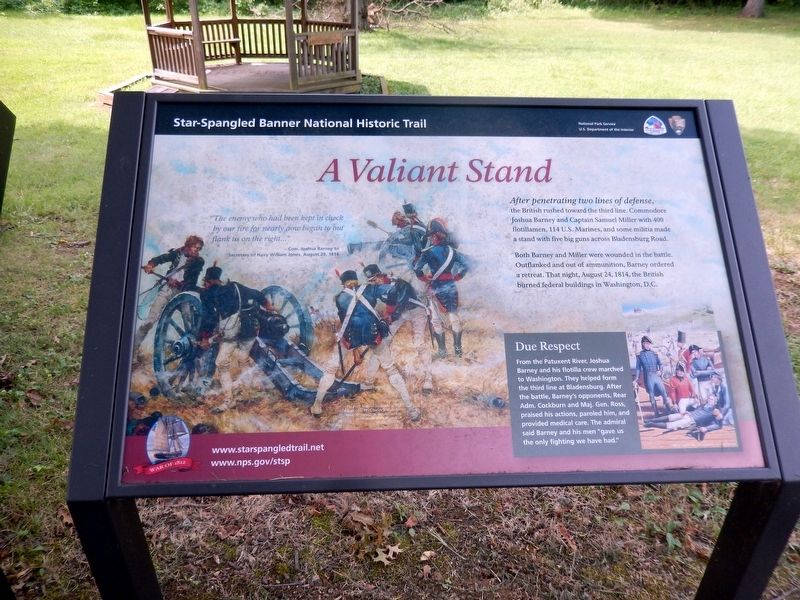
After penetrating two lines of defense, the British rushed toward the third line. Commodore Joshua Barney and Captain Samuel Miller with 400 flotillamen, 114 U.S. Marines, and some militia made a stand with five big guns across Bladensburg Road.
Both Barney and Miller were wounded in the battle. Outflanked and out of ammunition, Barney ordered a retreat. That night, August 24, 1814, the British burned federal buildings in Washington, D.C.
Due Respect
From the Patuxent River, Joshua Barney and his flotilla crew marched to Washington. They helped from the third line at Bladensburg. After the battle, Barney’s opponents, Rear Adm. Cockburn and Maj. Gen. Ross, praised his actions, paroled him, and provided medical care. The admiral said Barney and his men “gave us the only fighting we have had.”
“The enemy who had been kept in check by our fire for nearly aow began to out flank us on the right…”
–Com. Joshua Barney to Secretary of Navy William Jones, August 29, 1814.
Erected 2014 by National Park Service, U.S. Department of the Interior.
Topics and series. This historical marker is listed in this topic list: War of 1812. In addition, it is included in the Star Spangled Banner National Historic Trail
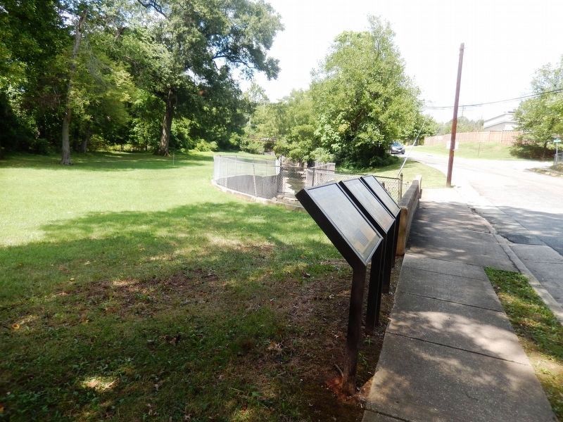
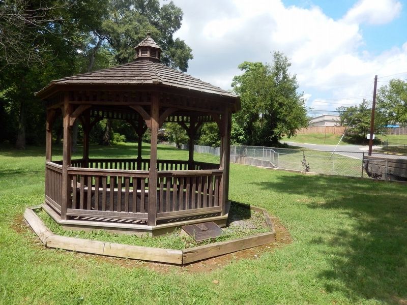
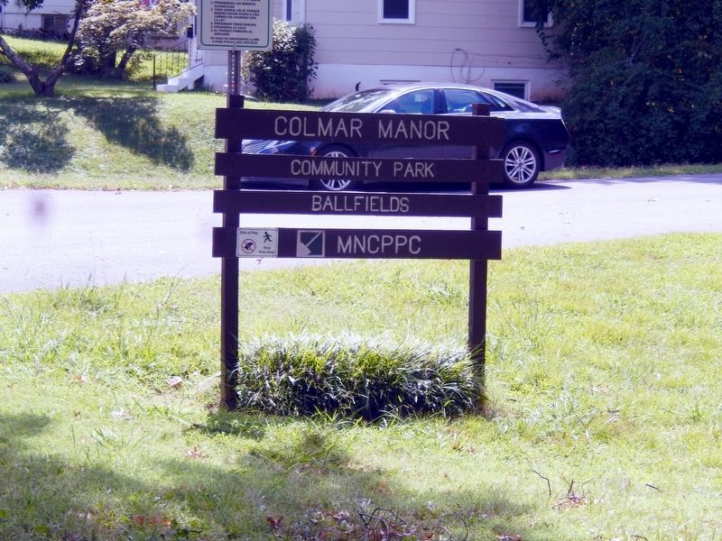
Location. 38° 55.991′ N, 76° 57.096′ W. Marker is in Colmar Manor, Maryland, in Prince George's County. Marker is on 37th Avenue. The marker is at the entrance to Colmar Manor Fields near Dueling Creek. Touch for map. Marker is in this post office area: Brentwood MD 20722, United States of America. Touch for directions.
Other nearby markers. At least 8 other markers are within walking distance of this marker. The Road to the Capitol (here, next to this marker); Marines & Flotillamen (a few steps from this marker); Dueling Grounds (about 400 feet away, measured in a direct line); The Road to the Capital (about 400 feet away); Bladensburg Dueling Grounds (about 400 feet away); a different marker also named Dueling Grounds (about 400 feet away); Historic Fort Lincoln Cemetery (approx. 0.2 miles away); Second Line Falls (approx. 0.2 miles away). Touch for a list and map of all markers in Colmar Manor.
Credits. This page was last revised on June 12, 2020. It was originally submitted on September 2, 2016, by Don Morfe of Baltimore, Maryland. This page has been viewed 385 times since then and 11 times this year. Photos: 1, 2, 3, 4. submitted on September 2, 2016, by Don Morfe of Baltimore, Maryland. • Bill Pfingsten was the editor who published this page.


