Black Mountain in Buncombe County, North Carolina — The American South (South Atlantic)
Geodesic Domes
Photographed by Michael C. Wilcox, September 5, 2016
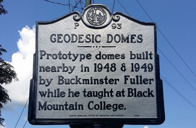
1. Geodesic Domes Marker
Prototype domes built nearby in 1948 & 1949 by Buckminster Fuller while he taught at Black Mountain College.
Erected 2015 by North Carolina Office of Archives and History. (Marker Number P-93.)
Topics and series. This historical marker is listed in these topic lists: Architecture • Arts, Letters, Music • Education. In addition, it is included in the North Carolina Division of Archives and History series list. A significant historical year for this entry is 1948.
Location. 35° 36.795′ N, 82° 19.699′ W. Marker is in Black Mountain, North Carolina, in Buncombe County. It is on West State Street (U.S. 70) 0.1 miles west of Cragmont Road, on the right when traveling west. Touch for map. Marker is at or near this postal address: 502 W State St, Black Mountain NC 28711, United States of America. Touch for directions.

Regionally, this marker is in the Mountains and in Greater Asheville. It is also in the American South, specifically in the Upper South, in Appalachia, and specifically in Southern Appalachia. Globally, it is in North America, the Western Hemisphere, the Western World, and the Anglosphere.
this page online
Other nearby markers. At least 8 other markers are within walking distance of this marker: Black Mountain College (approx. 0.3 miles away); André Michaux (approx. 0.4 miles away); Multigenerational Mountain Musicians (approx. 0.4 miles away); Granulitic Gneiss (approx. 0.4 miles away); Migmatitic Gneiss (approx. 0.4 miles away); Geologic Time (approx. 0.4 miles away); Amphibolite (approx. 0.4 miles away); Mylonitic Gneiss (approx. 0.4 miles away). Touch for a list and map of all markers in Black Mountain.
Also see . . .
1. Geodesic Dome. Wikipedia entry (Submitted on March 22, 2022, by Larry Gertner of New York, New York.)
2. Buckminster Fuller. Wikipedia entry (Submitted on March 22, 2022, by Larry Gertner of New York, New York.)
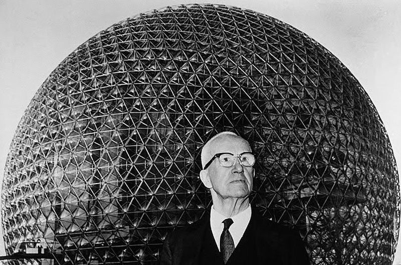
via Open Culture, 1967?
2. Bucjminster Fuller and the geodesic dome at Expo '67 Montreal
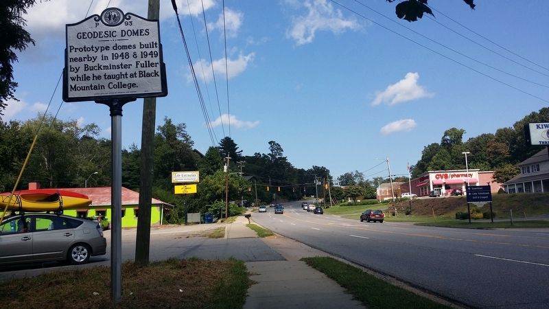
Photographed by Michael C. Wilcox, September 5, 2016
3. Geodesic Domes Marker (facing east)
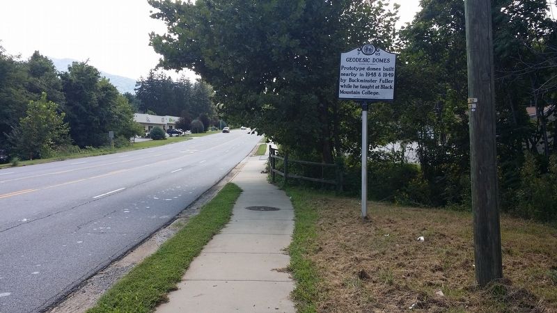
Photographed by Michael C. Wilcox, September 5, 2016
4. Geodesic Domes Marker (facing west)
Credits. This page was last revised on March 22, 2022. It was originally submitted on September 6, 2016, by Michael C. Wilcox of Winston-Salem, North Carolina. This page has been viewed 810 times since then and 39 times this year. Photos: 1. submitted on September 6, 2016, by Michael C. Wilcox of Winston-Salem, North Carolina. 2. submitted on March 22, 2022, by Larry Gertner of New York, New York. 3, 4. submitted on September 6, 2016, by Michael C. Wilcox of Winston-Salem, North Carolina. • Bernard Fisher was the editor who published this page.
