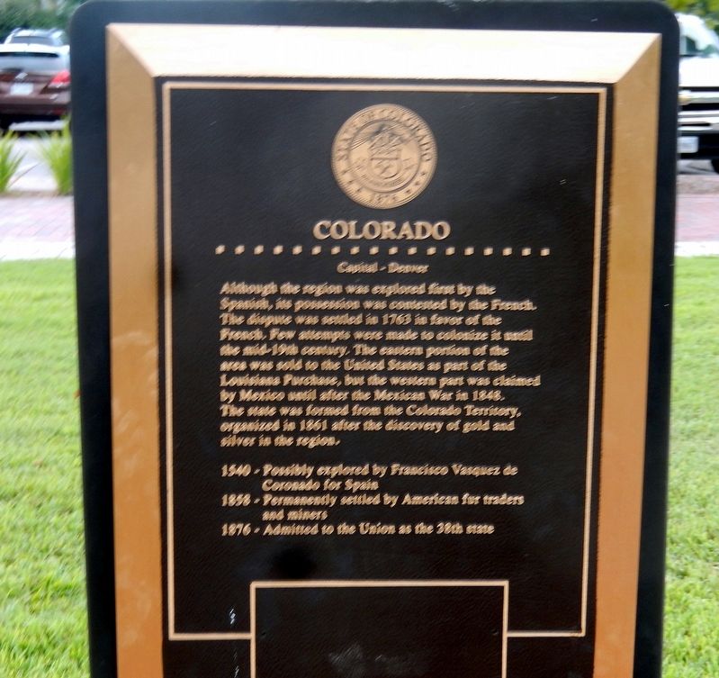
Colorado
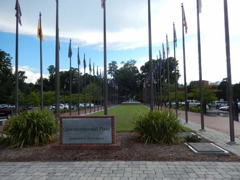
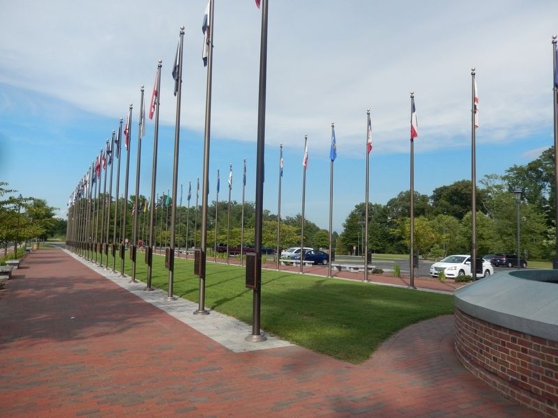
Quadricentennial Plaza
— Jamestown Settlement —
Although the region was explored first by the Spanish, this possession was controlled by the French. The dispute was settled in 1763 in favor of the French. Few attempts were made to colonize it until the mid-19th century. The eastern portion of the area was sold to the United States as part of the Louisiana Purchase, but the western part was claimed by Mexico until after the Mexican War in 1848. The state was formed from the Colorado Territory, organized in 1861 after the discovery of gold and silver in the region.
1549-Possibly explored by Francisco Vasquez de Coronado for Spain
1858-Permanently settled by Americans for traders and miners
1876-Admitted to the Union as the 38th state.
Topics. This historical marker is listed in these topic lists: Exploration • Settlements & Settlers. A significant historical year for this entry is 1763.
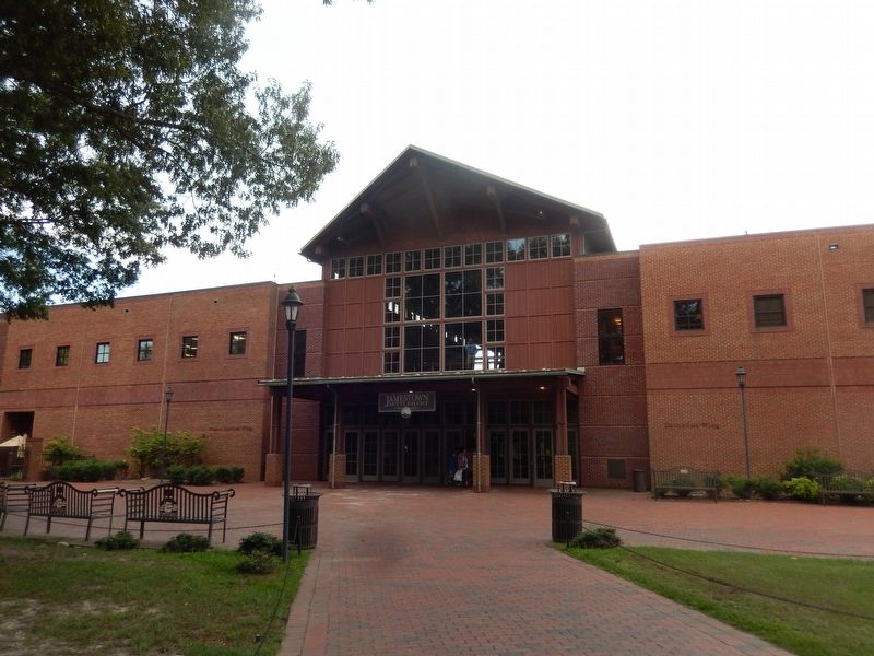
Location. 37° 13.559′ N, 76° 46.971′ W. Marker is in Jamestown, Virginia, in James City County. Marker is on Jamestown Road. The marker is located near the Jamestown Settlement Visitor Center. Touch for map. Marker is at or near this postal address: 2110 Jamestown Road, Williamsburg VA 23185, United States of America. Touch for directions.
Other nearby markers. At least 8 other markers are within walking distance of this marker. Nebraska (here, next to this marker); North Dakota (here, next to this marker); South Dakota
Credits. This page was last revised on September 9, 2016. It was originally submitted on September 8, 2016, by Don Morfe of Baltimore, Maryland. This page has been viewed 269 times since then and 14 times this year. Photos: 1, 2, 3, 4. submitted on September 8, 2016, by Don Morfe of Baltimore, Maryland. • Bill Pfingsten was the editor who published this page.


