Thermopolis in Hot Springs County, Wyoming — The American West (Mountains)
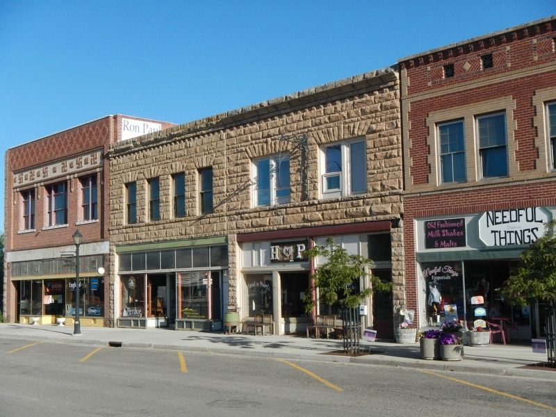
Thermopolis Downtown Historic District
Wyoming Place No. 196
Topics. This historical marker is listed in this topic list: Settlements & Settlers.
Location. 43° 38.772′ N, 108° 12.666′ W. Marker is in Thermopolis, Wyoming, in Hot Springs County. Marker is on Broadway Street near North 6th Street, in the median. Touch for map. Marker is at or near this postal address: 527 Broadway Street, Thermopolis WY 82443, United States of America. Touch for directions.
Other nearby markers. At least 8 other markers are within walking distance of this marker. Broad Streets of Thermopiles (about 600 feet away, measured in a direct line); The Plaza Hotel (approx. 0.6 miles away); Bah Guewana (approx. 0.6 miles away); Tepee Fountain (approx. 0.7 miles away); Walter Manly Haynes (approx. 0.7 miles away); Some Like It Hot! (approx. 0.9 miles away); Ancient Red Rocks (approx. 0.9 miles away); World's Largest Mineral Hot Springs (approx. 0.9 miles away). Touch for a list and map of all markers in Thermopolis.
Also see . . . Hot Springs County, Wyoming - WyoHistory. Thermopolis began in the 1880s near the mouth of Owl Creek, just outside the reservation boundaries of the time and downstream from the town's present-day site. It provided better quarters for visitors than the pole-and-brush "Hotel de Sagebrush" near the hot springs, and offered stores and other businesses to serve the ranchers and homesteaders on Owl Creek and along the river. (Submitted on September 12, 2016, by Barry Swackhamer of Brentwood, California.)

Photographed By Barry Swackhamer, June 4, 2016
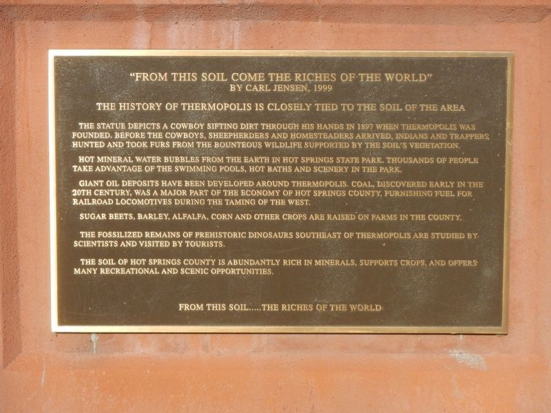
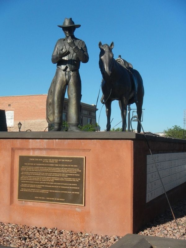
3. "From This Soil Come the Riches of the World"
The history of Thermopolis is closely tied to the soil of the area.
The statue depicts a cowboy sifting dirt through his hands in 1897 when Thermopois was founded. Before the cowboys, sheepherders and homesteaders arrived. Indians and trappers hunted and took furs from the bounteous wildlife supported by the soil's vegetation.
Hot mineral water bubbles from the earth in Hot Springs State Park. Thousands of people take advantage of the swimming pools, hot baths and scenery in the park.
Giant oil deposits have been developed around Thermopiles. Coal, discovered early in the 20th century, was a major part of the economy of Hot Springs County, furnishing fuel for railroad locomotives during the taming of the West.
Sugar beets, barley, alfalfa, corn, and other crops are raised on farms in the county.
The fossilized remains of prehistoric dinosaurs southeast of Thermopiles are studied by scientists and visited by tourists.
The soil of Hot Springs County is abundantly rich in minerals, supports crops, and offers many recreational and scenic opportunities.
From this soil..... the Riches of the World.
Credits. This page was last revised on September 12, 2016. It was originally submitted on September 12, 2016, by Barry Swackhamer of Brentwood, California. This page has been viewed 471 times since then and 29 times this year. Photos: 1, 2, 3, 4. submitted on September 12, 2016, by Barry Swackhamer of Brentwood, California.


