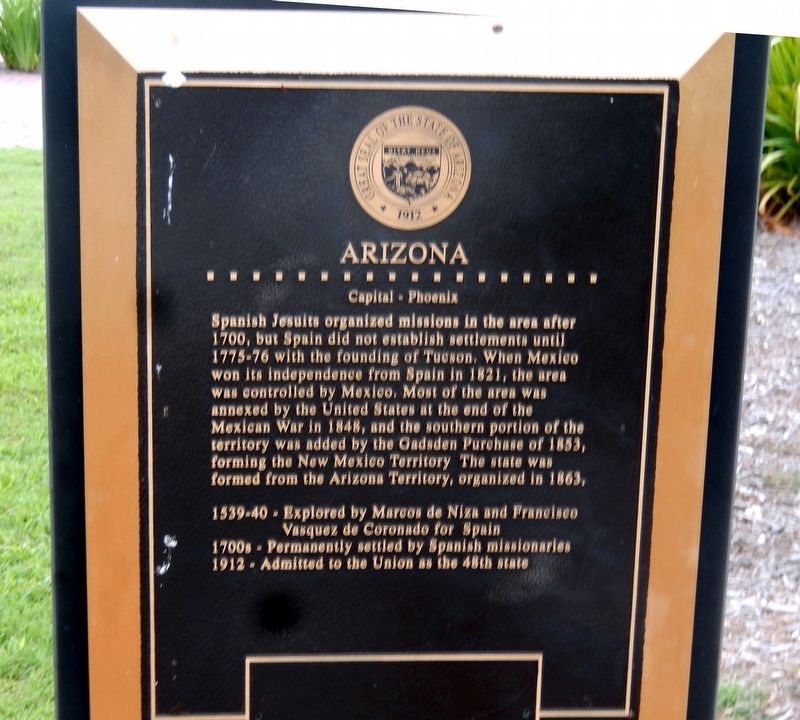
Arizona
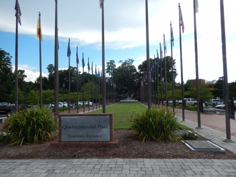
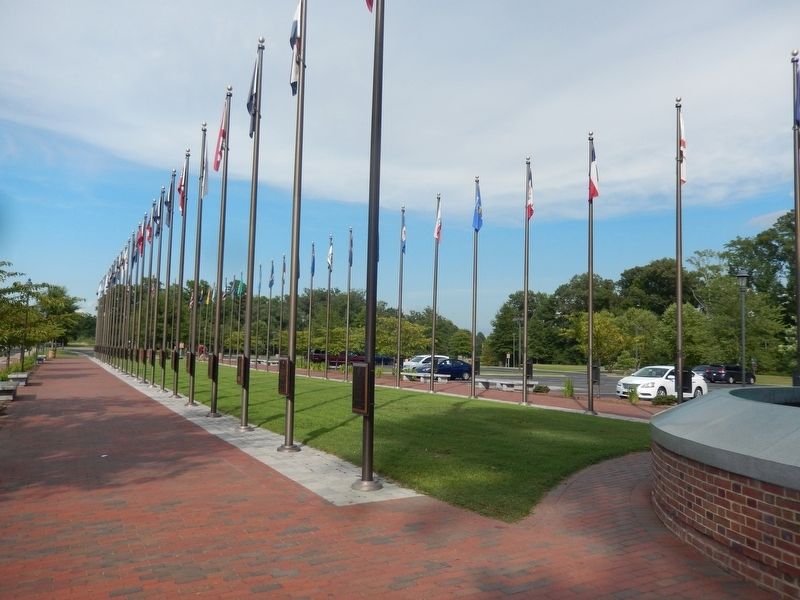
Quadricentennial Plaza
— Jamestown Settlement —
Spanish Jesuits organized missions in the area after 1700, but Spain did not establish settlements until 1775-76 with the founding of Tucson. When Mexico won its independence from Spain in 1821, the area was controlled by Mexico. Most of the area was annexed by the United States at the end of the Mexican War in 1848, and the southern portion of the territory was added by the Gadsden Purchase of 1853, forming the New Mexico Territory. The state was formed from the Arizona Territory, organized in 1863.
1539-Explored by Marcos de Niza and Francisco Vasques de Coronado for Spain
1700s-Permanently settled by Spanish missionaries
1912-Admitted to the Union as the 48th state.
Topics. This historical marker is listed in these topic lists: Exploration • Settlements & Settlers • War, Mexican-American. A significant historical year for this entry is 1700.
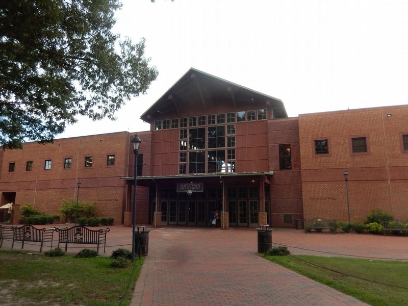
Location. 37° 13.569′ N, 76° 46.958′ W. Marker is in Jamestown, Virginia, in James City County. Marker is on Jamestown Road. The marker is located near the Jamestown Settlement Visitor Center. Touch for map. Marker is at or near this postal address: 2110 Jamestown Road, Williamsburg VA 23185, United States of America. Touch for directions.
Other nearby markers. At least 8 other markers are within walking distance of this marker. New Mexico (here, next to this marker); Alaska (here, next to this marker); Hawaii
Credits. This page was last revised on September 16, 2016. It was originally submitted on September 15, 2016, by Don Morfe of Baltimore, Maryland. This page has been viewed 252 times since then and 28 times this year. Photos: 1, 2, 3, 4. submitted on September 15, 2016, by Don Morfe of Baltimore, Maryland. • Bill Pfingsten was the editor who published this page.


