Empire in Leelanau County, Michigan — The American Midwest (Great Lakes)
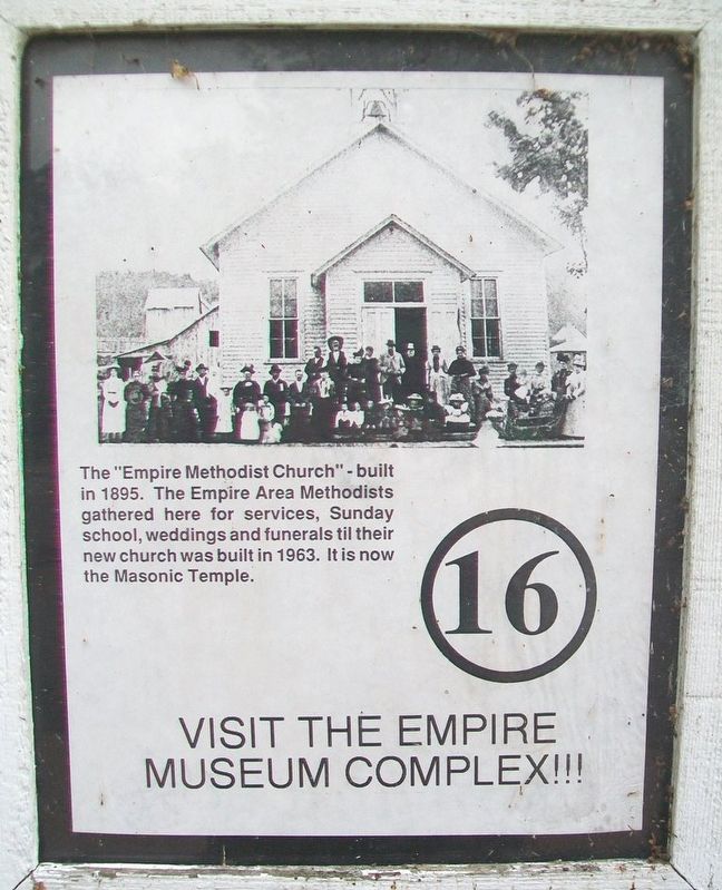
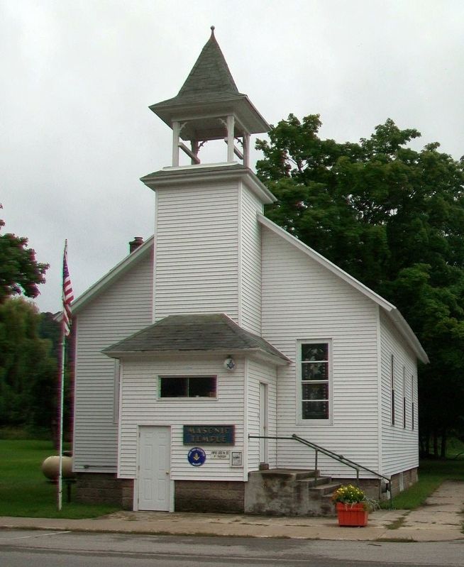
Empire Methodist Church
Topics. This historical marker is listed in these topic lists: Churches & Religion • Fraternal or Sororal Organizations. A significant historical year for this entry is 1895.
Location. 44° 48.655′ N, 86° 3.592′ W. Marker is in Empire, Michigan, in Leelanau County. Marker is at the intersection of Front Street and Union Street, on the left when traveling west on Front Street. Touch for map. Marker is at or near this postal address: 10069 Front Street, Empire MI 49630, United States of America. Touch for directions.
Other nearby markers. At least 8 other markers are within 11 miles of this marker, measured as the crow flies. The Legend of the Manitou Islands and the Sleeping Bear (approx. 3.3 miles away); Mother Bear Is Migrating (approx. 3.3 miles away); Of Wrecks and Water Trails (approx. 3.3 miles away); Pierce Stocking (approx. 4.4 miles away); Sand and Ice (approx. 5 miles away); The Moving Dune (approx. 5.1 miles away); Sleeping Bear Point Life Saving Station. (approx. 6.8 miles away); Honor Area WWII Honor Roll (approx. 10.4 miles away). Touch for a list and map of all markers in Empire.
Credits. This page was last revised on January 9, 2022. It was originally submitted on October 1, 2016, by William Fischer, Jr. of Scranton, Pennsylvania. This page has been viewed 373 times since then and 27 times this year. Photos: 1, 2. submitted on October 1, 2016, by William Fischer, Jr. of Scranton, Pennsylvania.

