Greenville in Monroe County, West Virginia — The American South (Appalachia)
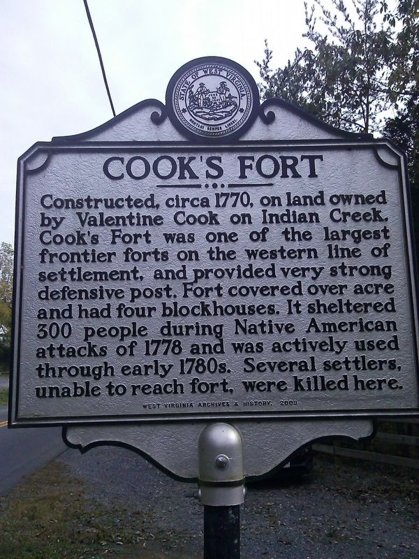
Cook's Fort
Erected 2009 by West Virginia Archives & History.
Topics and series. This memorial is listed in these topic lists: Forts and Castles • War, US Revolutionary. In addition, it is included in the West Virginia Archives and History series list. A significant historical year for this entry is 1770.
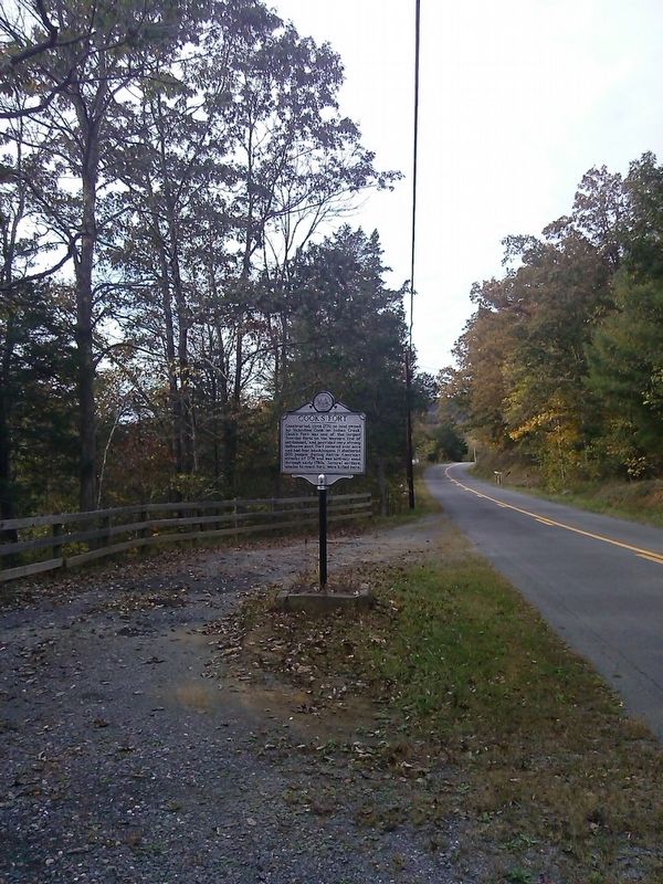
Location. 37° 32.823′ N, 80° 41.408′ W. Marker is in Greenville, West Virginia, in Monroe County. Memorial is on Greenville Road (West Virginia Route 122), on the left when traveling east. Touch for map. Marker is in this post office area: Greenville WV 24945, United States of America. Touch for directions.
Other nearby markers. At least 8 other markers are within 6 miles of this marker, measured as the crow flies. Saltpeter Caves (approx. 0.8 miles away); Mann-Miller / Springfield (approx. 2.1 miles away); Home of Isaac Estill / Block House on Indian Creek (approx. 3.7 miles away); Red Sulphur Springs (approx. 4.7 miles away); Grave of Elizabeth Graham Stodghill (approx. 5.1 miles away); Summers County / Monroe County (approx. 5.2 miles away); Civil War Camp (approx. 5.7 miles away); Mike Foster (approx. 5.8 miles away). Touch for a list and map of all markers in Greenville.
Credits. This page was last revised on October 18, 2016. It was originally submitted on October 18, 2016, by Roger Miller of Pulaski, Virginia. This page has been viewed 1,445 times since then and 178 times this year. Photos: 1, 2. submitted on October 18, 2016, by Roger Miller of Pulaski, Virginia. • Bill Pfingsten was the editor who published this page.

