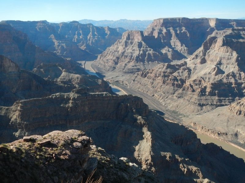
Peach Springs in Mohave County, Arizona — The American Mountains (Southwest)
Guano Point
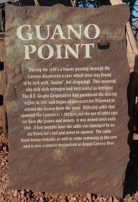
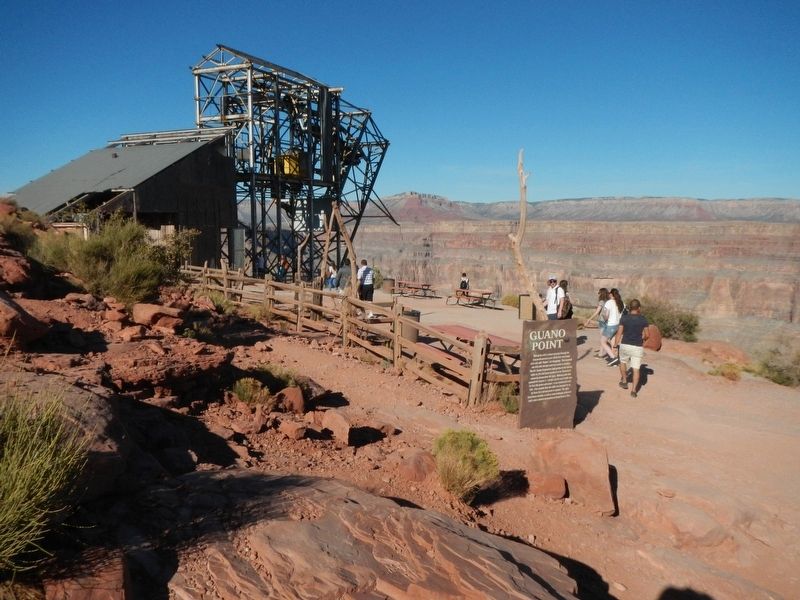
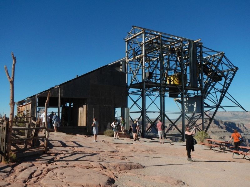
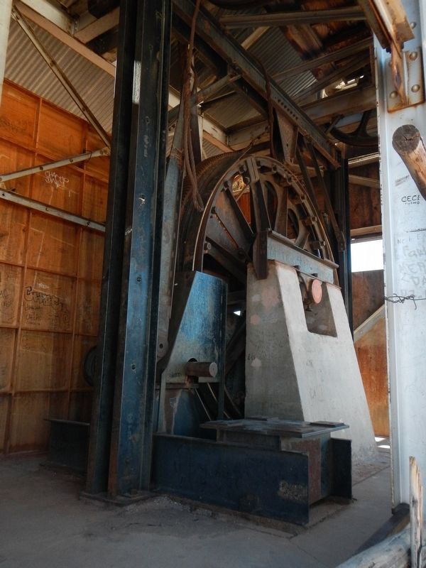
During the 1930'2 a boater passing through the Canyon discovered a cave which later was found to be rich with "Guano", bat droppings. This material was rich with nitrogen and very useful as fertilizer. The U.S. Guano Corporation had purchased the mining rights in 1957 and began to construct the Tramway to extract the Guano from the mine. Utilizing cable that spanned the Canyon at 7,500 feet and the use of cable cars for both the guano and the miners it was mined until early 1960. A few months later the cable was damaged by an Air Force Jet's tail and never re-opened. The cable head-house remains as well as some remnants at the cave and is now a tourist destination at Grand Canyon West.
Erected by Hualapai Nation.
Topics. This historical marker is listed in this topic list: Natural Resources.
Location. 36° 1.956′ N, 113° 49.506′ W. Marker is in Peach Springs, Arizona, in Mohave County. Marker can be reached from Diamond Bar Road (County Route 7) near Eagle Point Service Road. Touch for map. Marker is at or near this postal address: 5001 Diamond Bar Road, Peach Springs AZ 86434, United States of America. Touch for directions.
More about this marker. This marker is located on the Hualapai Indian Reservation at the north end of the Guano Point Trail. The trailhead is found at the north end of Diamond Bar Road (Mohave County Road 7).
Credits. This page was last revised on October 20, 2019. It was originally submitted on October 31, 2016, by Barry Swackhamer of Brentwood, California. This page has been viewed 695 times since then and 63 times this year. Photos: 1, 2, 3, 4, 5. submitted on October 31, 2016, by Barry Swackhamer of Brentwood, California.
