Near Caledonia in Washington County, Missouri — The American Midwest (Upper Plains)
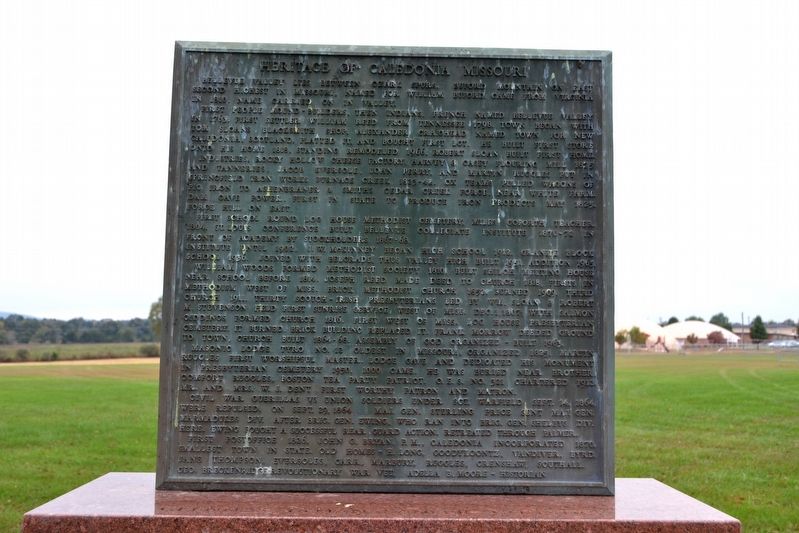
Heritage of Caledonia Missouri
First people mound-builders, then Indians. French named Bellevue Valley in 1763. First settler William Reed from Tennessee 1798. Town began with Tom Sloan’s blacksmith shop. Alexander Craighead named town for New Caledonia, Scotland, platted it, and bought first lot. He built first store onto his home 1818, standing remodeled 1966. Robert Sloan built first home.
Industries, Rocky Hollow Cheese Factory, Harvey & Casey Flouring Mill 1875 and tanneries. Jacob Eversole, John Perry, and Martin Ruggles put in Springfield Iron Works Furnace Creek 1823-42. Ox teams pulled wagons of pig iron to Ashenbraner & Smith’s Cedar Creek forge, near White farm. Dam gave power. First in state to produce iron products May 1825. Forge Hill on east.
First school round log house Methodist cemetery, Miles Goforth teacher, 1804. St. Louis Conference built Bellevue Collegiate Institute 1870-72 in front of academy by stockholders 1867-68. Institute until 1902. J.W. McKinney began high school 1912. Granite block school 1936. Joined with Belgrade, thus Valley High built 1951. Addition 1965.
William Woods formed Methodist Society 1810, built Shiloh Meeting House near school before 1814. Joseph Reed made deed to church 1818, firsts in Methodism west of Miss. Brick Methodist church 1852. Burned 1909. Third church 1911. Thirty Scotch-Irish Presbyterians led by Wm. Sloan & Robert Giddings formed church 1816. First west of Miss. Log house Presbyterian cemetery. It burned. Brick building replaced it. Frank Morrow deeded ground to town, church built 1864-68. Assembly of God organized - built 1963.
Masonic Lodge Tyro No. 12 oldest in Missouri, organized 1825. Martin Ruggles first worshipful master. Lodge gave and dedicated his monument in Presbyterian cemetery 1905. 1000 came. He was buried near brother, Comfort Ruggles, Boston Tea Party patriot. O.E.S. No. 321 chartered 1912, Mr. and Mrs. W.J. Dent first worthy patron and matron.
Civil War guerillas vs Union soldiers under Sgt. Warfield Sept. 14, 1864, were repulsed. On Sept. 29, 1864 Maj. Gen. Sterling Price sent Maj. Gen. Marmadukes div. after Brig. Gen. Ewing, who ran into Brig. Gen. Shelbys div. here. Ewing fought a successful rear guard action. Retreated through Palmer.
First postoffice 1826, John G. Bryan, P.M., Caledonia incorporated 1870, smallest town in state. Old homes - H. Long, Goodykoontz, Vandiver, Byrd, Jane Thompson, Eversoles, Carr, Marbury, Ruggles, Crenshaw, Southall. Geo. Breckenridge - Revolutionary War vet, Adella B. Moore - Historian.
Erected 1967.
Topics. This historical marker is listed in this topic list: Settlements & Settlers. A significant historical year for this entry is 1763.
Location. 37° 46.67′ N, 90° 46.559′ W. Marker is near Caledonia, Missouri, in Washington County. Marker is at the intersection of State Highway 21 and Old Route C, on the left when traveling north on State Highway 21. Touch for map. Marker is in this post office area: Caledonia MO 63631, United States of America. Touch for directions.
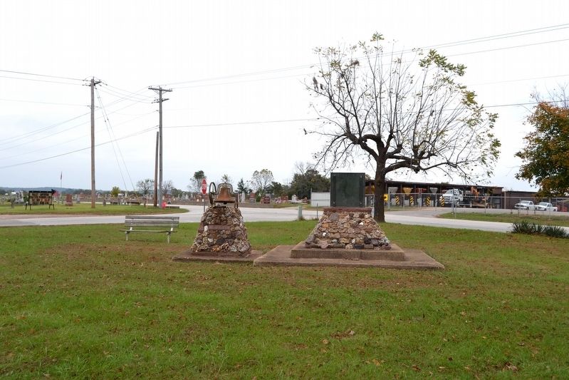
Other nearby markers. At least 8 other markers are within 13 miles of this marker, measured as the crow flies. Bellevue Collegiate Institute (here, next to this marker); Dr. John Stafford Brown (approx. 9.9 miles away); Durham Hall - 1798 (approx. 11 miles away); Red Bridge (approx. 11 miles away); Potosi (approx. 11 miles away); Veterans Memorial (approx. 11 miles away); In Memory of These Revolutionary Soldiers (approx. 11 miles away); The Arcadia Valley (approx. 12.4 miles away).
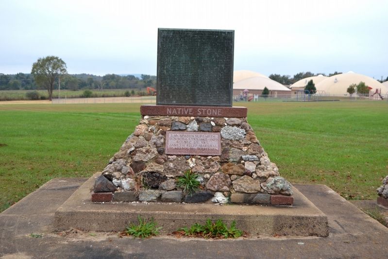
More about this marker. The marker and its base were designed by John and Muriel Akers. A stone tablet below the marker on the base states:
Sun. Sch. 64 yrs. 1865-1929
BCI, Sec. 25 yrs.
James H. Relfe, Marshal
Of Missouri Territory
1843
Credits. This page was last revised on November 15, 2016. It was originally submitted on November 15, 2016, by Duane Hall of Abilene, Texas. This page has been viewed 621 times since then and 67 times this year. Photos: 1, 2, 3, 4. submitted on November 15, 2016, by Duane Hall of Abilene, Texas.


