Macdoel in Siskiyou County, California — The American West (Pacific Coastal)
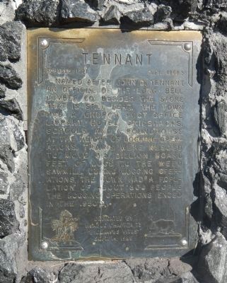
Tennant
Founded: 1921 - Elev. 4808.5
Erected 1985 by E Clampus Vitus, Humbug Chapter 73.
Topics and series. This historical marker is listed in these topic lists: Horticulture & Forestry • Settlements & Settlers. In addition, it is included in the E Clampus Vitus series list.
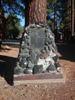
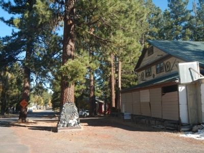
Location. 41° 34.937′ N, 121° 54.726′ W. Marker is in Macdoel, California, in Siskiyou County. Marker is on Tennant Road south of Shasta Drive, on the right when traveling north. Touch for map. Marker is at or near this postal address: 13512 Tennant Road, Macdoel CA 96058, United States of America. Touch for directions.
Other nearby markers. At least 8 other markers are within 13 miles of this marker, measured as the crow flies. Yreka Trail - Are Yet On Butte Creek (approx. 7.1 miles away); Yreka Trail - Near a Little Lake (approx. 7.2 miles away); Yreka Trail - Out of Danger (approx. 7.9 miles away); Yreka Trail - Up Butte Creek (approx. 8.7 miles away); Yreka Historic Trail (approx. 9.1 miles away); Yreka Trail - Quite Stony Today (approx. 9˝ miles away); Yreka Trail-Splendid Pine Timber/Yreka Trail-To a Swamp (approx. 9.8 miles away); Yreka Trail - Quite a Stream (approx. 12˝ miles away). Touch for a list and map of all markers in Macdoel.
Credits. This page was last revised on November 27, 2016. It was originally submitted on October 31, 2013, by Barry Swackhamer of Brentwood, California. This page has been viewed 919 times since then and 75 times this year. Last updated on November 22, 2016, by Alvis Hendley of San Francisco, California. Photos: 1, 2, 3. submitted on October 31, 2013, by Barry Swackhamer of Brentwood, California. • Syd Whittle was the editor who published this page.


