Tuskegee Airmen National Historic Site in Macon County, Alabama — The American South (East South Central)
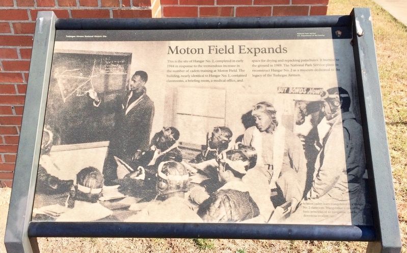
Moton Field Expands
Tuskegee Airmen National Historic Site
Photographed by Mark Hilton, November 16, 2016
1. Moton Field Expands Marker
{Photo caption}
Aviation cadets learn triangulation in a Hangar
No. 2. classroom. Triangulation is one of the
basic principles of air navigation, used to
determine location.
Erected by the National Park Service, Department of the Interior.
Topics. This historical marker is listed in these topic lists: African Americans • Air & Space • War, World II. A significant historical year for this entry is 1944.
Location. 32° 27.425′ N, 85° 40.781′ W. Marker is in Tuskegee Airmen National Historic Site, Alabama, in Macon County. It can be reached from Chappie James Avenue. Located at Tuskegee Airmen National Historic Site Hanger # 2. Touch for map. Marker is at or
this page online

Regionally, this marker is in the American South, specifically in the Deep South, and in the Black Belt. Globally, it is in North America, a Gulf of Mexico state, the Western Hemisphere, the Western World, and the Anglosphere. Historically, it finds itself in what was once the territory of the Mississippian Culture, one of the Confederate States of America, and the Antebellum South.
Other nearby markers. At least 8 other markers are within walking distance of this marker: Bath and Locker House (a few steps from this marker); It Was Called "Dope" (a few steps from this marker); Fire Suppression Pond (within shouting distance of this marker); Oil Storage Shed (within shouting distance of this marker); Warehouse/Vehicle Storage (within shouting distance of this marker); Waiting for the Bus (within shouting distance of this marker); A Typical Day (within shouting distance of this marker); A Bit to Eat (within shouting distance of this marker). Touch for a list and map of all markers in Tuskegee Airmen National
Photographed by Mark Hilton, November 16, 2016
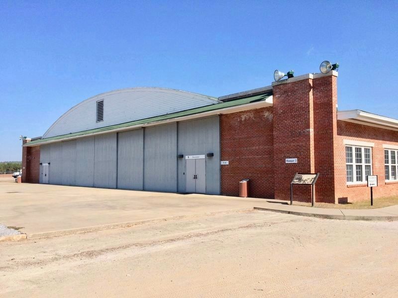
2. Moton Field Expands - Hangar #2 is rebuilt.
Hangar 2 burned down in 1989 and what stands today is a reconstruction of the original building.
Photographed by Mark Hilton, November 16, 2016
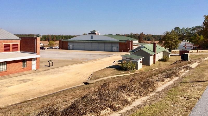
3. Wide area view of Hangar #2 in distance.
The air control tower at the back of the building was saved and still stands today. Visitors can walk up four flights of stairs to the top for a view of the air field.
Credits. This page was last revised on November 11, 2025. It was originally submitted on November 24, 2016, by Mark Hilton of Montgomery, Alabama. This page has been viewed 611 times since then and 19 times this year. Photos: 1, 2, 3. submitted on November 24, 2016, by Mark Hilton of Montgomery, Alabama.
