Near Corinne in Box Elder County, Utah — The American Mountains (Southwest)
Stairway to Promontory
Inscription.
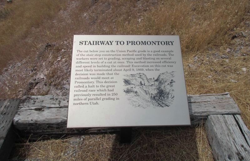
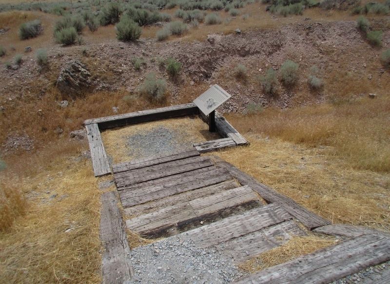
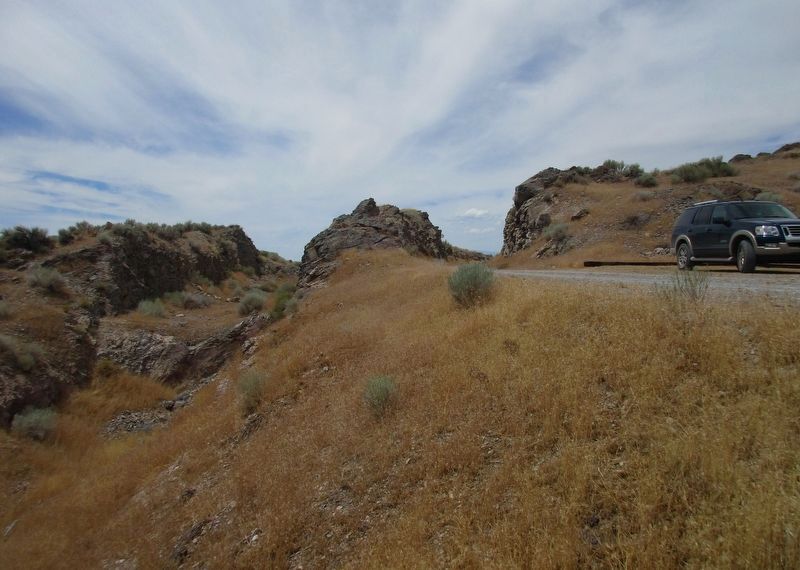
The cut below you on the Union Pacific grade is a good example
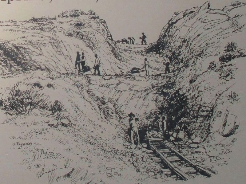
of the stair step construction method used by the railroads. The
workers were set to grading, scraping and blasting on several
different levels of a cut at once. This method increased efficiency
and speed in building the railroad. Excavation on this cut was
most likely terminated about April 9, 1869, when the
decision was made that the
railroads should meet at
Promontory. The decision
called a halt to the great
railroad race which had
previously resulted in 250
miles of parallel grading in
northern Utah. (picture)
Topics. This historical marker is listed in this topic list: Railroads & Streetcars.
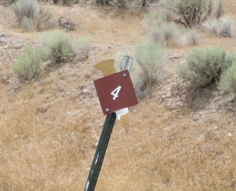
Location. 41° 33.975′ N, 112° 37.482′ W. Marker is near Corinne, Utah, in Box Elder County. Monument is located at mile marker #4 of the Transcontinental Railroad National Back Country Byway which is accessible eastbound only, from the Transcontinental Railroad National Back Country Byway Rails of History Marker. Touch for map. Marker is in this post office area: Corinne UT 84307, United States of America. Touch for directions.
Other nearby markers. At least 8 other markers are within 6 miles of this marker, measured as the crow flies. Transcontinental Railroad (approx. 1.3 miles away); 10 Miles of Track (approx. 1.8 miles away); Rozel (approx. 2.1 miles away); Centre Siding (approx. 4.7 miles away); September 1869 (approx. 5.2 miles away); May 10, 1869 (approx. 5.2 miles away); Stephen Tyng Mather (approx. 5.2 miles away); The Locomotives of Golden Spike - Jupiter (approx. 5.2 miles away). Touch for a list and map of all markers in Corinne.
Credits. This page was last revised on December 4, 2016. It was originally submitted on November 28, 2016, by Rev. Ronald Irick of West Liberty, Ohio. This page has been viewed 434 times since then and 23 times this year. Photos: 1, 2, 3, 4, 5. submitted on November 28, 2016, by Rev. Ronald Irick of West Liberty, Ohio. • Syd Whittle was the editor who published this page.
