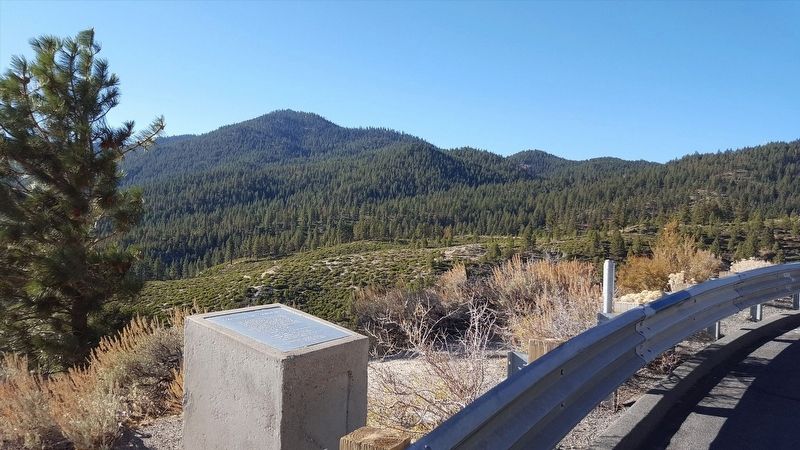
Carson City, Nevada — The American Mountains (Southwest)
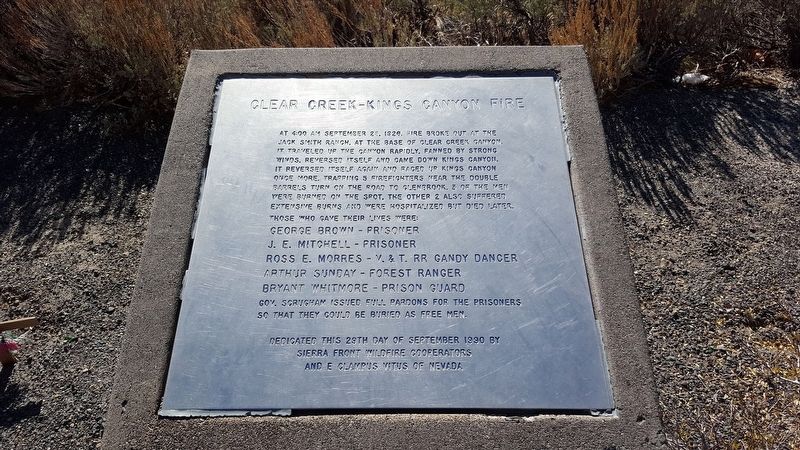
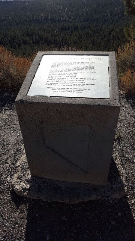
Clear Creek-Kings Canyon Fire
Those Who Gave Their Lives Were: George Brown - Prisoner J. E. Mitchell - Prisoner Ross E. Morres - V. & T. Rr Gandy Dancer Arthur Sunday - Forest Ranger Bryant Whitmore - Prison Guard Gov. Scrugham Issued Full Pardons For The Prisoners So That They Could Be Buried As Free Men.
Erected 1990 by Sierra Front Wildfire Cooperators And E Clampus Vitus Of Nevada.
Topics and series. This historical marker is listed in this topic list: Disasters. In addition, it is included in the E Clampus Vitus series list. A significant historical year for this entry is 1926.
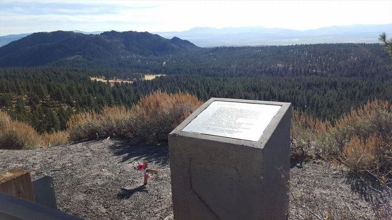
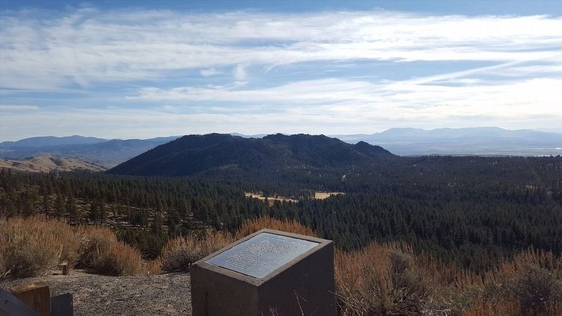
Location. 39° 6.899′ N, 119° 51.508′ W. Marker is in Carson City, Nevada. Marker is on Lincoln Highway (U.S. 50). Touch for map. Marker is in this post office area: Carson City NV 89705, United States of America. Touch for directions.
Other nearby markers. At least 8 other markers are within 3 miles of this marker, measured as the crow flies. Johnson Cutoff - Sand Hills (approx. 1.3 miles away); Green Gold (approx. 2.1 miles away); Life at the Summit (approx. 2.1 miles away); Riding the Flume (approx. 2.1 miles away); Tomb of the Sierras (approx. 2.1 miles away); Spooner Summit (approx. 2.1 miles away); Tahoe Rim Trail (approx. 2.2 miles away); The Flume Trail (approx. 2.2 miles away). Touch for a list and map of all markers in Carson City.
Regarding Clear Creek-Kings Canyon Fire. It was 4:00 a.m. on Tuesday, September 28 in the year 1926. Fire had broken out at the Jack Smith Ranch at the base of Clear Creek Canyon above Carson City, Nev.
Flames were high, and the fire traveled up the canyon rapidly, getting ever so close to the source of timber for all of the state's mines at Glenbrook. The fire also burned several ranches. Strong winds fanned those flames, and caused the fire to reverse itself and come down Kings Canyon. Again, it reversed itself and raced up Kings Canyon one more.
In its path were five firefighters who were trapped by the flames near the "double barrels turn" on the road to Glenbrook.
Three of the men died instantly, the other two with intensive burns were transported to the hospital where they later died.
Also see . . . Firefighters killed in 1926 fire to be remembered in ceremony. (Submitted on December 6, 2016, by Douglass Halvorsen of Klamath Falls, Oregon.)
Credits. This page was last revised on July 5, 2023. It was originally submitted on December 6, 2016, by Douglass Halvorsen of Klamath Falls, Oregon. This page has been viewed 621 times since then and 66 times this year. Photos: 1, 2, 3, 4, 5. submitted on December 6, 2016, by Douglass Halvorsen of Klamath Falls, Oregon. • Bill Pfingsten was the editor who published this page.
