Marker Logo HMdb.org THE HISTORICAL
MARKER DATABASE
“Bite-Size Bits of Local, National, and Global History”
Wallace in Fountain County, Indiana — The American Midwest (Great Lakes)
 

Phanuel Lutheran Church - - Jackson Township


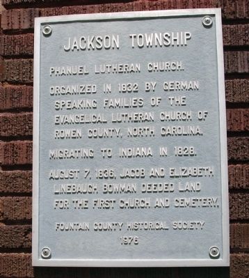
Phanuel Lutheran Church - - Jackson Township Marker image. Click for full size.
Photographed By Al Wolf, August 6, 2008
1. Phanuel Lutheran Church - - Jackson Township Marker
Inscription. Organized in 1832 by German speaking families of the Evangelical Lutheran Church of Rowen County, North Carolina. Migrating to Indiana in 1828. August 7, 1836 Jacob and Elizabeth Linebaugh Bowman deeded land for the First Church and Cemetery.
 
Erected 1976 by Fountain County Historical Society.
 
Topics. This historical marker is listed in this topic list: Churches & Religion. A significant historical year for this entry is 1832.
 
Location. 39° 58.955′ N, 87° 7.905′ W. Marker is in Wallace, Indiana, in Fountain County. Marker can be reached from East Lutheran Church Road west of South Grimes Road. Going East out of Wallace, Indiana follow E. Lutheran Church Road. It is located on North side of the road up gravel drive at the Church/Cemetery. Touch for map. Marker is in this post office area: Wallace IN 47988, United States of America. Touch for directions.
 
Other nearby markers. At least 8 other markers are within 9 miles of this marker, measured as the crow flies. First Church Built in Parke County 1828 (approx. 2˝ miles away); Dorothy Madden Hobson Luther (approx. 4.6 miles away); Oldest Surviving Veteran of American Revolution (approx. 5.9 miles away); Millcreek Township (approx. 7.3 miles away); Kingman Indiana (approx. 7.8 miles away); Turkey Run
Paid Advertisement
Click on the ad for more information.
Please report objectionable advertising to the Editor.
Click or scan to see
this page online
(approx. 7.9 miles away); Wilkins Mill Covered Bridge (approx. 7.9 miles away); William Bratton (approx. 8.2 miles away).
 
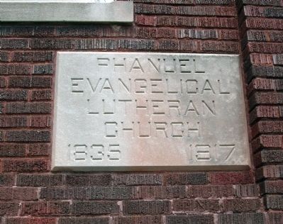
Phanuel Church Stone - Next to Marker image. Click for full size.
Photographed By Al Wolf, August 6, 2008
2. Phanuel Church Stone - Next to Marker
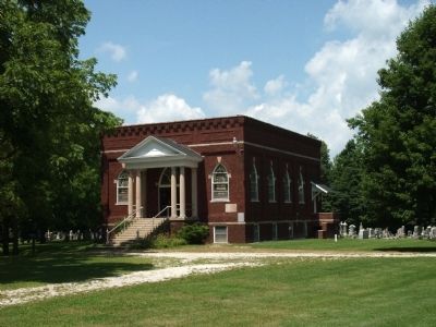
Front of Church image. Click for full size.
Photographed By Al Wolf, August 6, 2008
3. Front of Church
Marker can be seen next to the Church Stone on the Church right front.
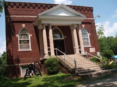
Right View - - Phanuel Lutheran Church image. Click for full size.
Photographed By Al Wolf, August 6, 2008
4. Right View - - Phanuel Lutheran Church
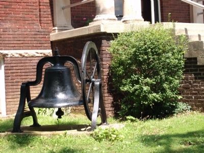
Old Church Bell - Sits to Left of Church Front Entry image. Click for full size.
Photographed By Al Wolf, August 6, 2008
5. Old Church Bell - Sits to Left of Church Front Entry
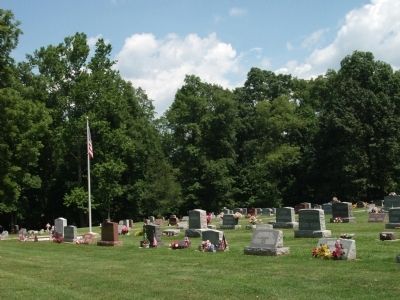
Phanuel Lutheran Cemetery - - In Church Front Yard image. Click for full size.
Photographed By Al Wolf, August 6, 2008
6. Phanuel Lutheran Cemetery - - In Church Front Yard
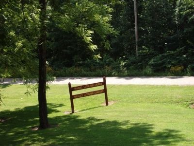
Church & Cemetery Sign - - Viewed from Church Drive image. Click for full size.
Photographed By Al Wolf, August 6, 2008
7. Church & Cemetery Sign - - Viewed from Church Drive
The East Luthern Church Road can be seen behind the sign.
 
 
Credits. This page was last revised on June 16, 2016. It was originally submitted on August 7, 2008, by Al Wolf of Veedersburg, Indiana. This page has been viewed 2,326 times since then and 30 times this year. Photos:   1, 2, 3, 4, 5, 6, 7. submitted on August 7, 2008, by Al Wolf of Veedersburg, Indiana. • Craig Swain was the editor who published this page.
Share this page.  
Share on Tumblr
m=10027

CeraNet Cloud Computing sponsors the Historical Marker Database.
This website earns income from purchases you make after using our links to Amazon.com. We appreciate your support.
Paid Advertisement
Apr. 26, 2024