Signal Hill in Los Angeles County, California — The American West (Pacific Coastal)
Discovery of Oil on the Hill
Part of the “Memory Necklace”
— A Series of Historical Panels Located in the Hilltop Loop Trail —
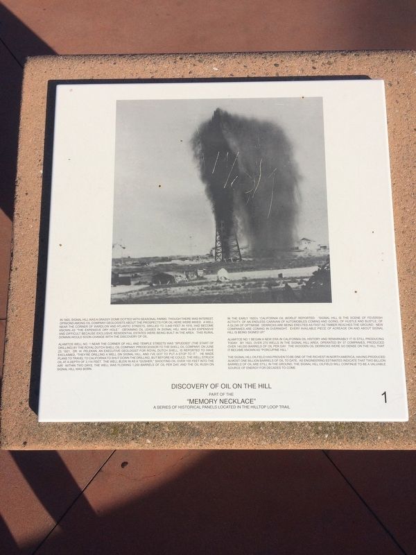
Alamitos Well No. 1 near the corner of Hill and Temple Streets was “spudded” (the start of drilling) by the Royal Dutch Shell Oil Company, predecessor to the Shell Oil Company, on June 23, 1921. Dr. W. Pelekan, an executive geologist for Royal Dutch Shell, is reported to have exclaimed, “They’re drilling a well on Signal Hill, and I’ve got to put a stop to it.” He made plans to travel to California to shut down the drilling, but before he could, the well struck oil at a depth of 3,114 feet. The well blew in as a “gusher,” shooting oil over 10 feet into the air! Within two days, the well was flowing 1,200 barrels of oil per day, and the oil rush on Signal Hill was born.
In the early 1920’s California Oil World reported, “Signal Hill is the scene of feverish activity, of an endless caravan of automobiles coming and going, of hustle and bustle of a glow of optimism. Derricks are being erected as fast as timber reaches the ground. New companies are coming in overnight. Every available piece of acreage on and about Signal Hill is being signed up.”
Alamitos Well No. 1 began a new era in California oil history and remarkably it is still producing today. By 1923, over 270 wells in the Signal Hill area, operated by 37 companies, produced over 140,000 barrels of oil per day. The wooden oil derricks were so dense on the hill that it became known as “Porcupine Hill.”
The Signal Hill oilfield has proven to be one of the richest in North America, having produced almost one billion barrels of oil to date. As engineering estimates indicate that two billion barrels of oil are still in the ground, the Signal Hill oilfield will continue to be a valuable source of energy for decades to come. (Marker Number 1.)
Topics. This historical marker is listed in these topic lists: Industry & Commerce • Natural Resources. A significant historical date for this entry is June 23, 1921.
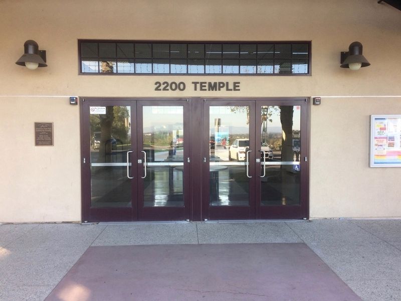
Location. 33° 47.856′ N, 118° 9.529′ W. Marker is in Signal Hill, California, in Los Angeles County. Marker is on Temple Avenue, on the right when traveling north. Touch for map. Marker is at or near this postal address: 2229-2271 Temple Avenue, Signal Hill CA 90755, United States of America. Touch for directions.
Other nearby markers. At least 8 other markers are within walking distance of this marker. Discovery Well - Signal Hill Field (within shouting distance of this marker); "Unity Monument" (about 300 feet away, measured in a direct line); Car Climbs on the Hill (about 400 feet away); Japanese Farming on the Hill (approx. 0.2 miles away); Early Aviation on the Hill (approx. 0.3 miles away); Broadcasting and Music on the Hill (approx. 0.3 miles away); “Tribute to the Roughnecks” (approx. 0.3 miles away); Hilltop Park (approx. 0.4 miles away). Touch for a list and map of all markers in Signal Hill.
Credits. This page was last revised on January 30, 2023. It was originally submitted on December 14, 2016, by Michael Kindig of Elk Grove, California. This page has been viewed 390 times since then and 30 times this year. Photos: 1. submitted on December 14, 2016, by Michael Kindig of Elk Grove, California. 2, 3, 4, 5. submitted on December 15, 2016, by Michael Kindig of Elk Grove, California. • Syd Whittle was the editor who published this page.
