Mobile in Mobile County, Alabama — The American South (East South Central)
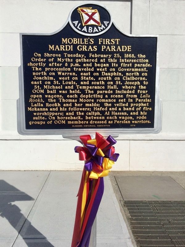
Mobile's First Mardi Gras Parade
Erected 2017 by the Alabama Historical Association.
Topics and series. This historical marker is listed in these topic lists: Entertainment • Notable Places. In addition, it is included in the Alabama Historical Association series list. A significant historical date for this entry is February 25, 1868.
Location. 30° 41.409′ N, 88° 2.406′ W. Marker is in Mobile, Alabama, in Mobile County. Marker is at the intersection of South Royal Street and Government Street, on the right when traveling north on South Royal Street. Located next to the Gulf Coast Exploreum Science Center & the History Museum of Mobile. Touch for map. Marker is at or near this postal address: 111 South Royal Street, Mobile AL 36602, United States of America. Touch for directions.
Other nearby markers. At least 8 other markers are within walking distance of this marker. City Hall (within shouting distance of this marker); 10" Rifled Sea Coast Columbiad (within shouting distance of this marker); "Damn The Torpedoes!" The Campaigns for Mobile, 1864 - 1865 (within shouting distance of this marker); Second Fort Conde Ruin (about 400 feet away, measured in a direct line); Lynching in America / The Lynching of Richard Robertson (about 400 feet away); How Big was the Original Fort Condé? (about 500 feet away); The Site of Historic Fort Condé (about 500 feet away); Cadillac Homesite (about 500 feet away). Touch for a list and map of all markers in Mobile.
More about this marker. Although the marker is dated 2016, it was actually erected January 6th, 2017. At midnight on that day, Twelfth Night, or Epiphany, the Carnival season officially began.
OOM is the abbreviation for Order of Myths.

Photographed By Mark Hilton, January 14, 2017
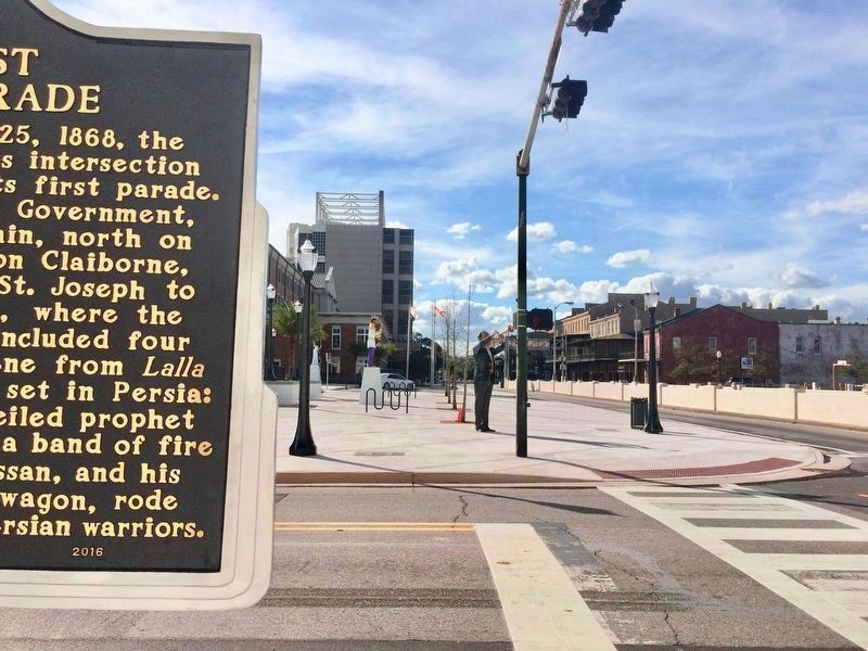
2. Mardi Gras Parade Marker can be seen in far background.
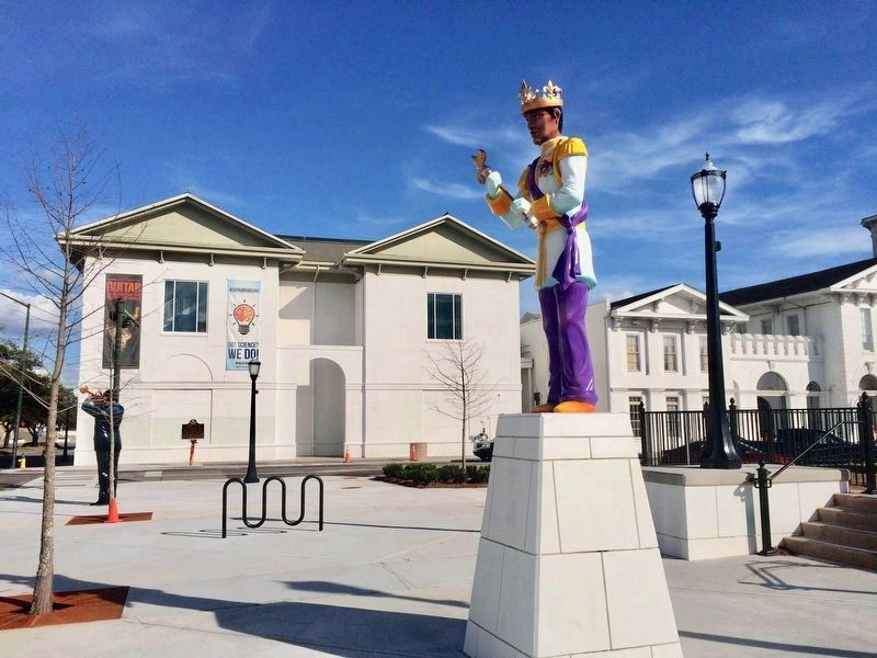
The king statue in the foreground represents the Mobile Area Mardi Gras Association. The Gulf Coast Exploreum Science Center, IMAX Dome Theater & the History Museum of Mobile are behind the marker.

Photographed By Mark Hilton, January 14, 2017
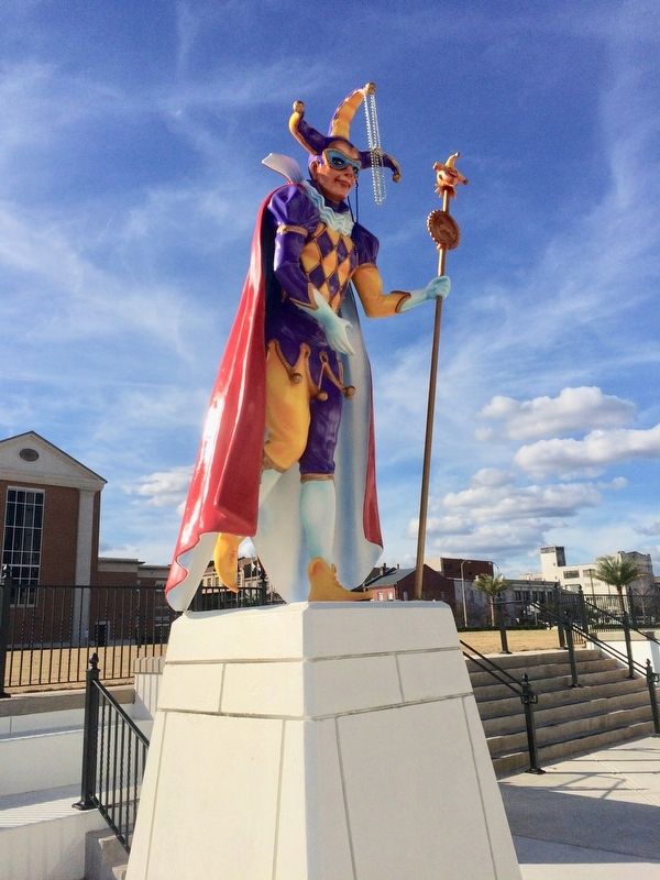
3. Mardi Gras jester figure near first phase of Mardi Gras Park.
The first phase included a $2.5 million leveling of the park’s surface and the construction of retaining walls, extra parking, sidewalks, lighting and other features.
The second phase, to cost around $2 million, is proposed to include the creation of a public pavilion and an enclosed marketplace.
Credits. This page was last revised on January 15, 2017. It was originally submitted on January 14, 2017, by Mark Hilton of Montgomery, Alabama. This page has been viewed 747 times since then and 87 times this year. Photos: 1, 2, 3, 4. submitted on January 14, 2017, by Mark Hilton of Montgomery, Alabama.

