Santa Cruz in Santa Cruz County, California — The American West (Pacific Coastal)
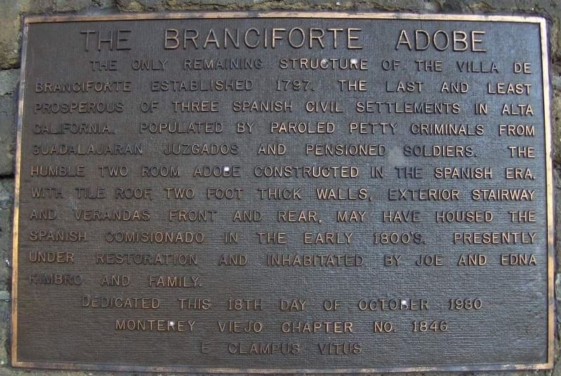
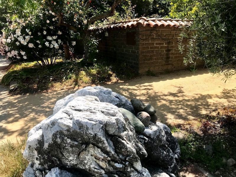
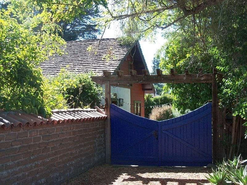
The Branciforte Adobe
Erected 1980 by Monterey Viejo Chapter no. 1846 E Clampus Vitus.
Topics and series. This historical marker is listed in this topic list: Settlements & Settlers. In addition, it is included in the E Clampus Vitus series list.
Location. 36° 59.378′ N, 122° 0.64′ W. Marker is in Santa Cruz, California, in Santa Cruz County. Marker is at the intersection of North Branciforte Avenue and Goss Avenue, on the left when traveling east on North Branciforte Avenue. Touch for map. Marker is at or near this postal address: 1351 North Branciforte Avenue, Santa Cruz CA 95065, United States of America. Touch for directions.
Other nearby markers. At least 8 other markers are within one mile of this marker, measured as the crow flies. Branciforte (approx. 0.6 miles away); First National Bank (approx. ¾ mile away); Santa Cruz Memorial Park (approx. 0.9 miles away); William Wessell Home (approx. 0.9 miles away); Gault School (approx. 0.9 miles away); The Antlers (approx. one mile away); Arana Gulch's Changing Landscape (approx. one mile away); Old Holy Cross Cemetery (approx. 1.1 miles away). Touch for a list and map of all markers in Santa Cruz.
Regarding The Branciforte Adobe. This is a private home. Please respect their privacy.
Credits. This page was last revised on May 11, 2021. It was originally submitted on January 17, 2017, by Frank Gunshow Sanchez of Hollister, California. This page has been viewed 450 times since then and 15 times this year. Photos: 1. submitted on January 17, 2017, by Frank Gunshow Sanchez of Hollister, California. 2. submitted on May 10, 2021, by Diane Phillips of Pittsburg, California. 3. submitted on January 17, 2017, by Frank Gunshow Sanchez of Hollister, California. • Syd Whittle was the editor who published this page.


