Angels Camp in Calaveras County, California — The American West (Pacific Coastal)
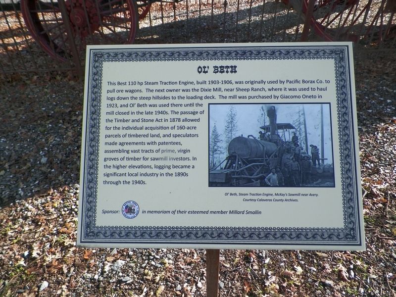
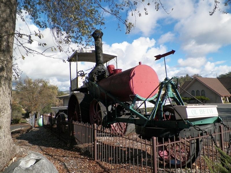
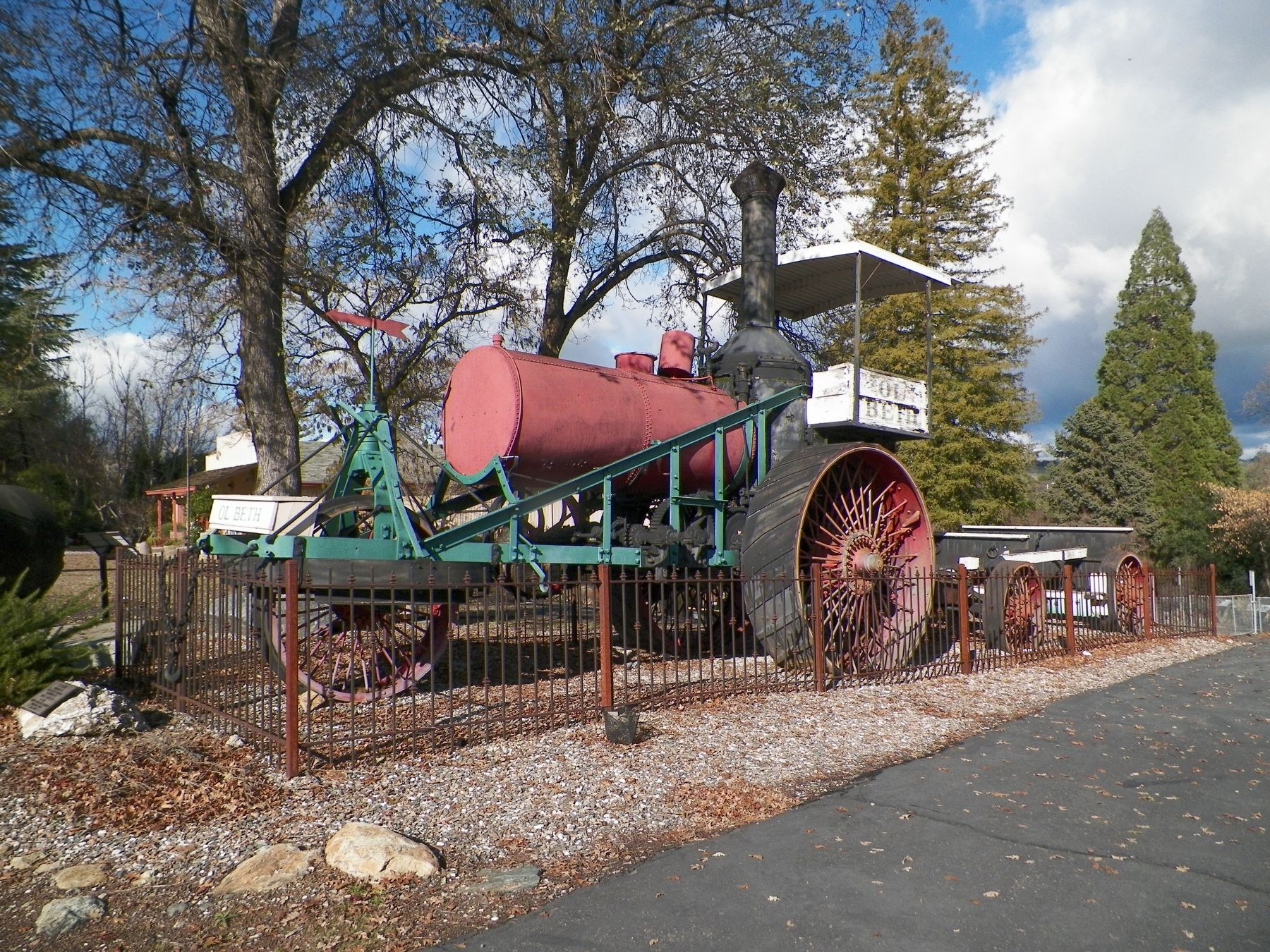
Ol' Beth
Erected by Angels Camp Museum, sponsored by Native Sons of the Golden West in memory of esteemed member Millard Smallin.
Topics and series. This historical marker is listed in these topic lists: Horticulture & Forestry • Industry & Commerce. In addition, it is included in the Native Sons/Daughters of the Golden West series list.
Location. 38° 4.528′ N, 120° 32.741′ W. Marker is in Angels Camp, California, in Calaveras County. Marker is on South Main Street (California Route 49), on the left when traveling south. This marker is on the side of the horseshoe driveway on the south side of the property. Touch for map. Marker is at or near this postal address: 753 South Main Street, Angels Camp CA 95222, United States of America. Touch for directions.
Other nearby markers. At least 8 other markers are within walking distance of this marker. Stalactite/Stalagmite (here, next to this marker); Serpentine Drill Core Section (here, next to this marker); Signal Cannon/Utica Mine Ore Car/Arrastra Model (a few steps from this marker); Bells (a few steps from this marker); Camp 9 Powerhouse Pelton Wheel (a few steps from this marker); Just Jenny (a few steps from this marker); Hogarth Stamp Mill (about 500 feet away, measured in a direct line); a different marker also named The Hogarth Stamp Mill (about 500 feet away). Touch for a list and map of all markers in Angels Camp.
Credits. This page was last revised on July 27, 2018. It was originally submitted on February 26, 2017, by James King of San Miguel, California. This page has been viewed 430 times since then and 22 times this year. Photos: 1, 2, 3. submitted on February 26, 2017, by James King of San Miguel, California. • Syd Whittle was the editor who published this page.


