Sausalito in Marin County, California — The American West (Pacific Coastal)
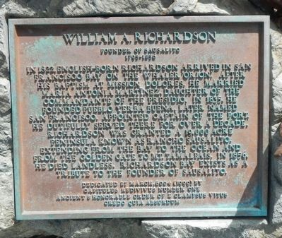
William Richardson
Founder of Sausalito
— 1795 - 1856 —
Erected 1999 by E Clampus Vitus, Yerba Buena No. 1.
Topics and series. This historical marker is listed in this topic list: Settlements & Settlers. In addition, it is included in the E Clampus Vitus series list. A significant historical year for this entry is 1822.
Location. 37° 51.462′ N, 122° 28.728′ W. Marker is in Sausalito, California, in Marin County. Marker can be reached from Spinnaker Drive near Humboldt Avenue, on the right when traveling north. Touch for map. Marker is at or near this postal address: 100 Spinnaker Drive, Sausalito CA 94965, United States of America. Touch for directions.
Other nearby markers. At least 8 other markers are within walking distance of this marker. Sausalito Ferry Terminals (about 300 feet away, measured in a direct line); Sausalito Before the Bridge (about 500 feet away); Sausalito History Timeline (about 500 feet away); Sausalito World War I Memorial (about 600 feet away); Restored Victorian (about 600 feet away); Mason's Garage (about 600 feet away); Old Sausalito City Hall / 1894 Old City Hall (about 600 feet away); Bank of Sausalito (about 700 feet away). Touch for a list and map of all markers in Sausalito.
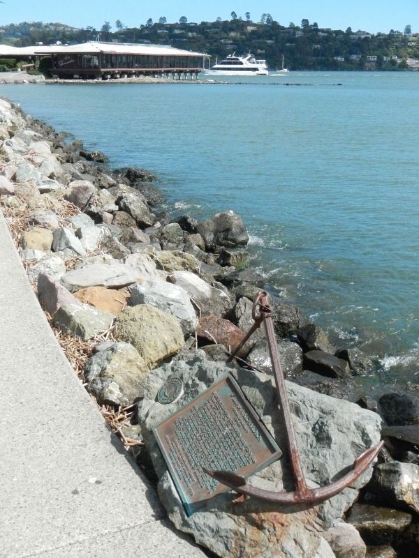
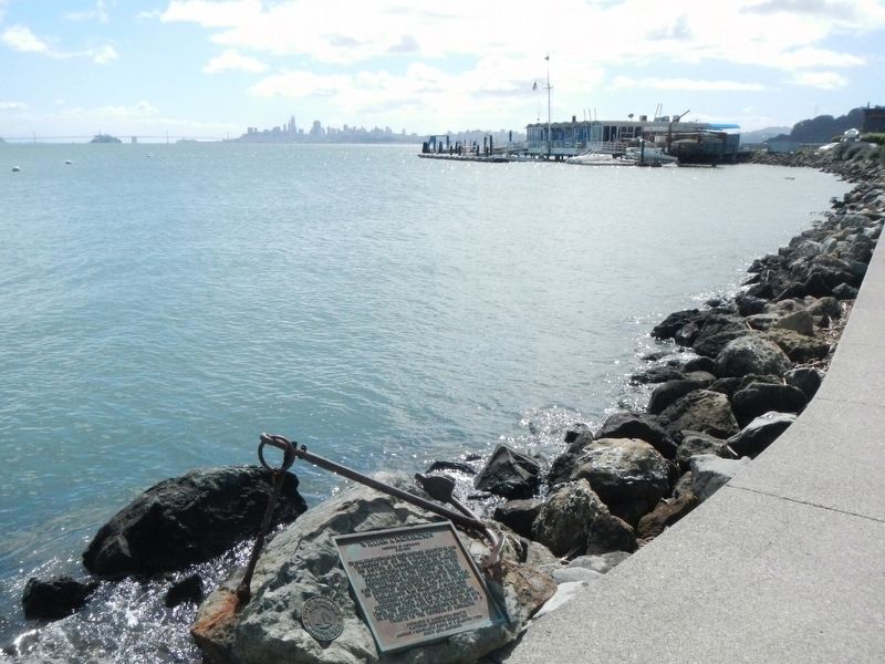
More about this marker. This marker is located in Garielson Park on the rock-work next to the waterfront.
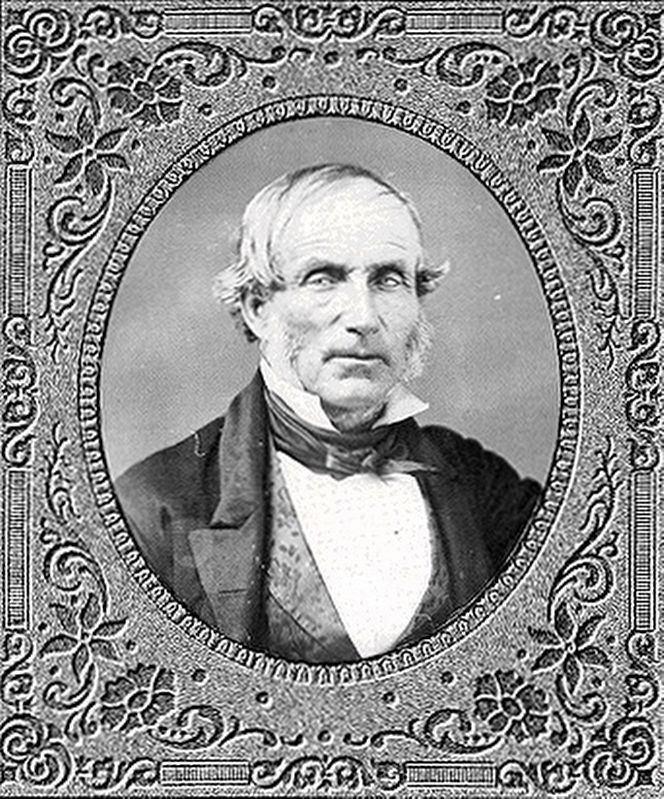
Also see . . . William A. Richardson, 1795-1856. Alta (Upper) California Governor, Juan Alvarado, described William Richardson as "an educated man who had many friends because he was a man of principle and fair to all who had any dealings with him," and "was of an extremely gentle and generous nature." (Submitted on April 1, 2017, by Barry Swackhamer of Brentwood, California.)
Credits. This page was last revised on April 23, 2019. It was originally submitted on April 1, 2017, by Barry Swackhamer of Brentwood, California. This page has been viewed 386 times since then and 21 times this year. Photos: 1, 2, 3, 4. submitted on April 1, 2017, by Barry Swackhamer of Brentwood, California.


