Walnut Creek in Contra Costa County, California — The American West (Pacific Coastal)
Mount Diablo State Park
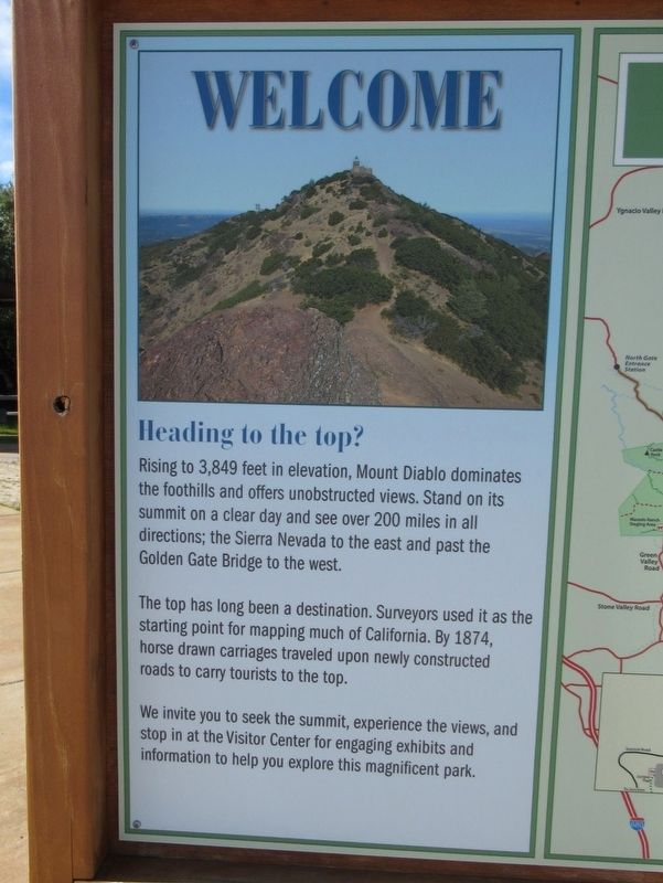
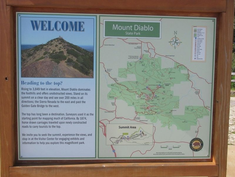
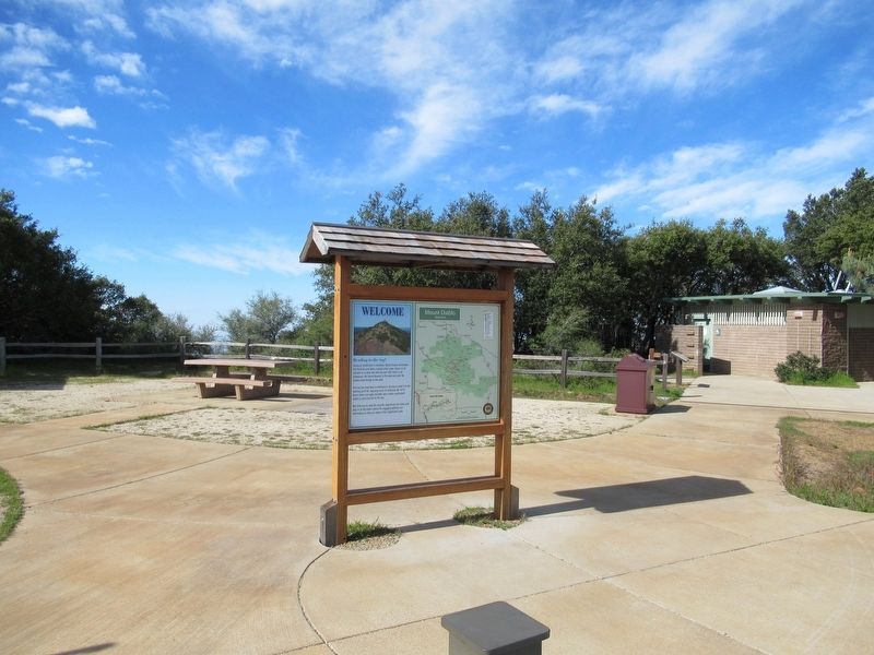
Heading to the top?
The top has long been a destination. Surveyors used it as the starting point for mapping much of California. By 1874, horse drawn carriages traveled upon newly constructed roads to carry tourists to the top.
We invite you to seek the summit, experience the views, and stop in at the Visitor Center for engaging exhibits and information to help you explore this magnificent park.
Topics. This historical marker is listed in this topic list: Landmarks.
Location. 37° 52.859′ N, 121° 55.119′ W. Marker is in Walnut Creek, California, in Contra Costa County. Marker is at the intersection of Summit Road and Blackhawk Road, on the right when traveling north on Summit Road. Located in Mount Diablo State Park. Touch for map. Marker is in this post office area: Walnut Creek CA 94598, United States of America. Touch for directions.
Other nearby markers. At least 8 other markers are within 3 miles of this marker, measured as the crow flies. What Are Those Towers For? (a few steps from this marker); Mt Diablo State Park (approx. ¼ mile away); Mount Diablo Beacon: (approx. ¼ mile away); Mount Diablo (approx. ¼ mile away); Turritella Snail Bed (approx. 2.1 miles away); Sentinel Rock Overlook (approx. 2.2 miles away); Indian Grinding Holes (approx. 2.3 miles away); Blackhawk Ranch Quarry (approx. 2.3 miles away). Touch for a list and map of all markers in Walnut Creek.
Also see . . . Mount Diablo State Park. (Submitted on April 29, 2017, by Michael Herrick of Southbury, Connecticut.)
Credits. This page was last revised on June 29, 2022. It was originally submitted on April 29, 2017, by Michael Herrick of Southbury, Connecticut. This page has been viewed 319 times since then and 21 times this year. Photos: 1, 2, 3, 4. submitted on April 29, 2017, by Michael Herrick of Southbury, Connecticut. 5. submitted on June 29, 2022, by Joseph Alvarado of Livermore, California.


