Kimberly in Warren County, Mississippi — The American South (East South Central)
Brierfield and Hurricane
Inscription.
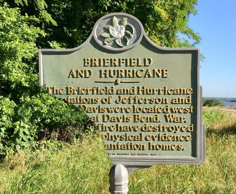
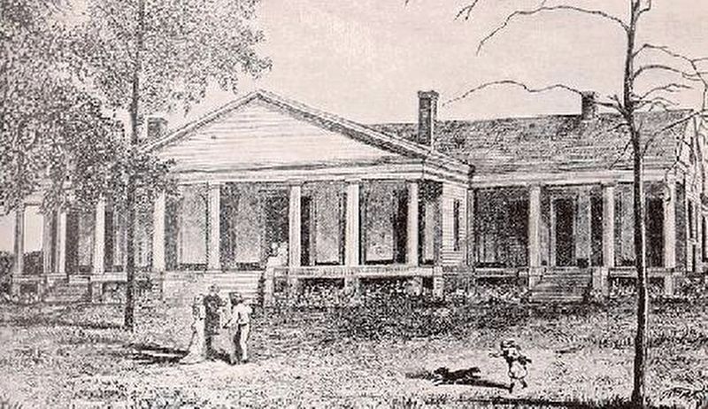
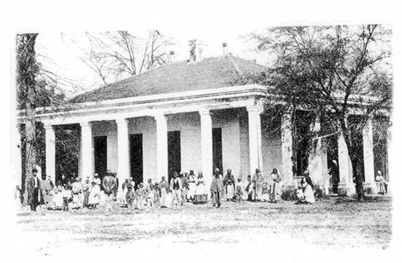
The Brierfield and Hurricane plantations of Jefferson and Joseph Davis were located west of here at Davis Bend. War, floods, and fire have destroyed most of the physical evidence of these plantation homes.
Erected 1991 by the Mississippi Department of Archives and History.
Topics and series. This historical marker is listed in this topic list: Notable Places. In addition, it is included in the Mississippi State Historical Marker Program series list.
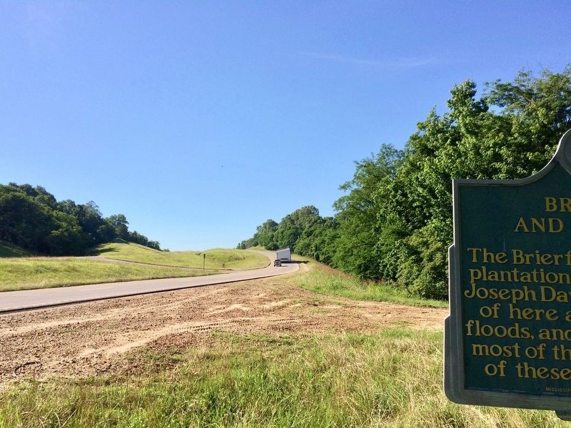
Location. 32° 9.169′ N, 90° 56.609′ W. Marker has been damaged. Marker is in Kimberly, Mississippi, in Warren County. Marker is on U.S. 61 south of Alexander Road, on the right when traveling south. Touch for map. Marker is in this post office area: Vicksburg MS 39180, United States of America. Touch for directions.
Other nearby markers. At least 8 other markers are within 9 miles of this location, measured as the crow flies. Yokena Presbyterian Church (approx. 1.4 miles away); Glass Mounds (approx. 5.3 miles away); Captain Brady Tonth, Jr. (approx. 6 miles away); The Road to Vicksburg (approx. 7.9 miles away); Grant at Hankinson's Ferry (approx. 8.4 miles away); Fight for Hankinson's Ferry (approx. 8.4 miles away); Skirmish at Willow Springs (approx. 8˝ miles away); Federals Occupy Rocky Springs (approx. 8.8 miles away).
Click on the ad for more information.
Please report objectionable advertising to the Editor.
sectionhead>More about this marker. MDAH has been notified about this broken marker.Please report objectionable advertising to the Editor.
Also see . . .
1. Wikipedia article on the Brierfield Plantation. This was the home of Confederate President Jefferson Davis. (Submitted on May 28, 2017, by Mark Hilton of Montgomery, Alabama.)
2. Wikipedia article on the Hurricane Plantation. This was the home of Joseph Emory Davis, the oldest brother of Confederate President Jefferson Davis. (Submitted on May 28, 2017, by Mark Hilton of Montgomery, Alabama.)
Credits. This page was last revised on October 9, 2020. It was originally submitted on May 28, 2017, by Mark Hilton of Montgomery, Alabama. This page has been viewed 938 times since then and 161 times this year. Photos: 1, 2, 3, 4. submitted on May 28, 2017, by Mark Hilton of Montgomery, Alabama.
Editor’s want-list for this marker. Photo of marker when replaced or repaired. • Can you help?


