Near Eldorado in Schleicher County, Texas — The American South (West South Central)
Schleicher County
Inscription.
Formed from Crockett County. Created April 1, 1887. Organized July 9, 1901. Named in honor of Gustav Schleicher, 1823-1879. Pioneer German settler, member of the Texs Legislature, member of the United States Congress. County seat, El Dorado. First bale of cotton, 1904.
Erected 1936 by Texas Highway Department. (Marker Number 4405.)
Topics and series. This historical marker is listed in this topic list: Political Subdivisions. In addition, it is included in the Texas 1936 Centennial Markers and Monuments series list. A significant historical date for this entry is April 1, 1887.
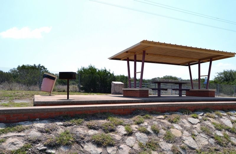
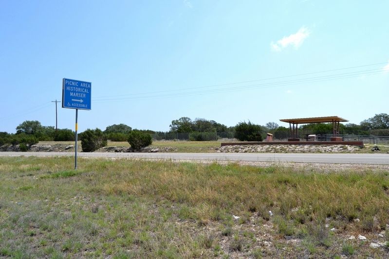
Location. 30° 53.362′ N, 100° 35.072′ W. Marker has been damaged. Marker is near Eldorado, Texas, in Schleicher County. Marker is on U.S. 277, 0.6 miles north of County Road 302, on the right when traveling north. Touch for map. Marker is in this post office area: Eldorado TX 76936, United States of America. Touch for directions.
Other nearby markers. At least 8 other markers are within 3 miles of this location, measured as the crow flies. First Methodist Church of Eldorado (approx. 2.1 miles away); Captain Gustav Schleicher (approx. 2.2 miles away); Schleicher County Courthouse (approx. 2.2 miles away); Bev McCormick (approx. 2.2 miles away); First National Bank Building (approx. 2.3 miles away); First Baptist Church of Eldorado (approx. 2.3 miles away); West Texas Woolen Mills (approx. 2˝ miles away); Site of Verand (approx. 2.8 miles away). Touch for a list and map of all markers in Eldorado.
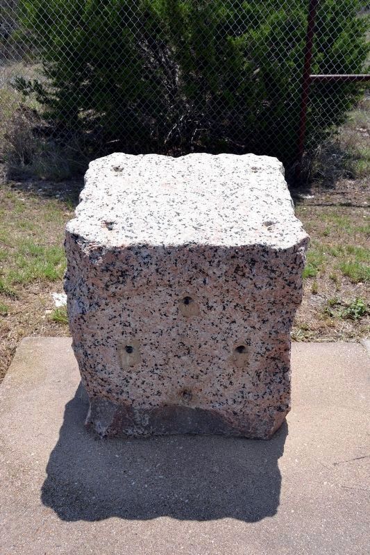
More about this marker. The marker is a Texas Centennial highway marker. The inscription tablet on top of the marker and the Texas Highway Department star medallion are missing. The pink granite stone base remains.
Also see . . . Schleicher County. From the Texas State Historical Association's "Handbook of Texas Online". (Submitted on June 3, 2017.)
Credits. This page was last revised on May 23, 2020. It was originally submitted on June 3, 2017, by Duane Hall of Abilene, Texas. This page has been viewed 402 times since then and 27 times this year. Photos: 1, 2, 3, 4. submitted on June 3, 2017, by Duane Hall of Abilene, Texas.


