Quanah in Hardeman County, Texas — The American South (West South Central)
Medicine Mound Depot
1910
Recorded Texas Historic Landmark
Erected 1964 by Texas Historical Commission. (Marker Number 3312.)
Topics. This historical marker is listed in this topic list: Railroads & Streetcars. A significant historical year for this entry is 1935.
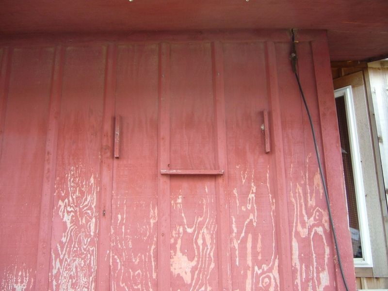
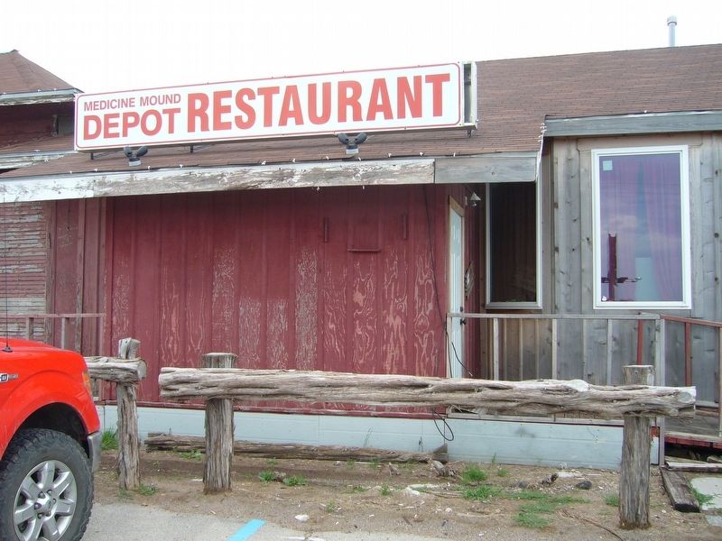
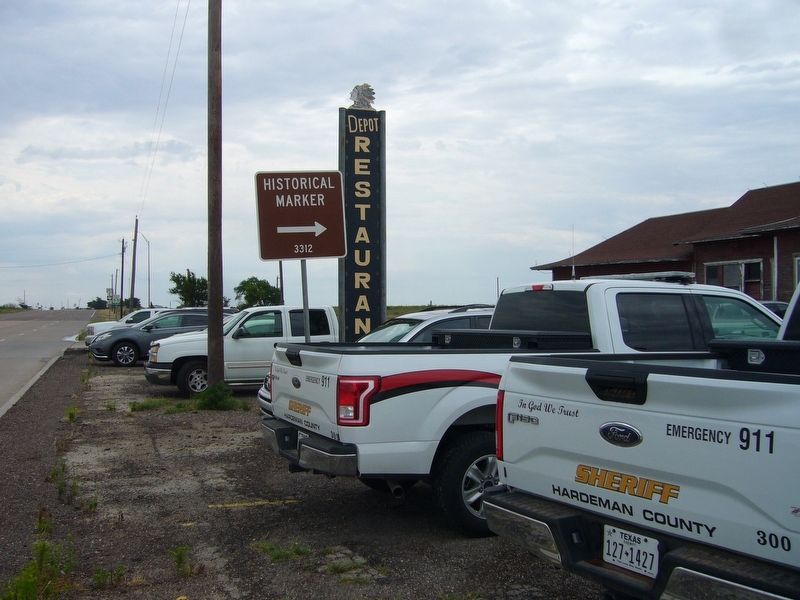
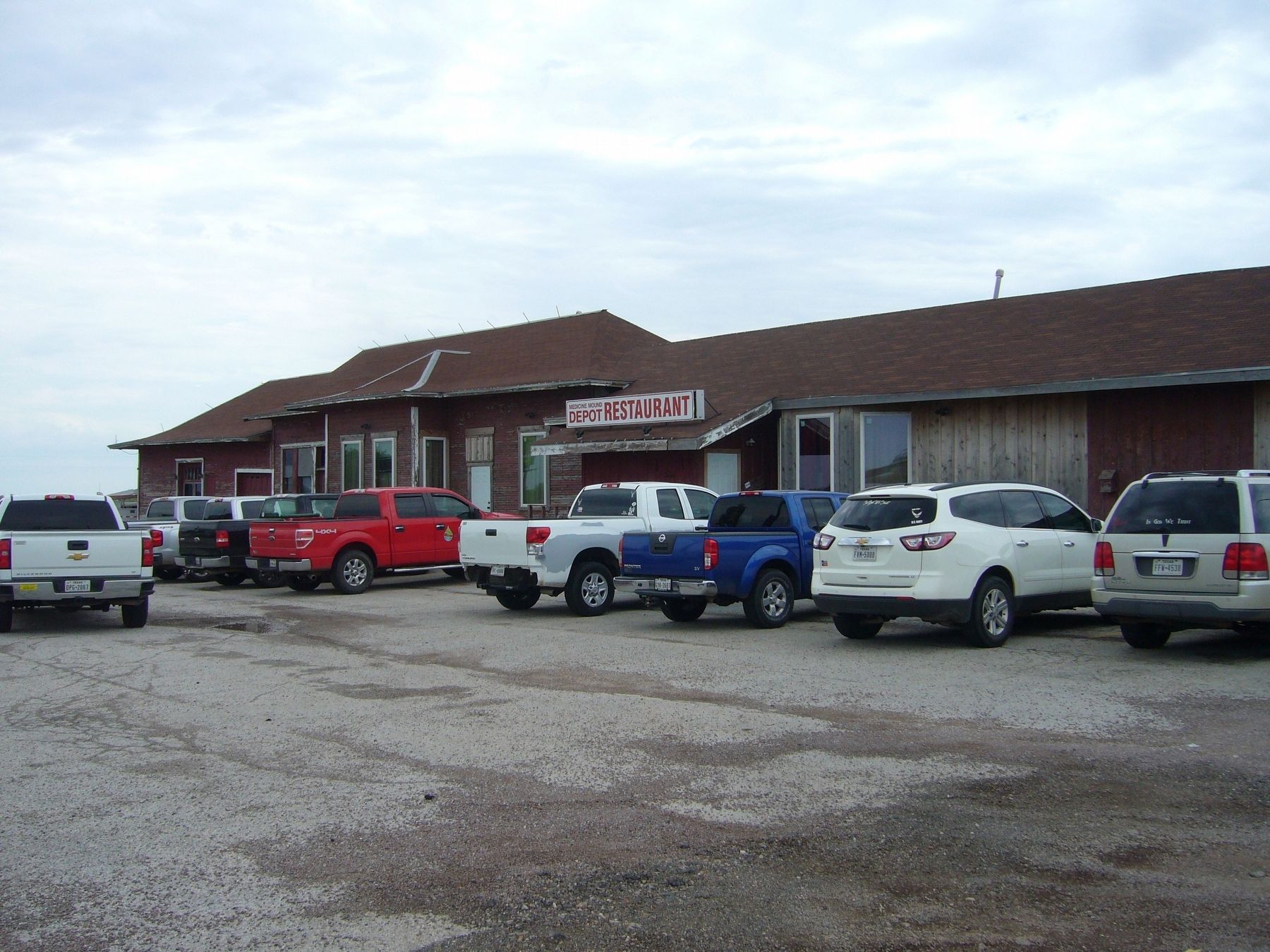
Location. Marker is missing. It was located near 34° 17.14′ N, 99° 43.333′ W. Marker was in Quanah, Texas, in Hardeman County. Marker was on East 11th Street, on the right when traveling east. The marker was on the wall just outside the entrance to Depot Restaurant. Touch for map. Marker was at or near this postal address: 1802 US-287, Quanah TX 79252, United States of America. Touch for directions.
Other nearby markers. At least 8 other markers are within 2 miles of this location, measured as the crow flies. First Presbyterian Church of Quanah (approx. 1.2 miles away); Hardeman County Courthouse (approx. 1.3 miles away); Quanah Parker (approx. 1.3 miles away); Quanah Parker Trail (approx. 1.4 miles away); Trinity Church of Quanah (approx. 1.4 miles away); Hardeman County Jail (approx. 1˝ miles away); William Jesse McDonald (approx. 1˝ miles away); Hardeman County (approx. 1.7 miles away). Touch for a list and map of all markers in Quanah.
Credits. This page was last revised on July 14, 2023. It was originally submitted on July 1, 2017, by Bill Kirchner of Tucson, Arizona. This page has been viewed 606 times since then and 38 times this year. Last updated on July 13, 2023, by Allen Lowrey of Amarillo, Texas. Photos: 1, 2, 3, 4, 5. submitted on July 1, 2017, by Bill Kirchner of Tucson, Arizona. • J. Makali Bruton was the editor who published this page.


