Innere Stadt in Wien, Austria — Central Europe (Eastern Alps)
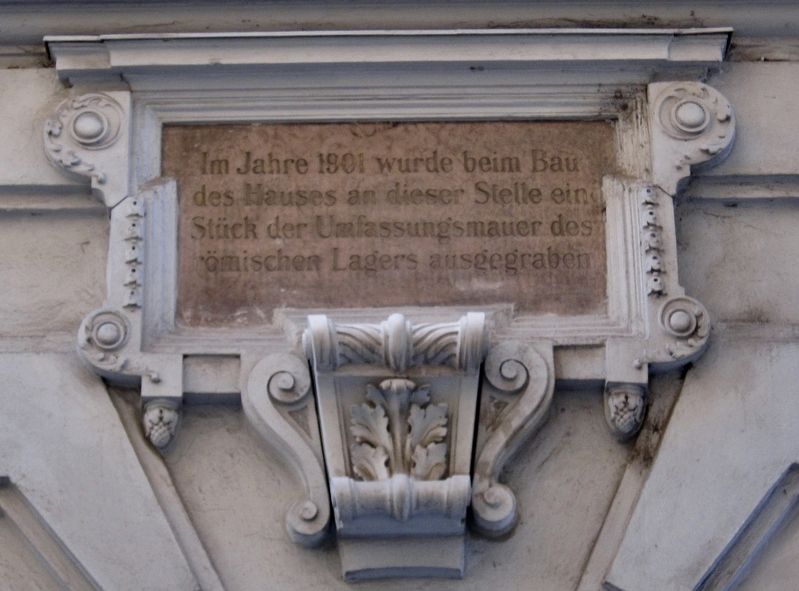
Roman Ruins
des Hauses an dieser Stelle ein
Stück der Umfassungsmauer des
römischen Lagers ausgegraben
Topics. This historical marker is listed in these topic lists: Forts and Castles • Settlements & Settlers.
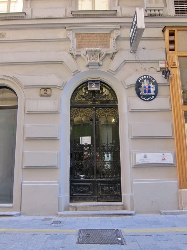
Location. 48° 12.584′ N, 16° 22.106′ E. Marker is in Wien. It is in Innere Stadt. Marker is on Naglergasse just north of Kohlmarkt. Touch for map. Marker is at or near this postal address: Naglergasse 2, Wien 1010, Austria. Touch for directions.
Other nearby markers. At least 8 other markers are within walking distance of this marker. Hans Christian Andersen (within shouting distance of this marker); Henry Dunant and the Red Cross (about 90 meters away, measured in a direct line); Mozart Lived Here (about 120 meters away); Pope Innocent XII (Antonio Pignatelli) (about 120 meters away); Frederic Chopin (about 150 meters away); Josef Sonnleithner (about 150 meters away); Dietrich von Hildebrand (about 150 meters away); Johann Nestroy (about 180 meters away). Touch for a list and map of all markers in Wien.
Also see . . .
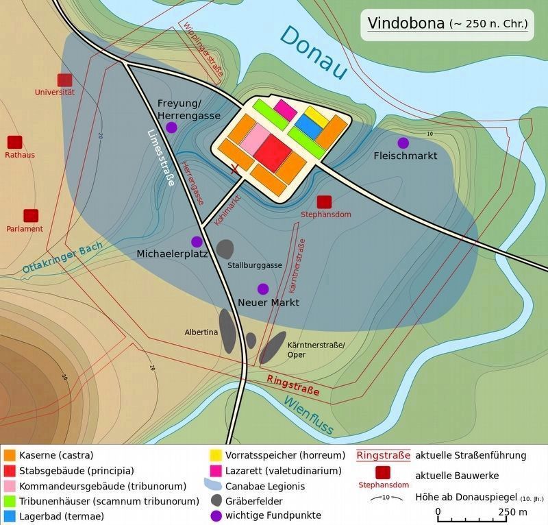
1. Vindobona (Wikipedia) . Vindobona (from Gaulish windo- "white" and bona "base/bottom") was a Celtic settlement and later a Roman military camp on the site of the modern city of Vienna in Austria.... Around 15 BC, the kingdom of Noricum was included in the Roman Empire. Henceforth, the Danube marked the border of the empire, and the Romans built fortifications and settlements on the banks of the Danube, including Vindobona with an estimated population of 15,000 to 20,000. (Submitted on July 11, 2017.)
2. From the Roman Military Camp to the End of the First Millenary - History of Vienna (City of Vienna). Like many other cities of Continental Europe, Vienna originated in ancient Roman times. In the first century AD, the Romans set up a military camp, called Vindobona, which formed part of the large number of similar facilities along the Limes frontier. The camp was situated in what is today the core of the city. The course of the wall is reflected, to this day, in a series of very striking streets in the inner city. From the third century, there is evidence for a civilian settlement in the southeast, a little outside the camp. Much less is known about its layout and buildings, however, than about the camp. Neither of these facilities on the site of the present city had any significance within the ancient "cityscape" of
Austria. The late 4th and 5th centuries began to see the dramatic decline not only of the Roman Empire in general but also of Vindobona in particular. Archaeological evidence provides information of a devastating fire in the storage area at the beginning of the 5th century. (Submitted on July 11, 2017.)
Credits. This page was last revised on February 1, 2022. It was originally submitted on July 11, 2017, by Andrew Ruppenstein of Lamorinda, California. This page has been viewed 185 times since then and 10 times this year. Photos: 1, 2, 3. submitted on July 11, 2017, by Andrew Ruppenstein of Lamorinda, California.


