Soda Springs in Caribou County, Idaho — The American West (Mountains)
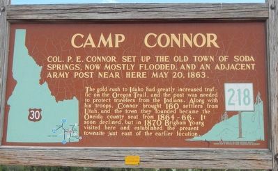
Camp Connor
The gold rush to Idaho had greatly increased traffic on the Oregon Trail, and the post was needed to protect travelers from the Indians. Along with his troops, Connor brought 160 settlers from Utah, and the town they founded became the Oneida county seat from 1864-66. It soon declined, but in 1870 Brigham Young visited here and established the present townsite just east of the earlier location.
Erected by Idaho Department of Transportation. (Marker Number 218.)
Topics and series. This historical marker is listed in this topic list: Forts and Castles. In addition, it is included in the Idaho State Historical Society series list. A significant historical date for this entry is May 20, 1863.
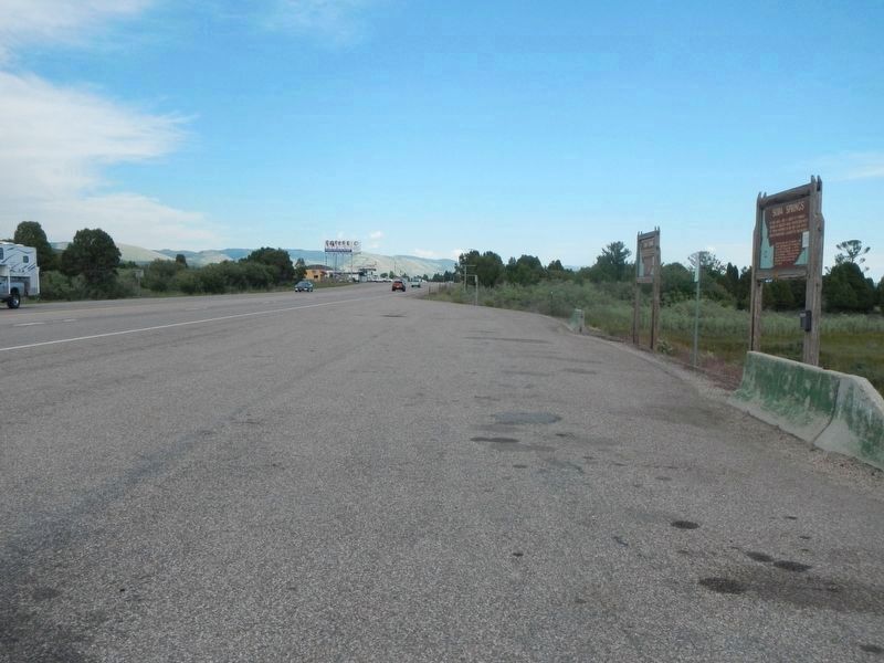
Location. 42° 39.48′ N, 111° 37.564′ W. Marker is in Soda Springs, Idaho, in Caribou County. Marker is on U.S. 30 near South 3rd Street West, on the left when traveling west. Touch for map. Marker is at or near this postal address: 2607 US Scenic 30, Soda Springs ID 83276, United States of America. Touch for directions.
Other nearby markers. At least 8 other markers are within one mile of this marker, measured as the crow flies. Soda Springs (within shouting distance of this marker); First In Soda Springs (approx. 0.7 miles away); Clash Of Cultures (approx. 0.7 miles away); Law & Order On The Frontier (approx. 0.7 miles away); A New Beginning... (approx. 0.7 miles away); Not A Walk In The Park... (approx. one mile away); Wagon Box Grave of 1861 (approx. one mile away); Niels Anderson ---- Mary Christoffersen Anderson (approx. one mile away). Touch for a list and map of all markers in Soda Springs.
Credits. This page was last revised on July 23, 2017. It was originally submitted on July 23, 2017, by Barry Swackhamer of Brentwood, California. This page has been viewed 788 times since then and 65 times this year. Photos: 1, 2. submitted on July 23, 2017, by Barry Swackhamer of Brentwood, California.

