Carthay Circle in Los Angeles in Los Angeles County, California — The American West (Pacific Coastal)
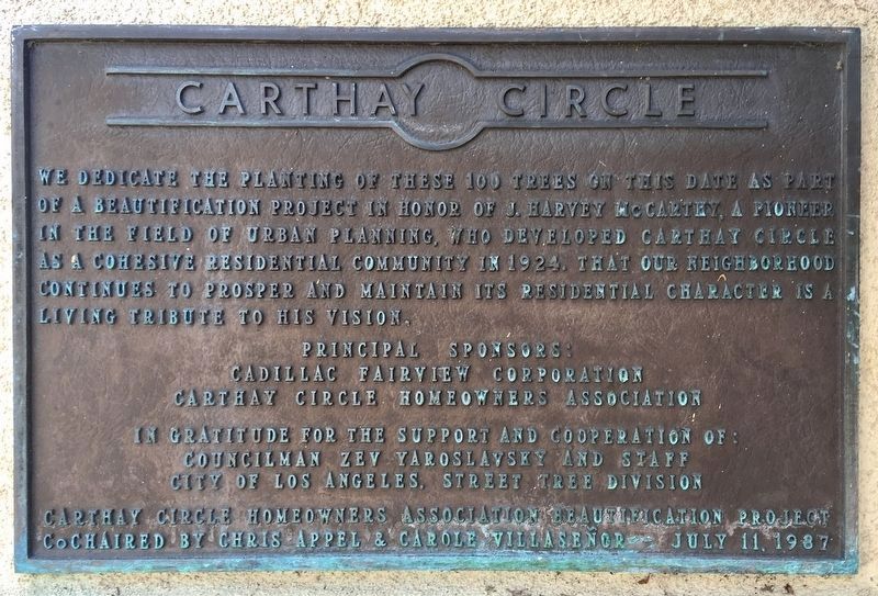
Carthay Circle
Erected 1987 by Carthay Circle Homeowners Association.
Topics. This historical marker is listed in this topic list: Notable Places. A significant historical year for this entry is 1924.
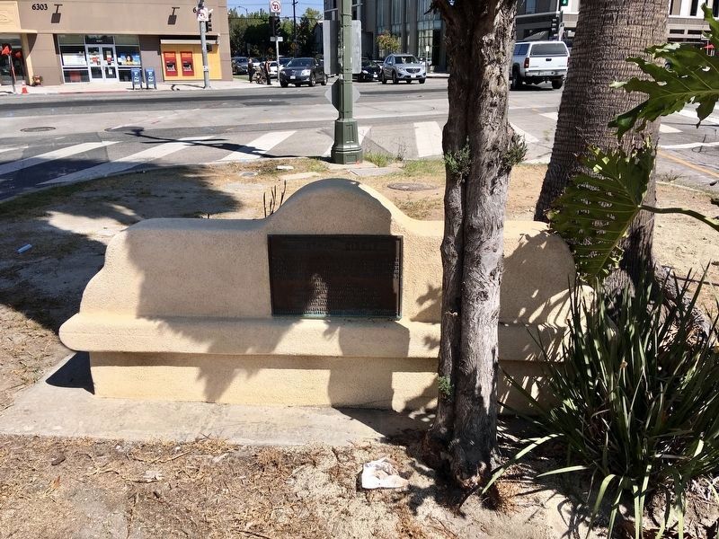
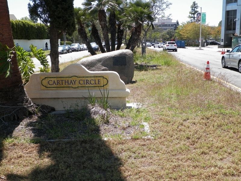
Location. 34° 3.792′ N, 118° 21.934′ W. Marker is in Los Angeles, California, in Los Angeles County. It is in Carthay Circle. Marker is at the intersection of McCarthy Vista and Wilshire Boulevard, on the left when traveling east on McCarthy Vista. Touch for map. Marker is in this post office area: Los Angeles CA 90048, United States of America. Touch for directions.
Other nearby markers. At least 8 other markers are within walking distance of this marker. Jedediah Strong Smith (here, next to this marker); Daniel O. McCarthy (approx. 0.2 miles away); Juan Bautista de Anza (approx. 0.2 miles away); "Snowshoe" Thompson (approx. ¼ mile away); Berlin Wall Segments (approx. 0.4 miles away); Chester Stock, Ph.D. / Observation Pit (approx. half a mile away); Hancock Park (approx. 0.6 miles away); Portolá Trail 1769 (approx. 0.6 miles away). Touch for a list and map of all markers in Los Angeles.
Regarding Carthay Circle. The development was originally known as Carthay Center. As the Carthay Circle Theater, built in 1926, came to be better known than the neighborhood, and owing to a general misunderstanding of the origin of the name "Circle Theater", the neighborhood gradually came to be known by the same name, as Carthay Center became Carthay Circle.
Credits. This page was last revised on January 30, 2023. It was originally submitted on July 30, 2017, by James King of San Miguel, California. This page has been viewed 429 times since then and 38 times this year. Photos: 1, 2. submitted on October 9, 2021, by Craig Baker of Sylmar, California. 3. submitted on July 30, 2017, by James King of San Miguel, California. • Syd Whittle was the editor who published this page.


