Big Rapids in Mecosta County, Michigan — The American Midwest (Great Lakes)
Mineral Well
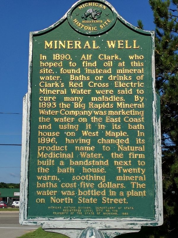
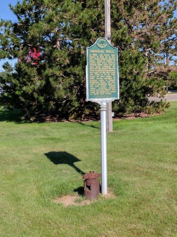
In 1890, Alf Clark, who hoped to find oil at this site, found instead mineral water. Baths or drinks of Clark's Red Cross Electric Mineral Water were said to cure many maladies. By 1893 the Big Rapids Mineral Water Company was marketing the water on the East Coast and using it in its bath house on West Maple. In 1896, having changed its product name to Natural Medicinal Water, the firm built a bandstand next to the bath house. Twenty warm, soothing mineral baths cost five dollars. The water was bottled in a plant on North State Street.
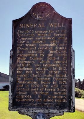
The 1905 prospectus of the Yo-Landa Mineral Springs Company envisioned using Clark's mineral water in soft drinks, automobile anti-freeze and curative drinks. But scientific medicine, exemplified by the Ferris State College of Pharmacy, which opened in 1893, was beginning to challenge elixirs. In 1912, the last local effort to market Clark's water failed. Its plant became Pioneer Publications' home in 1971; and in 1979 the well site became part of Ferris State, whose offerings include degrees in pharmacy, optometry and allied health.
Erected 1983 by Michigan History Division, Department of State. (Marker Number L1119.)
Topics and series. This historical marker is listed in this topic list: Industry & Commerce . In addition, it is included in the Michigan Historical Commission series list. A significant historical year for this entry is 1890.
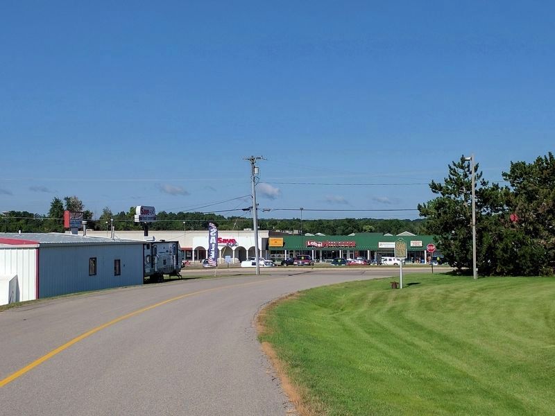
Location. 43° 40.389′ N, 85° 28.974′ W. Marker is in Big Rapids, Michigan, in Mecosta County. Marker is at the intersection of Northland Drive and South State Street, on the left when traveling east on Northland Drive. Touch for map. Marker is in this post office area: Big Rapids MI 49307, United States of America. Touch for directions.
Other nearby markers. At least 8 other markers are within 2 miles of this marker, measured as the crow flies. Ferris Institute (approx. 1.4 miles away); Helen's Garden (approx. 1.4 miles away); "Old Main" (approx. 1.4 miles away); St. Andrew's Episcopal Church (approx. 1˝ miles away); Historic Downtown (approx. 1.6 miles away); Old Mecosta County Jail (approx. 1.6 miles away); First United Methodist Church (approx. 1.6 miles away); a different marker also named Historic Downtown (approx. 1.7 miles away). Touch for a list and map of all markers in Big Rapids.
Credits. This page was last revised on December 8, 2022. It was originally submitted on August 8, 2017, by Joel Seewald of Madison Heights, Michigan. This page has been viewed 298 times since then and 25 times this year. Photos: 1, 2, 3, 4. submitted on August 8, 2017, by Joel Seewald of Madison Heights, Michigan.


