Big Rapids in Mecosta County, Michigan — The American Midwest (Great Lakes)
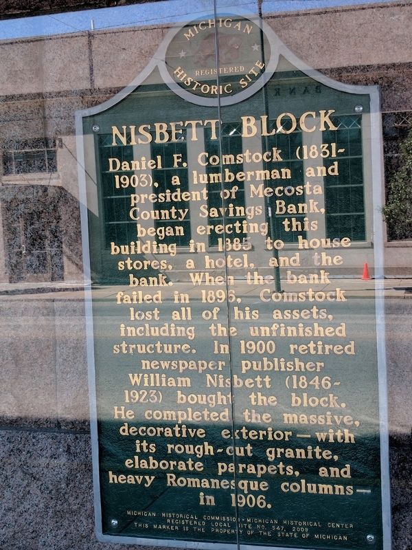
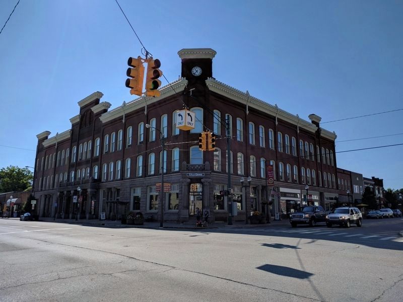
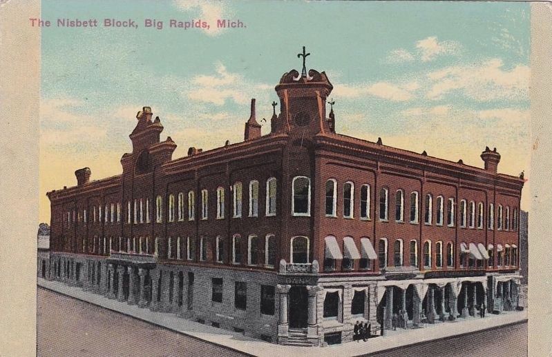
Nisbett Block
Erected 2009 by Michigan Historical Commission - Michigan Historical Center. (Marker Number L547.)
Topics and series. This historical marker is listed in this topic list: Industry & Commerce. In addition, it is included in the Michigan Historical Commission series list. A significant historical year for this entry is 1885.
Location. 43° 41.894′ N, 85° 28.899′ W. Marker is in Big Rapids, Michigan, in Mecosta County. Marker is at the intersection of Maple Street (State Highway 20) and South Michigan Avenue, on the right when traveling east on Maple Street. The marker is partially obscured by a bus shelter. Touch for map. Marker is at or near this postal address: 101 South Michigan Avenue, Big Rapids MI 49307, United States of America. Touch for directions.
Other nearby markers. At least 8 other markers are within walking distance of this marker. Historic Downtown (within shouting distance of this marker); Fairman Building (within shouting distance of this marker); Ferris State College (within shouting distance of this marker); a different marker also named Historic Downtown (within shouting distance of this marker); a different marker also named Historic Downtown (within shouting distance of this marker); a different marker also named Historic Downtown (within shouting distance of this marker); a different marker also named Historic Downtown (about 300 feet away, measured in a direct line); a different marker also named Historic Downtown (about 600 feet away). Touch for a list and map of all markers in Big Rapids.
Also see . . . Nisbett Building. Wikipedia article about the Nisbett Building. (Submitted on August 9, 2017, by Joel Seewald of Madison Heights, Michigan.)
Credits. This page was last revised on August 11, 2017. It was originally submitted on August 9, 2017, by Joel Seewald of Madison Heights, Michigan. This page has been viewed 277 times since then and 15 times this year. Photos: 1, 2. submitted on August 9, 2017, by Joel Seewald of Madison Heights, Michigan. 3. submitted on August 11, 2017.


